Beinn Tharsuinn, Bidein a'Choire Sheasgaich and Lurg Mor
MunrosBidein a'Choire Sheasgaich
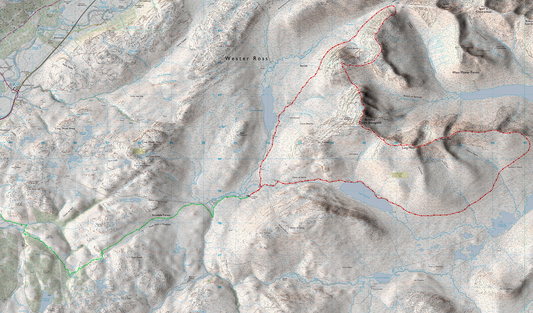
Lurg Mhor Distance/Ascent30km 1635m
|
CorbettsBeinn Tharsuinn
Estimated Time12h 00min
|
NotesCould be quite a big day - best done fast and light! Lurg Mor and Bidein a'Choire Sheasgaich previously climbed in full winter conditions with a big pack en route between Maol Bhuide and Bearnais bothies Easter 1992.
|
View Beinn Tharsuinn in a larger map
19 - 21 October 2015
I emailed Attadale Estates about my plans to which I received a very friendly reply which they signed off with "With best wishes for a successful trip". They had finished the stag stalking season three days prior to my walk over these remote hills and the culling of the hinds had not begun. I may have missed the best of the weather but my timing was going to cause the least disruption to the activities of the estate.
|
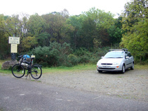
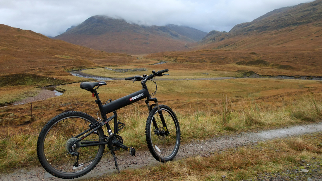
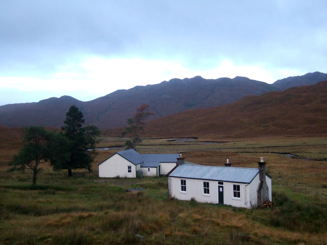
The estate kindly provides a small car part for walkers without having to pay the £6 entry to Attadale Gardens. My chain came off while still on tarmac - I think a full bike service is due. I keep it clean and well lubricated but I think it is time for some minor adjustments to be made. It took approximately two hours to cycle to the bothy (taking my time).
|
|
There was a basket of chopped wood as well as some large blocks in the "kitchen" area.
While I consider my general mountain and campcraft skills to be good, I am absolutely hopeless at cutting wood. If it is branches of dead wood, I prefer to use a big rock to smash it up as I lack the skills required to efficiently use an axe or saw. The fact that the wood is usually fairly fresh without cracks or weaknesses and the axe is usually blunt with a loose head, which makes me a little nervous about the possibility of it flying off, adds to my difficulties. Here are a couple of videos showing how it should be done: |
|
I set off for the hills at 08:30 the next morning, perhaps 45 minutes later than I should have done but it is difficult to sort yourself out properly in the candle light and I wanted to leave the place tidy even though I was (expecting) to return in the evening.
|
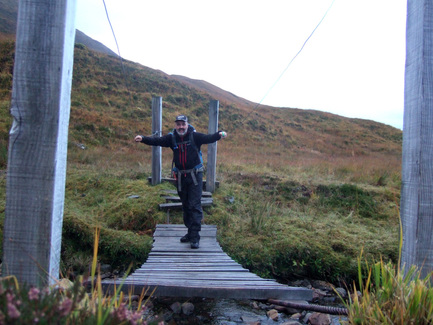
A short way up the track there is a ford and a footbridge with some missing planks. Wearing gaiters, I could have just splashed my way across the burn but I used the bridge. It could be a life saver when the burn is in spate though! On my return, I forded the burn.
|
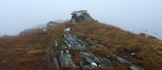
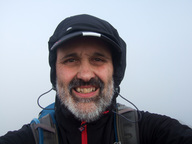
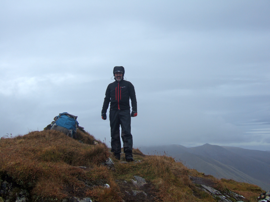
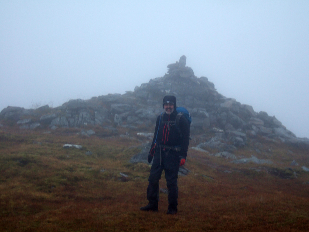
There is a small difference between the two maps above. My route up Beinn Tharsuinn followed that shown on the Google map, taking a bit of a short cut up Coire Beithe and joining the ridge a few hundred metres north of the summit cairn. When I looked up the coire, the summit was clear but fresh cloud had arrived by the time I reached the summit. Dropping a few feet down to the east side of the mountain gave shelter from the wind and I stopped for elevenses. The cairn is very modest for such a fine mountain. I've decided that black is not a good colour to wear for summit photographs in mist.
On leaving the summit there was an interesting flat rock that seemed to be pointing the way to the summit and as I looked round to see if it had been placed as a marker, I placed my right foot badly, turning my ankle and doing a very smooth somersault in the process. I could not do such a perfect somersault deliberately, especially with a rucksack on my back. The sprain was only slight and I gingerly continued.
|
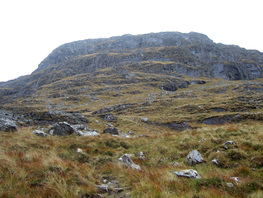
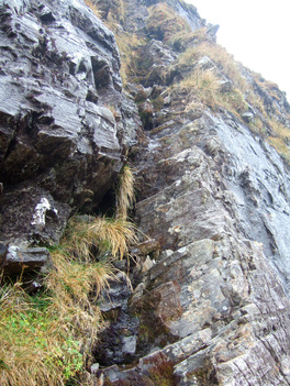
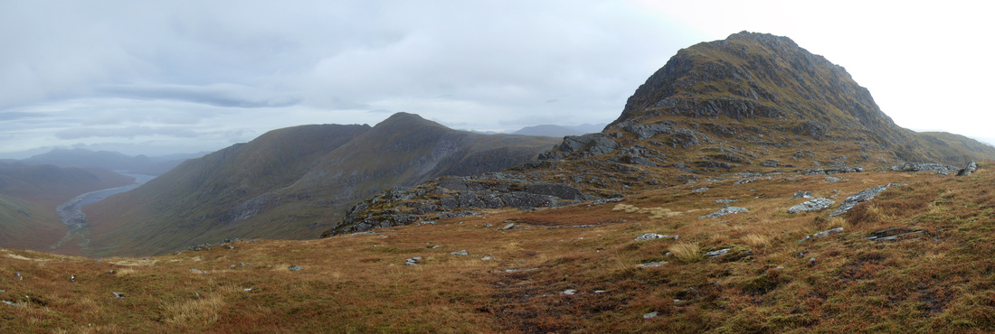
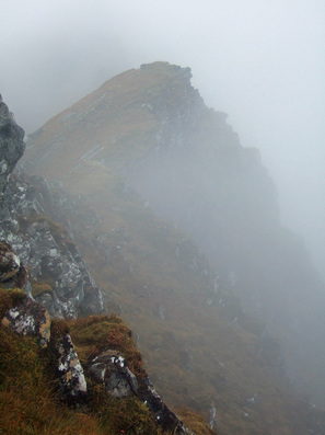
On descending the west top of Beinn Tharsuinn, I tried to pick out a route up the crags of the north ridge of Bidein a'Choire Sheasgaich. I thought that I could make out a faint path going up to the right of the crags but the purist in me wanted a more direct approach. I could see a possible weakness up the upper tier by way of a slanting grassy gully. I should have stopped to take a photograph but was too focused (excuse the pun) on picking out the route. On reaching the Bealach an Sgoltaidh, I could make out a slight path which I followed to a steep corner. This was followed with increasing ease to a broad grassy terrace. Apparently, there is a route straight ahead but I followed the cairns left to the base of the aforementioned grassy gully within which the path was clear with a series of foot sized steps that had been kicked into the vegetation.
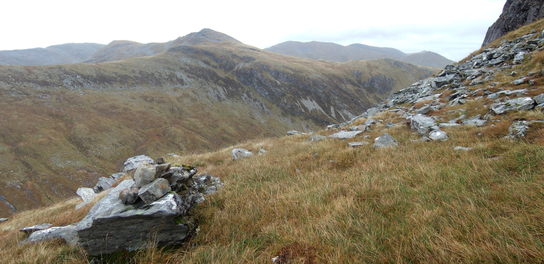
Top right: The crags looking formidable from the bealach below Bottom right: The steep Corner Below: The view to Beinn Tharsuinn from one of the cairns on the grassy terrace |
Once above the second tier of crags, the ground became much easier and I could see the summits of both Bidein a'Choire Sheasgaich and Lurg Mhor with its eastern ridge continuing to Meall Mhor.
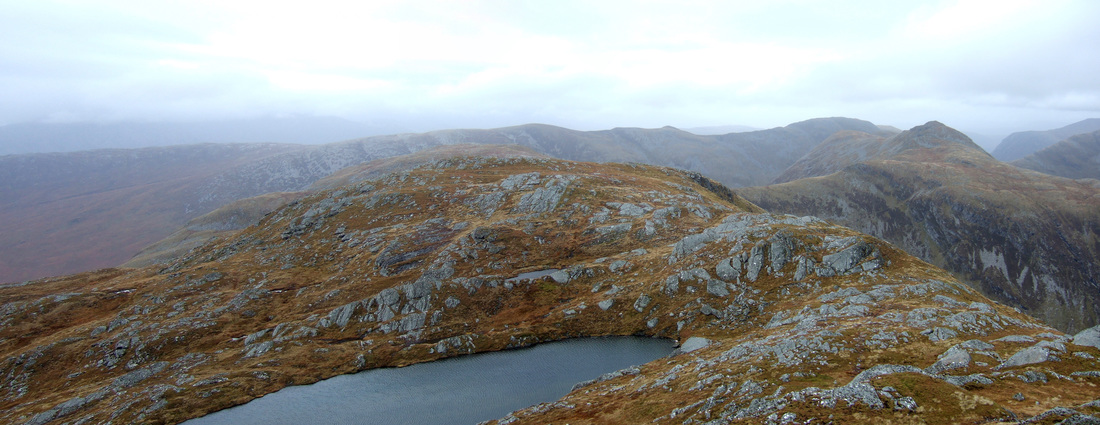
The route passes a lochan before the last 120m climb to the summit, which again has a tiny cairn for a mountain of such stature. I have been on some lesser hills with huge cairns such as Beinn Mholach. The view below looks north to the Corbetts Beinn Tharsuinn and Sgurr na Feartaig beyond.
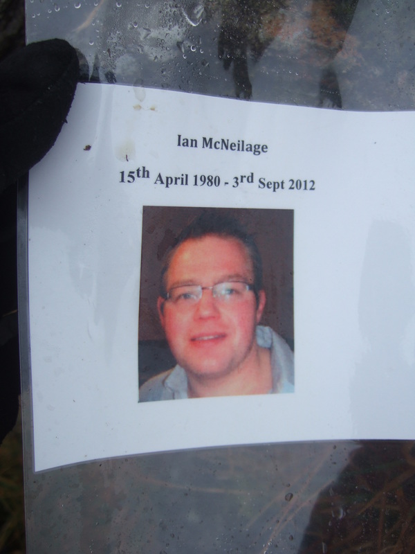
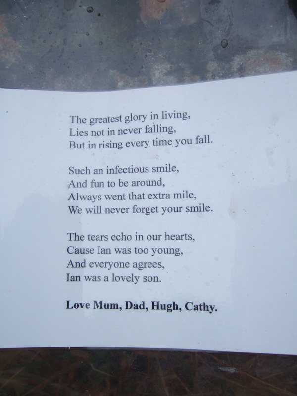
Just before leaving the summit, I thought that I spotted some plastic rubbish in the cairn, which I extracted with the intention of removing it from the hill. At one point, I thought it was a geocache but unrolling it revealed that it was a memorial item for someone called Ian McNielage. Further research suggests that these have been left on numerous Munros. I am a little concerned about the number of memorials in the hills. I think that if someone actually died on the hill, the situation is a little different but if every comleatist or person who died prior to compleation had multiple memorials on every hill they climbed/hadn't climbed, the situation would soon get out of hand. I once heard a story of the ashes of a member of the RAF Mountain Rescue, who had died of cancer, having his ashes taken up in a helicopter and the helicopter touching down on just one wheel on the small number of Munros that he had not climbed before heading to his last Munro to disperse his ashes. I think that is a wonderful send off for a lover of the Highlands. Laminated sheets are a slightly different matter. However, I realise that not everyone has access to a helicopter and out of respect for Ian and the feelings of his family and friends, I placed the photograph and poem back in the cairn.
My ankle was still a little bit sore but it was much easier continuing to Lurg Mhor. Thicker cloud moved in and the buffeting effect of the wind strengthened.
|
Lurg Mhor is a mountain that stands prominent in my memories of my round of the Munros. Along with Bidein a'Choire Sheasgaich, it had been included in a ten day expedition starting at the Clunie Inn and zig-zagging along the ridges that generally run east to west to eventually reach the Strathcarron Hotel. This had been during April 1992 using bothies and some nights a single skin Goretex hooped bivvy. Lurg Mhor was included in the route on the penultimate day and last day on higher ground. Starting at Moal Bhuidhe bothy, I walked towards Pait Lodge before ascending the east ridge of Meall Mhor. I remember the connecting ridge to Lurg Mhor having a difficult step which was a bit of a struggle with a big pack in winter conditions. I wanted to take another look at it but in the opposite direction. This time, travelling in the opposite direction, this difficult step was not the hardest part! Climbing up in exposed situations is easier than climbing down and another part of the ridge which would have been quite easy going up looked unappealing in descent - it was just a step down to a small ledge but it was very wet underfoot and a bloody big drop if I slipped. Discretion is the better part of valour and I retraced my last few steps and dropped down the south side and went around the difficulties.
|
I considered descending a pleasant grassy minor ridge heading south from the summit of Meall Mhor but the weather was clearing and I decided to stick with Plan A and continue with the gentler but longer option of following the ridge towards Pait Lodge. Here the ridge is wider though still falling away steeply down to Loch Monar on its northern side. This was a very relaxed part of the day with the best photo opportunities:
Looking south from left to right - Sgurr na Lapaich - An Riabhachan - An Socach - Aonach Buidhe. The lower hill is the Graham An Cruachan.
Looking north from left to right - Bidein a'Choire Sheasgaich - Beinn Tharsuinn - Sgurr Choinnich - Sgurr a' Chaorachain - Maoile Lunndaidh.
Dropping down to Loch an Tachdaidh, I kept to higher ground as it is easier to see a path from above. Contouring round in fading light, I eventually joined the start of the stony track that presumably marks the start of the Attadale Estate. It was pretty dark by the time I reached Loch Calavie. I had a Maglite torch in my pocket to follow the track but it must have a bad connection, as it occasionally went out and I had to hit it a few times to come back on. I also had a Petzl headtourch in my pack but I managed without it.
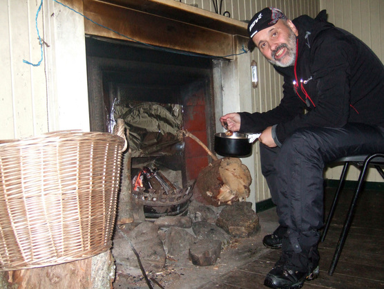
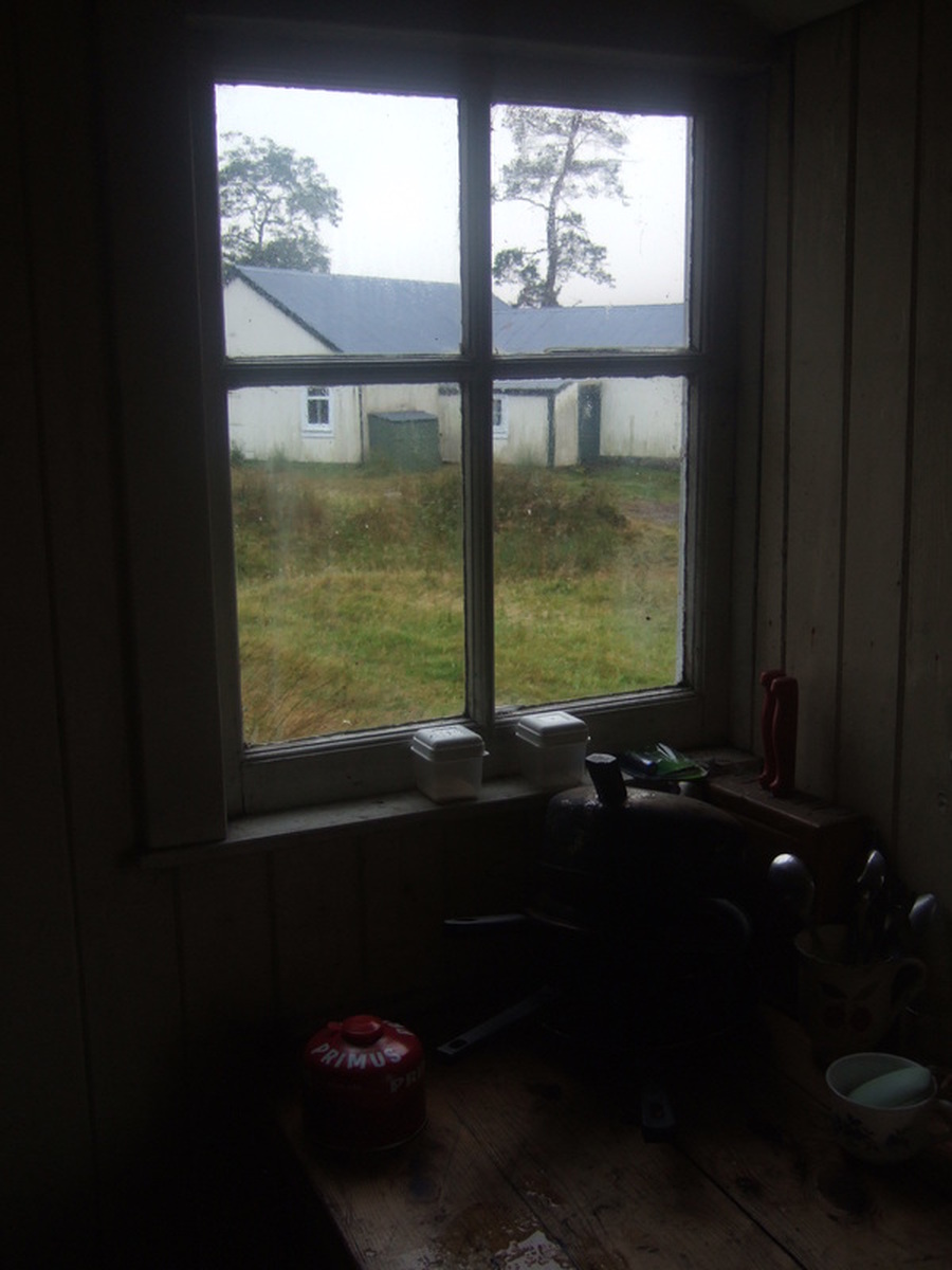
I eventually reached Bendronaig Lodge at around 20:00, tired but not too exhausted, considering I'd had an eleven and a half hour day on the hill. I cooked Chilli Con Carne with rice and made a small fire which continued to burnt slowly after I had gone to bed.
I eventually reached Bendronaig Lodge at around 20:00, tired but not too exhausted, considering I'd had an eleven and a half hour day on the hill. I cooked Chilli Con Carne with rice and made a small fire which continued to burnt slowly after I had gone to bed.
The next morning was wet and windy. After another failed attempt to chop up a block of wood, I packed up and set off back over the pass and down to Attadale.

