Sgurr na Feartaig
MunrosNone
|
CorbettsSgurr na Feartaig
|
GrahamsNone
|
BothiesNone
|
6 September 2015
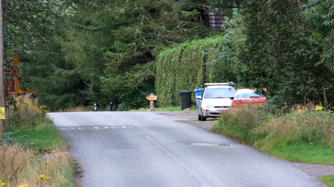
An old man came out of his garden and pottered about; I'm not quite sure what he was doing. I said "Good morning" and he replied in a neutral voice. He didn't ask me to move my car so I took it that it was fine as it was.
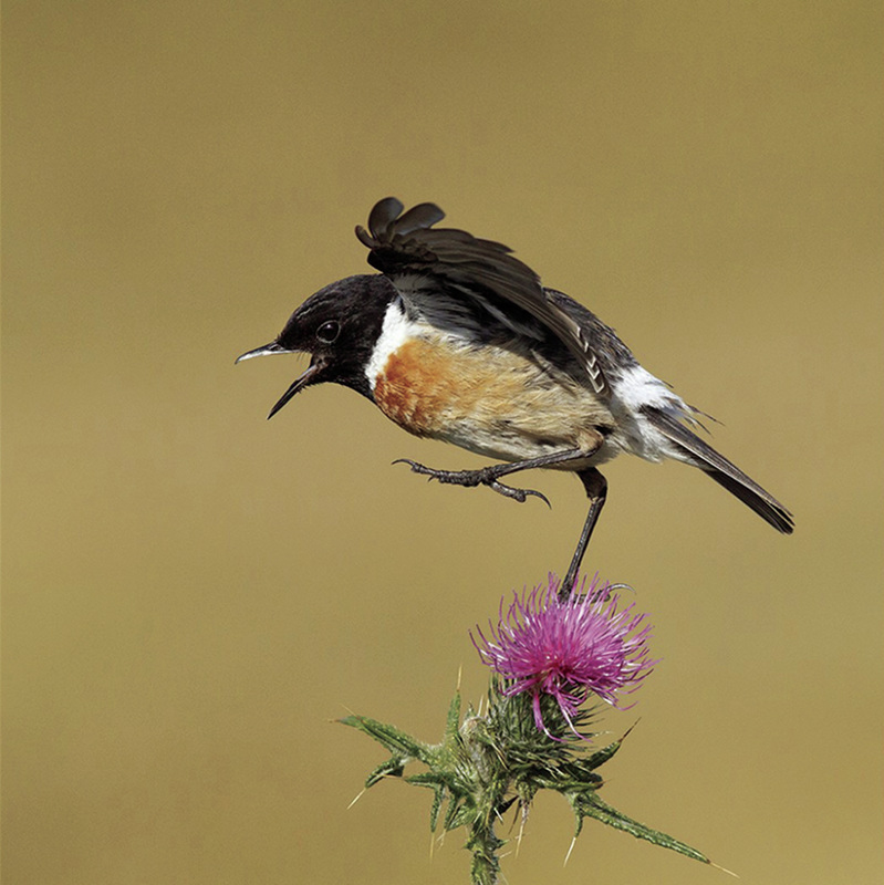
As I followed the track towards the River Carron, I saw (and heard) a stonechat. Unfortunately, it flew away and would have appeared very small on a photograph, so here is a fine photograph from NorthernLife magazine.
As I followed the track towards the River Carron, I saw (and heard) a stonechat. Unfortunately, it flew away and would have appeared very small on a photograph, so here is a fine photograph from NorthernLife magazine.
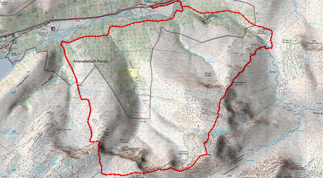
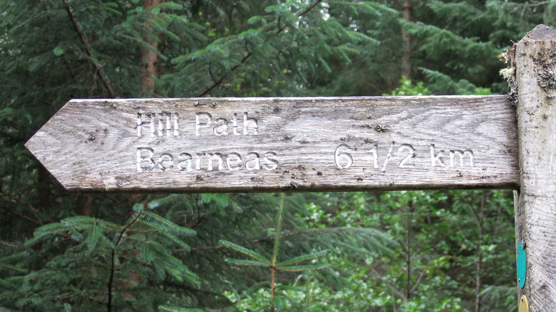
The route forks right from the Pollan Buidhe track and heads west for approximately two miles. The track is almost level and the ground is quickly covered until reaching a signpost marking the start of the stalker's path over to Bearnais. Interesting to see a sign with the distance given in kilometres!
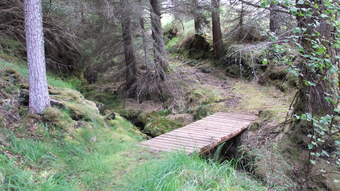
The path is a bit wet at first but becomes dryer and stonier as it heads up through the forest. The gradient was reasonably gentle while still feeling like I was making good progress up the hill.
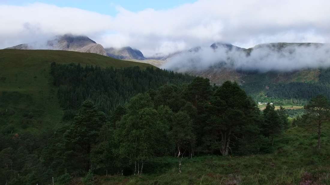
Once above the tree-line, there were views of Fuar Tholl and other cloud-capped hills to the north.
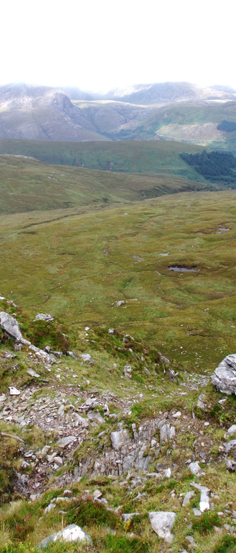
The path ran below the crest of Carn Mor before heading up steeply up Aon Cheum. The photo below is looking down the steep section of the path.
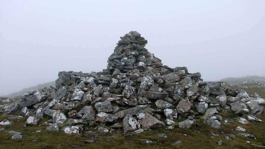
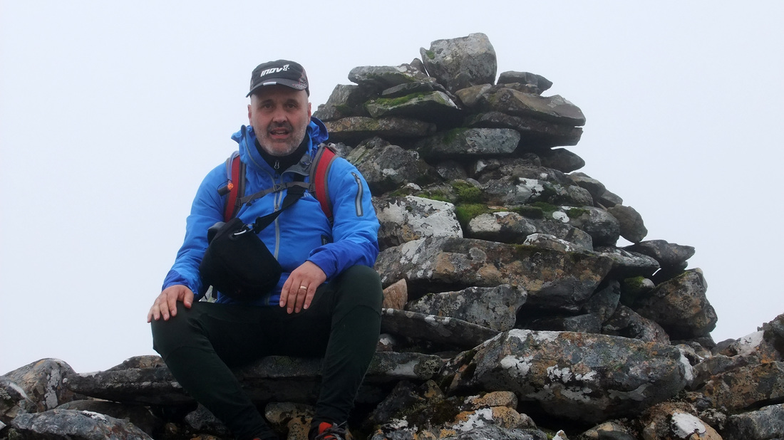
The path then crossed flatter ground until reaching a small cairn marking the path junction. Taking a left hand turn, the path zig-zagged up to join the well defined west ridge of Sgurr na Feartaig. I met a man called Donald who has completed three rounds of the Munros and was approaching completion of the Corbetts. His unbounded enthusiasm for the hills was very evident and we both agreed on how fantastic a hill path it was and on such a fine hill. The ridge broadened and the path followed a route to the north-west of the summit so it was necessary to break away right from the path and head for higher ground until I found the large two-tiered sombrero shaped cairn that marks the summit. (.... or is it the Hogwarts Sorting Hat?)
After a fine tuna pasta salad with red chilli stuffed olives for lunch, I headed north to rejoin the stalker's path. I lost the path for a while. I'm not sure if it became indistinct or I just wasn't looking where I was going but I did pick it up again lower down where it was very clear and remained so until reaching the Allt a'Chonais.
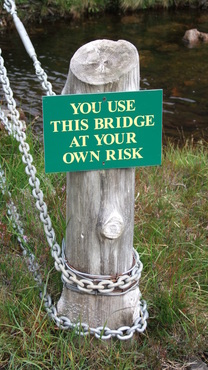
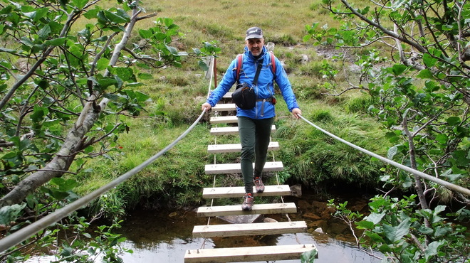
Prior to my ascent of the hill, I had read about the bridge across the river. I have encountered more challenging bridges when climbing Ben Aden in Knoydart and crossing the River Tilt where there was a single cable which I crossed with my heels hooked over the cable and working my way across hand over hand, the cable sagging and my backpack dragging in the river! While, it could be difficult if covered in ice, this seemed like a very robust bridge, with new-looking chains connected to the posts.
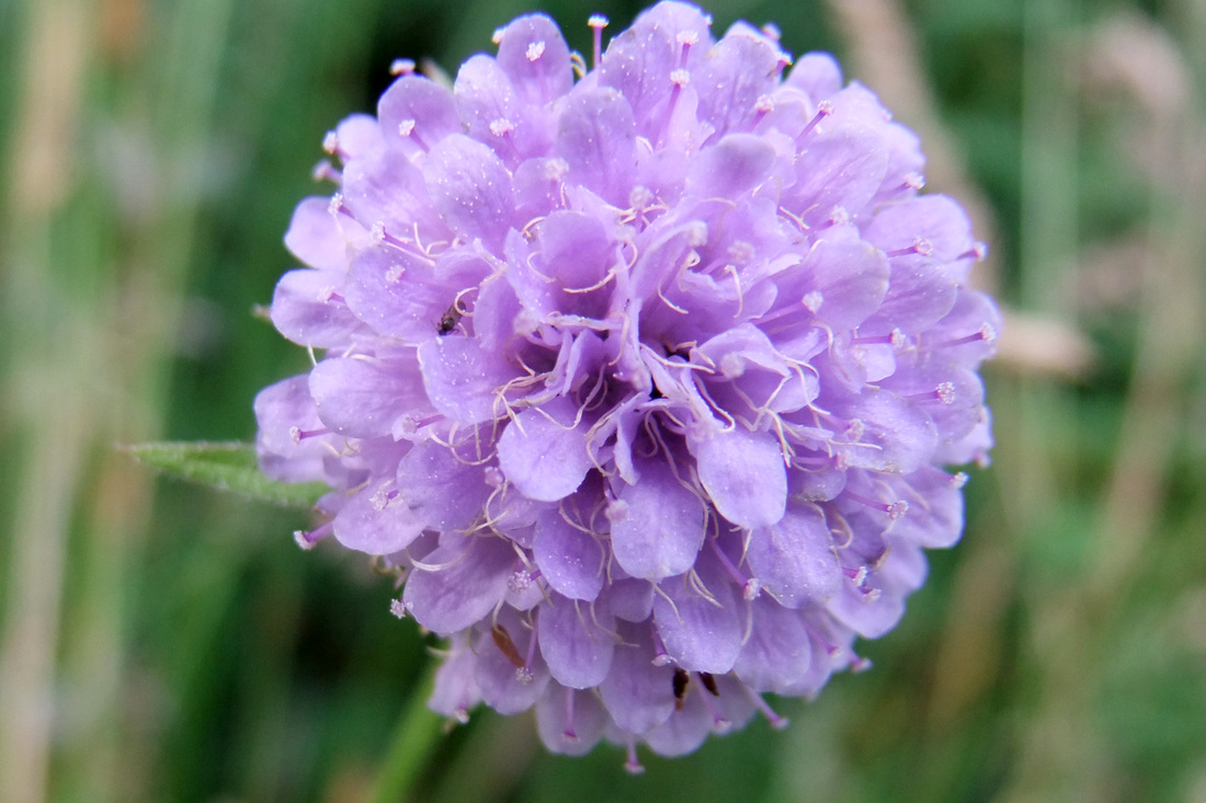
I jogged much of the way back to Craig, but stopped to admire some of the flora. There are still a lot of plants that are in flower. I will try to identify the flower below. It seems very distinctive but I do not know what it is.
The plant has been identified as Devil's-bit Scabious, Succisa pratensis. Thank you, Sarah!
http://www.wildlifetrusts.org/species/devils-bit-scabious
http://www.geograph.org.uk/photo/539082
http://www.botanicalkeys.co.uk/flora/content/species.asp?1139
http://www.wildlifetrusts.org/species/devils-bit-scabious
http://www.geograph.org.uk/photo/539082
http://www.botanicalkeys.co.uk/flora/content/species.asp?1139

