16 December 2020
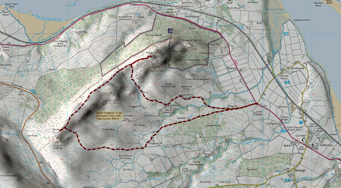
d decided to do this walk just the night before. I had often looked down the Dornoch Firth while crossing the bridge and the mast on top of Struie hill always draws the eye. The start is only nine miles away from my home - I probably should have cycled to the start! I parked just off the A838 and walked up the lane to Rheguile, where a sign shows the way to Struie Hill. There is a three way split in the track and instead of taking the right hand turn to Struie Hill, I continued straight ahead to ascend Struie via Pollagharrie.
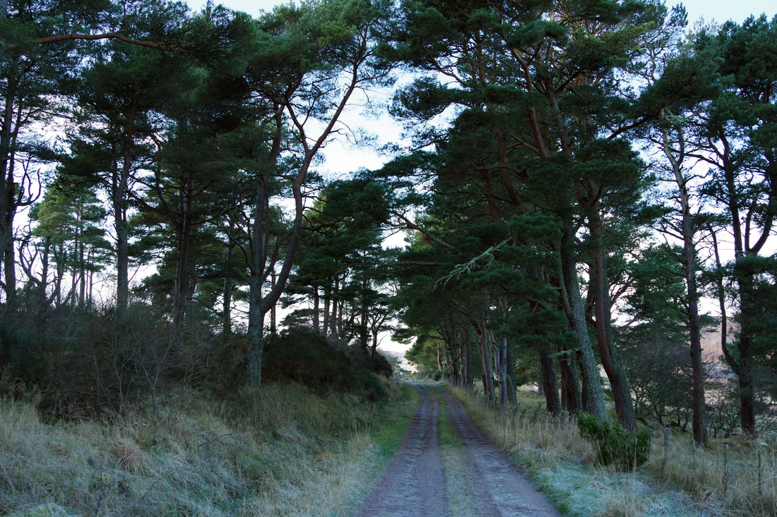
It is pleasant, easy walking through the pines of Garbad Wood.
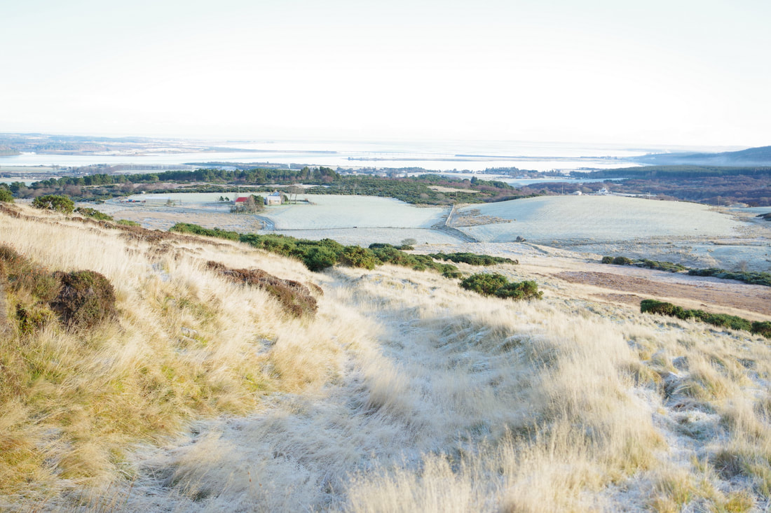
I had left my camera had been left on maximum aperture/slow shutter speed from using it at an ice hockey match. This was fine for photographing the officials between the action, but meant that once out in the sunshine, on a frosty morning, my shots were a little overexposed.
I can't help wonder about what they might be saying and about whom!
I can't help wonder about what they might be saying and about whom!
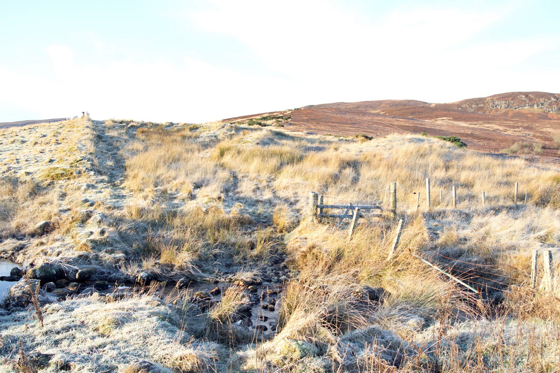
The right hand turn was far from clear, so I continued to the ruins (not named on my maps) and carefully navigated back from there. This detour only added a few hundred metres and meant that I was more confident that I was heading up where the path should be, in the hope that it might be more evident further up. I safely negotiated the icy rocks of the burn, though as I was wearing gaiters, I could have just splashed my way through, which would probably have been the safer option.
I followed a small wall, covered in vegetation and not shown on the map, the path led to a trench which the archaeologist in me took to be an ancient track, as it was wide enough for a horse and cart. At one point, I had to leave the trench to go around some gorse that was blocking the way, as seen here, when looking back down the track.
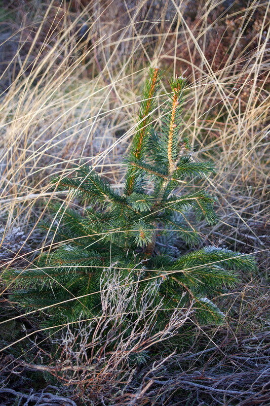
The original plan had been to continue below Creag na Cadhaig and approach the summit from the south-west but I decided that it might save a bit of time and effort if I approachd more directly from the East. On my way up, I passed this lone baby "Christmas tree".
The ground heading up was quite hard going and I am sure that it would be easier to reach this point from the track up to Struie Hill though it would mean doubling back afterwards and I always prefer a circuit. Of course, the quickest ascent if just bagging the sub-2000 is from the B9176 or "The Struie".
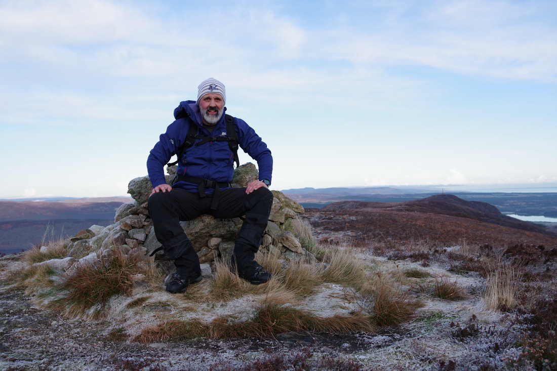
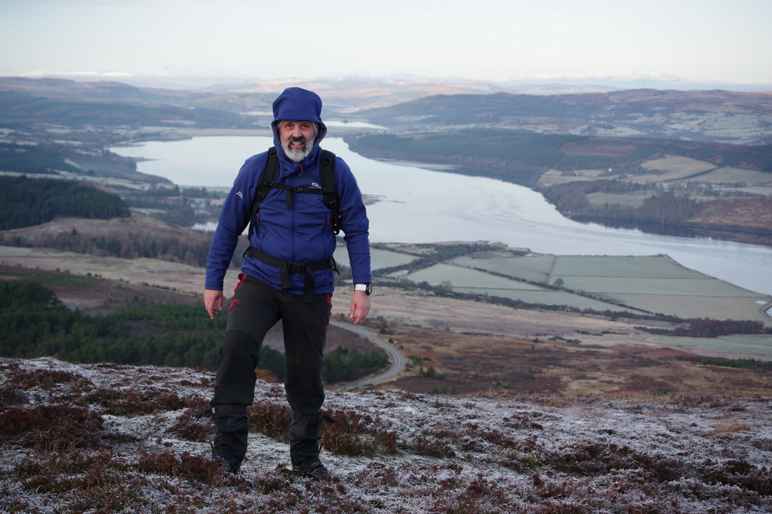
The air had semed still but there was an icy breeze once on the summit. Time to set up my tripod, use the shutter delay on my camera and take some selfies.
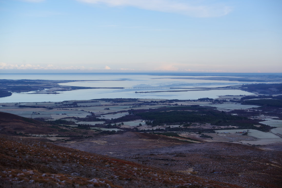
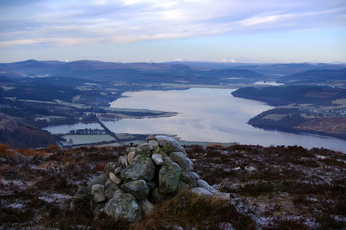
The number of times I have driven across the Dornoch Firth and looked over to this ridge. It was great to finally look back in the opposite direction!
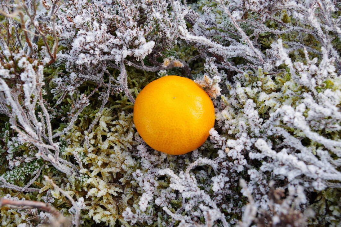
I was surprised to find this very fresh looking satsuma near the summit cairn. I picked it up and took it home. I never got to eat it though as my youngest wanted it.
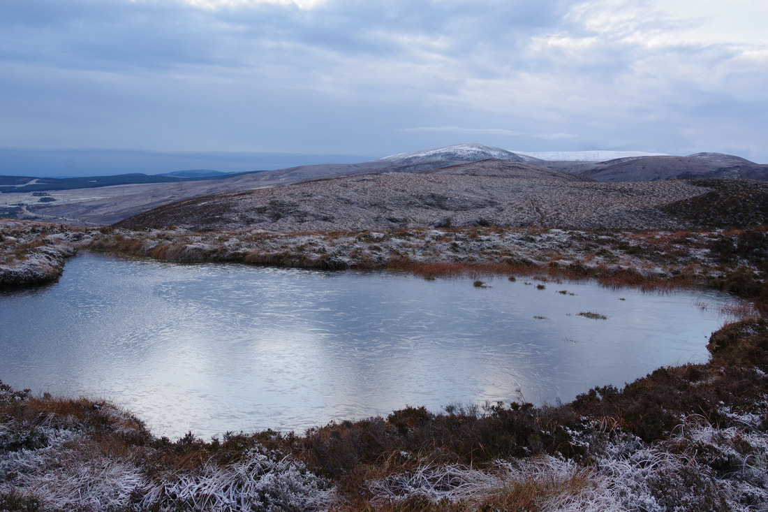
Looking back across an icy lochan towards Struie.
While I had to take a little bit of care where the bath was like a frozen burn, it was generally very easy going all the way to Struie Hill, which was really my main objective as it offers the best views. Ben Horn and Ben Bhraggie looked particularly nice swathed in cloud.
Looking west along the Dornoch Firth, the dome of Canisp looked particularly impressive, though the tip of Suilven could also be seen.
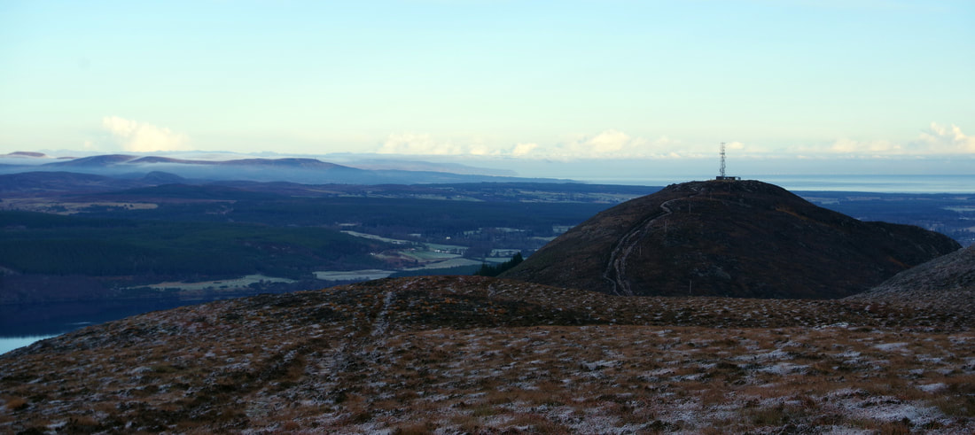
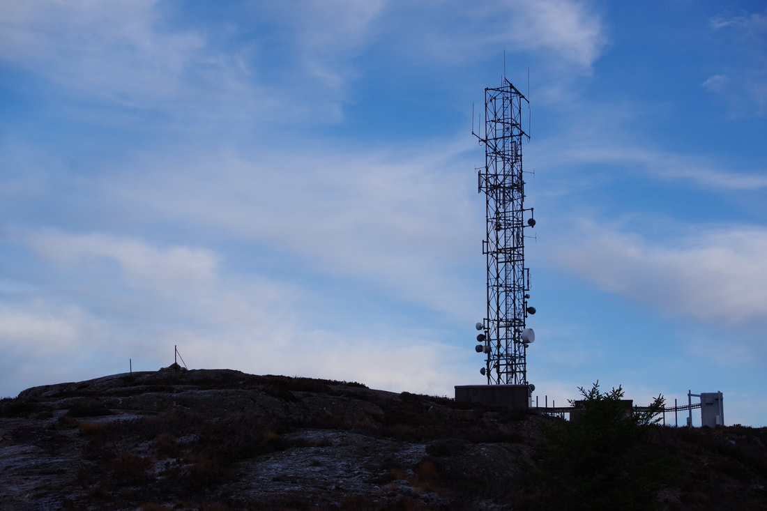
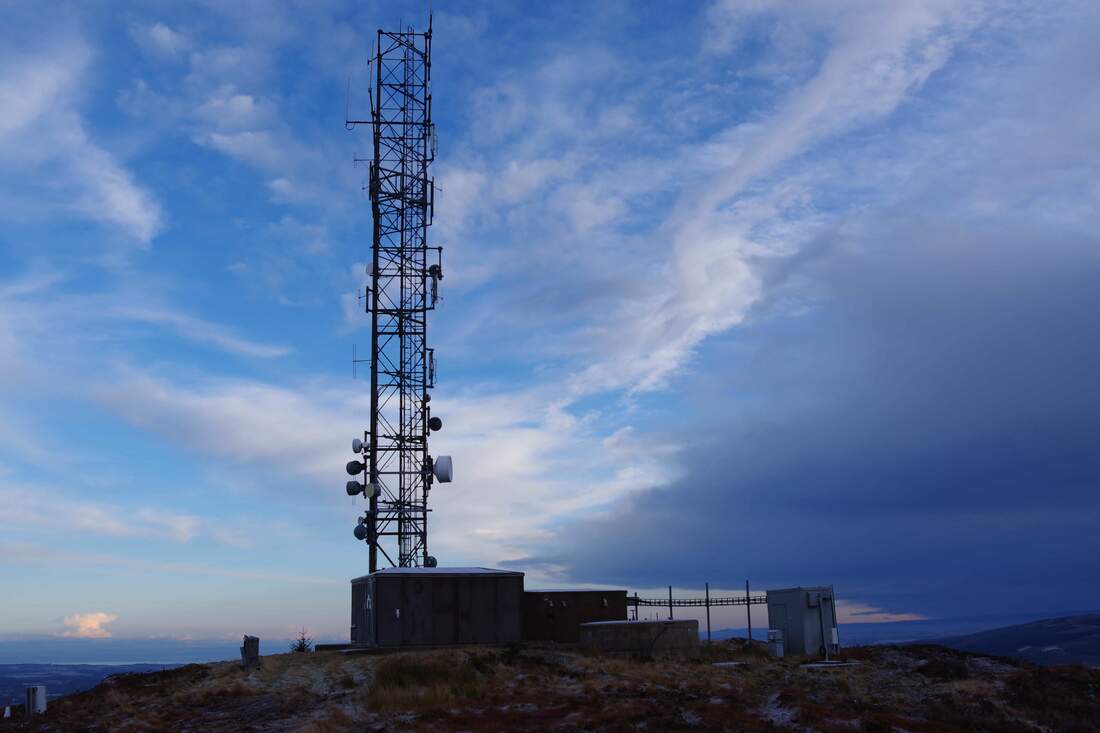
The track up to the mast is ugly. A properly constructed track would actually be better than the split double eroded mess that exists. The top is quite rocky and provides stunning views. I lingered for quite a long time, taking photos and exploring the summit area.
I put my map away, as the ascent was straightforward, easy underfoot and allowed a quick return to the car.
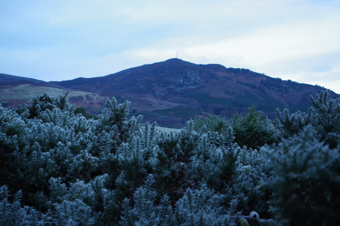
The frost on the gorse gave a wonderful Christmas feeling as I looked back at Struie Hill.
All in all, a very worthwhile short day almost on my doorstep!

