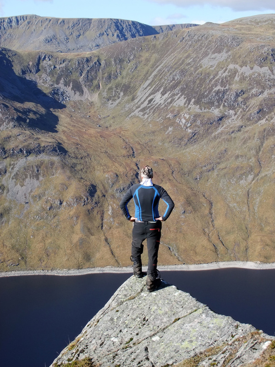
Banner photo: Looking south-west across Loch Ericht from the summit of Stob an Aonaich Mhoir. Loch Laidon and Loch Eigheach also visible. The hills from left to right: Beinn Achaladair, the Black Mount behind Beinn Pharlagain, Bauchaille Etive Mor, Bidian Nam Bian and the much nearer Carn Dearg and Sgor Gaibhre.
Stob an Aonaich Mhoir
MunrosNone
|
CorbettsStob an Aonaich Mhoir
|
GrahamsNone
|
BothiesNone
|
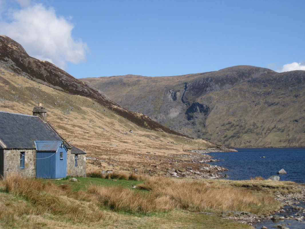
Looking across Loch Ericht to Stob an Aonaich Mhoir from Ben Alder (McCook's) Cottage.
9 October 2016
I got up at daybreak. The previous day, I had seen the sign for the Rannoch Station Tearoom, which said open every day except Fridays from 0800, so I did not bother cooking breakfast but packed everything, including a large rucksack with enough food and coal for three nights, before heading for Rannoch Station. On approaching the platform, I was encouraged to see that there was a light on. I was concerned that the sign may apply to summer times only. As I walked closer I met a woman who told me that they usually do not open until 1000 on a Friday but said that they could do me some food. A pot of tea and a hot breakfast roll left me feeling ready for the day ahead and I drove back to Bridge of Ericht.
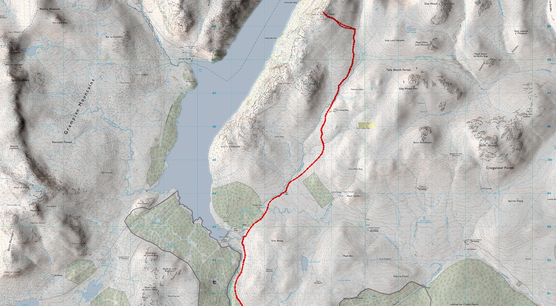
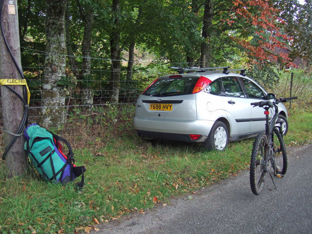
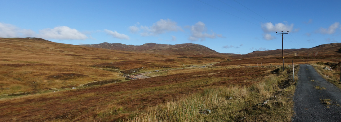
On reaching Bridge of Ericht, I met an estate worker and asked about the best place to park and he suggested on the grass verge. I also discussed my plans and there was no indication that we would get in each other's way. The track is more of a tarmacked road and it is relatively easy cycling, even with a big pack. I abandoned the pack at the junction for the Loch Ericht dam and continued with a day pack that I had packed into the larger rucksack. The summit of Stob an Aonaich Mhoir is behind the hills seen in the centre of the photograph below.
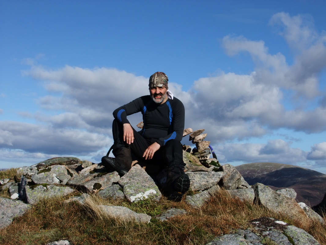
The track takes one up to the 630m contour, with just a 225 metre walk up the grassy eastern slopes of Stob an Aonaich Mhoir, arriving at a fantastic viewpoint above Loch Ericht.
Looking across the Sron Coire na h-lolaire - Beinn Bheoil bealach to Ben Alder.
It was a quick descent down to my bike and an exhilarating ride back to my rucksack. I struggled to lift my rucksack onto my back and continued on my bike to the dam. This is where things got tough!
The map shows a 2.5km path along the south side of the loch but there are the faintest signs of tyre tracks across extremely rough and wet ground. There are bridges across the burns but little else to suggest a path. Early on, I opted to walk along the shoreline instead and I was not the first to do so as the footprints and tyre tracks showed. However, it was very soft in places and I eventually returned to the "path". I eventually reached a posh bothy/garage, feeling exhausted. I was glad that I would not be returning by the same route but by a good track to Rannoch Lodge.
I rested on the verandah of the bothy and surveyed the next day's hills - Beinn Bheoil and Ben Alder, as well as Stob an Aonaich Mhoir seen to the right of the Loch. I decided that this could make a good breakfast stop on my way back out from Benalder Cottage.
The next section went along a good track but this eventually ended leaving a boggy path the rest of the way to Benalder Cottage. I probably should have left the bike at the end of the track but I chose to push it the rest of the way. At one point there was a boggy section. I was too cream crackered to find a way round it so I stepped across, hoping it would hold my weight, which sadly, it didn't! It took considerable effort to remove my feet from the bog and my boots and gaiters were left covered in smelly black stuff!
When I reached the bothy, there was a large DofE gold award group with their two assessors. I cleaned my gaiters and boots in the burn, as well as the knees of my trousers, which dried surprisingly fast!
I cooked a meal and started a fire. I am not sure which warmed up the bothy the most, the fire or the group of youngsters that came in to share it for a while! They were a very modest and polite group of youths and it was a pleasure to share the fire with them for awhile.

