MunrosSgurr a' Choire Ghlais
Carn nan Gobhar Sgurr na Ruaidhe |
CorbettsNone
|
GrahamsHad originally planned to include Carn na Coinnich before heading out from the bothy but quite strong winds early in the morning and tiredness from the north Strathfarrar ridge changed my mind - It gives me an excuse to return to Luibmaldruig!
|
BothiesLuibmaldruig
Luipmaldrig on OS maps Non-MBA |
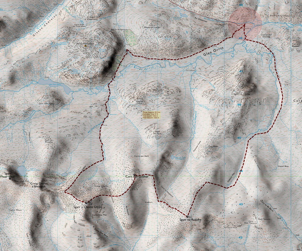
Distance/Ascent23km 1322m
|
Estimated Time9h 30mins
Less in dry conditions and if following the ridge from Sgurr na Ruaidhe to Sgurr na Cairbe, thus avoiding difficult terrain with obstacles in Coire Chairbe. |
Walk from Inverchoran to Luibmalruig 6km 316m ascent/189m descent. Approximately 2 hours with a big pack and lugging coal.
|
27-29 December 2018
The last time I was at Inverchoran was to do Bac an Eich. With Corbetts to bag, this adventure was not high on my list of priorities but with three days available and its proximity to home, not to mention an interesting looking bothy, I set my sights on Luibmaldruig and the north Strathfarrar ridge.
I had coal in the car, but four months without any hills, I did not feel fit and strong enough to carry an extra 10kg of coal up 1000ft over the pass to Glen Orrin. Perhaps I should have split the bag and taken half of it? My original plan was to return for coal and logs but out, back and out again would have made a full walking day! I had been informed that there is usually peat in the attached stables.
I had coal in the car, but four months without any hills, I did not feel fit and strong enough to carry an extra 10kg of coal up 1000ft over the pass to Glen Orrin. Perhaps I should have split the bag and taken half of it? My original plan was to return for coal and logs but out, back and out again would have made a full walking day! I had been informed that there is usually peat in the attached stables.
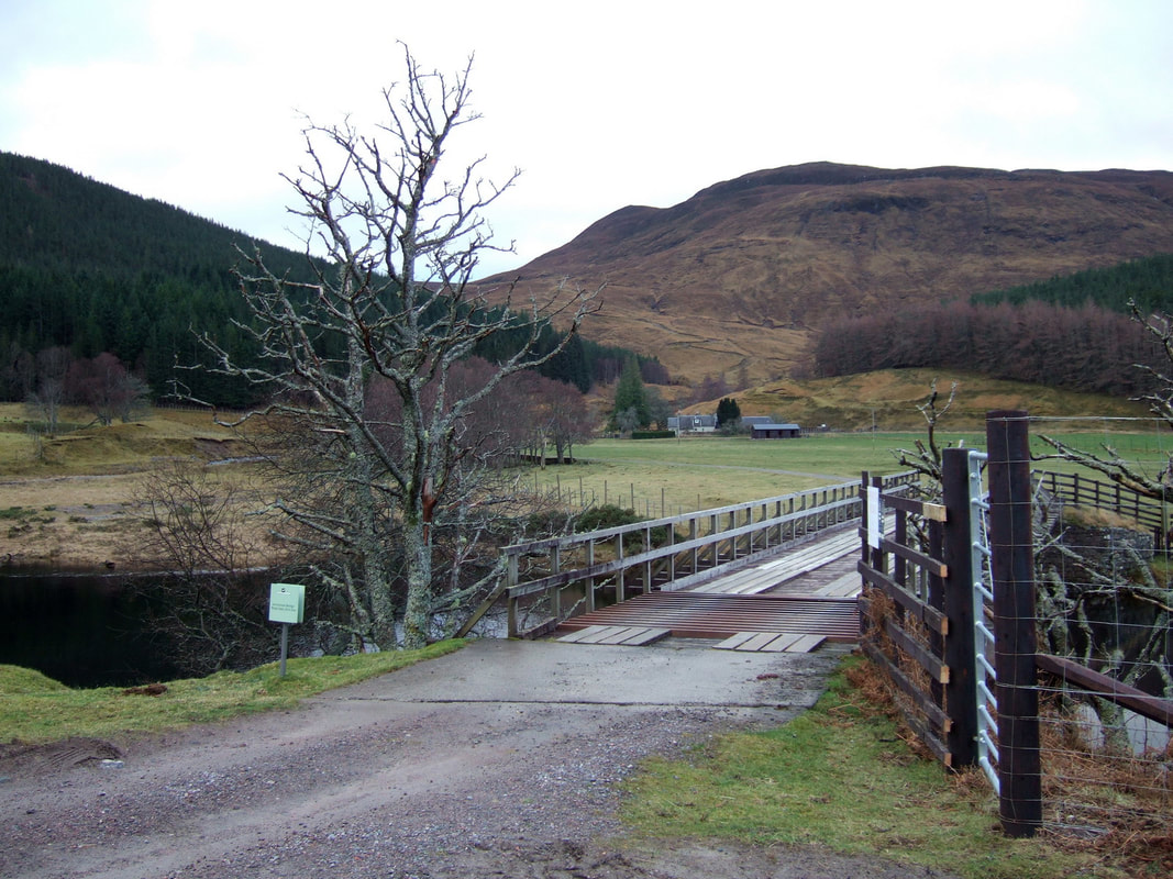
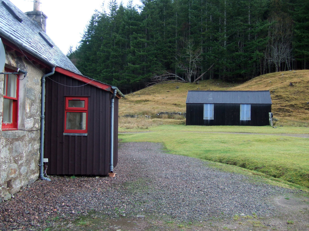
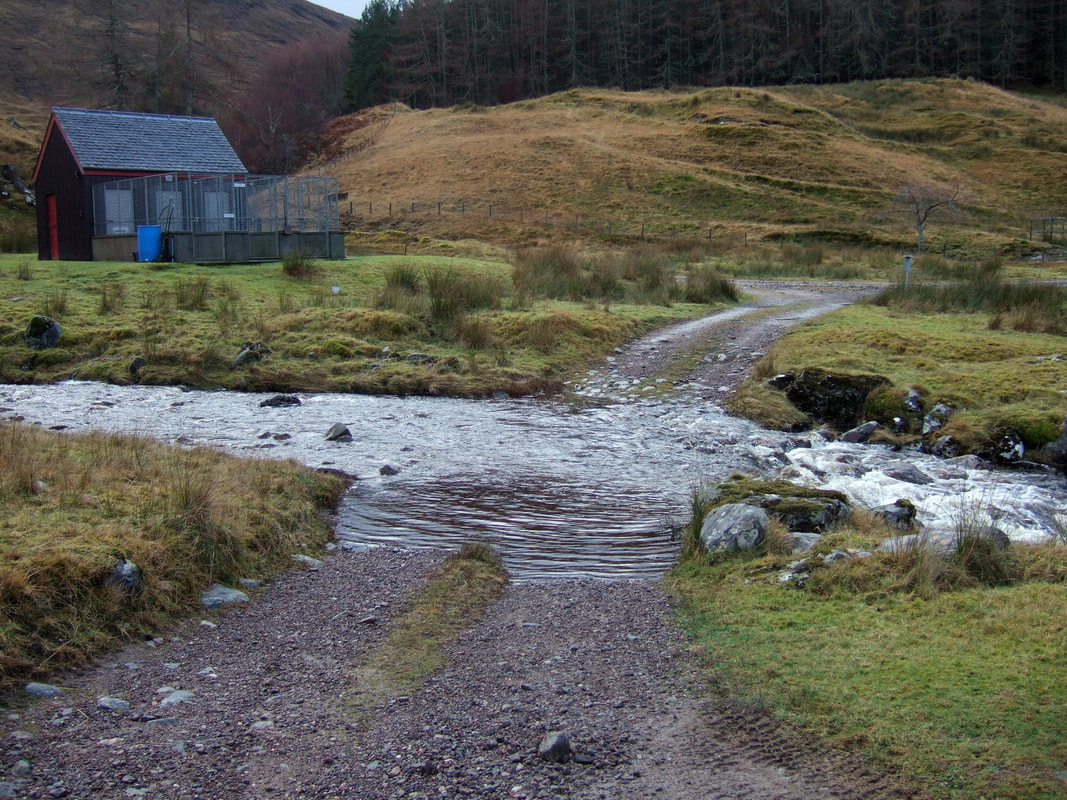
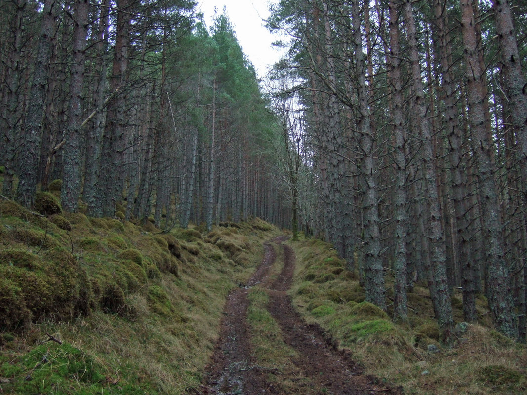
Having crossed one bridge and heading left at Inverchoran House (No Entry signs), to cross a second bridge, I then forded the burn as I had for Bac an Eich. As soon as I had crossed, I checked my map and although not totally clear on the map, thought the route most probably went round the back of the black outbuilding. I was not entirely sure about this as it seemed to be going in the wrong direction but after a short way, there was a sharp right hand turning up through the forest.
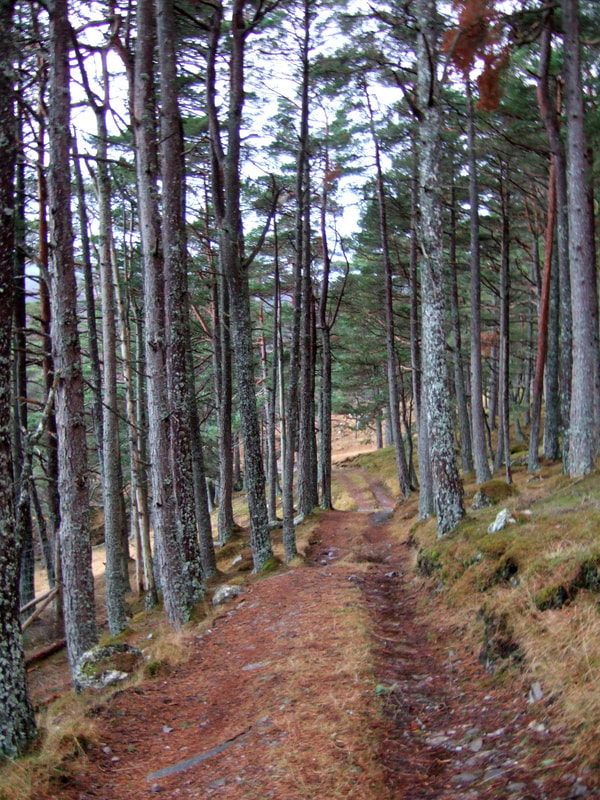
It was quite a steep climb up through the trees, especially with a big pack. Often, I use a bike when visiting bothies, so cycling back for fuel is relatively easy, but the route to Luibmaldruig is much more of a hike than the approach to many bothies, certainly not easily done on a mountain bike.
A short way beyond the forest, there is a choice between a narrow path or what can be loosely described as a track. I stuck to the stoney path which seemed less squelchy than the track. It was certainly a pleasant walk, especially as I headed down to Glen Orrin.
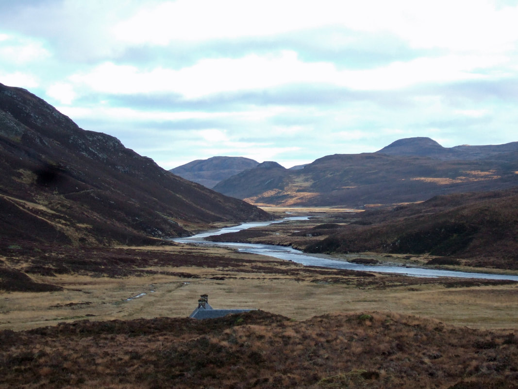
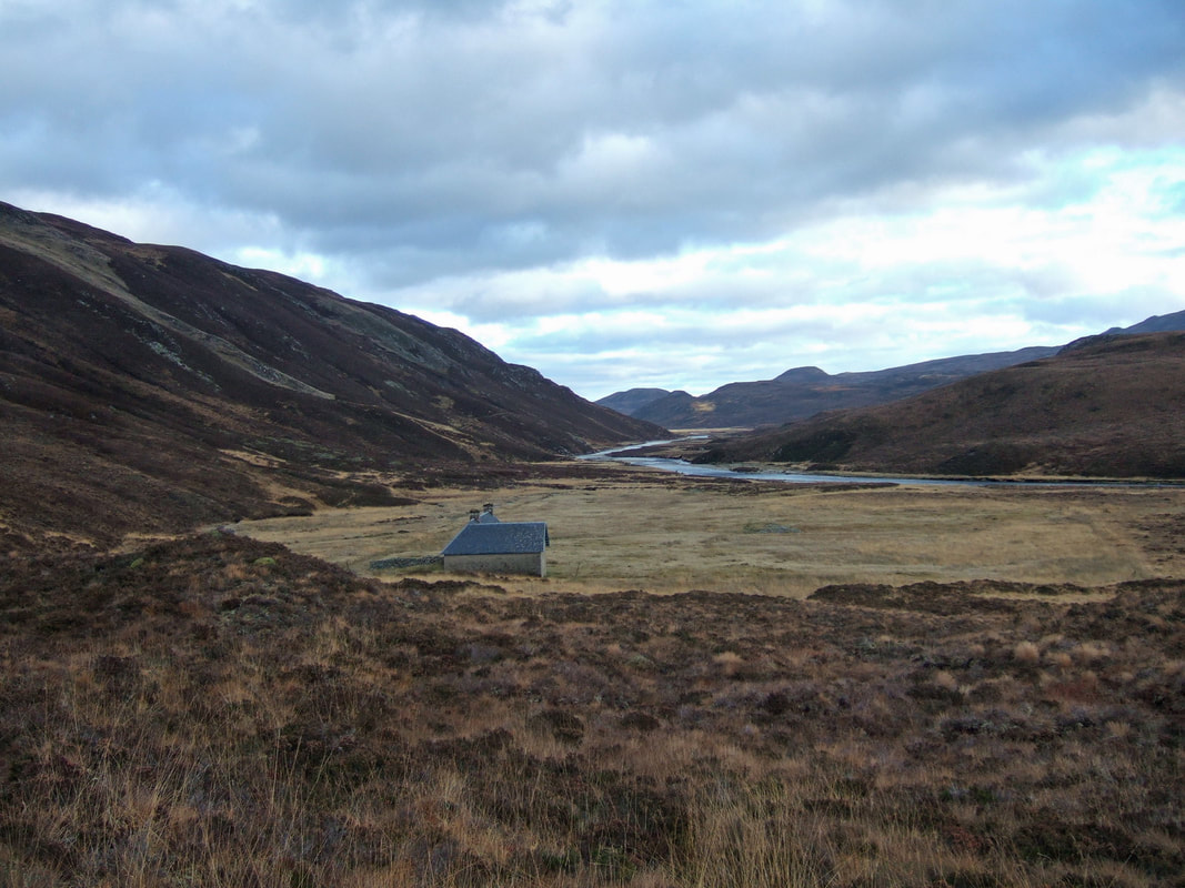
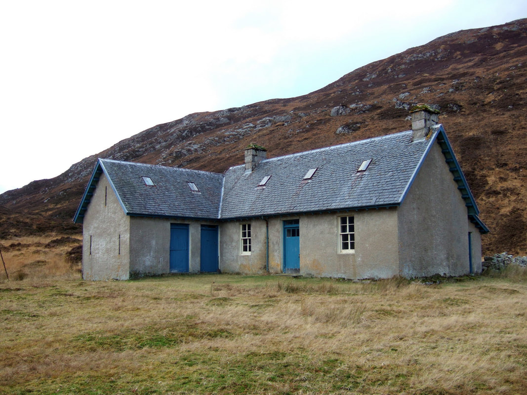
The bothy was not spotted until very late, the roof and chimneys not visible until almost there. There was a great feeling of remoteness and isolation, considering I was less than two hours from the car.
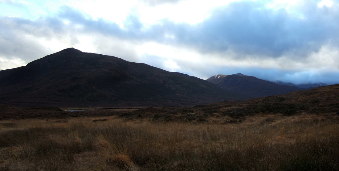
Before entering the bothy, I looked up the glen towards the next day's objectives. Carn an Gobhar could be seen but there was a fair amount of cloud onSgurr a' Choire Ghlaise which is 91m higher. At this stage, these two Munros were my only targets for the next day.
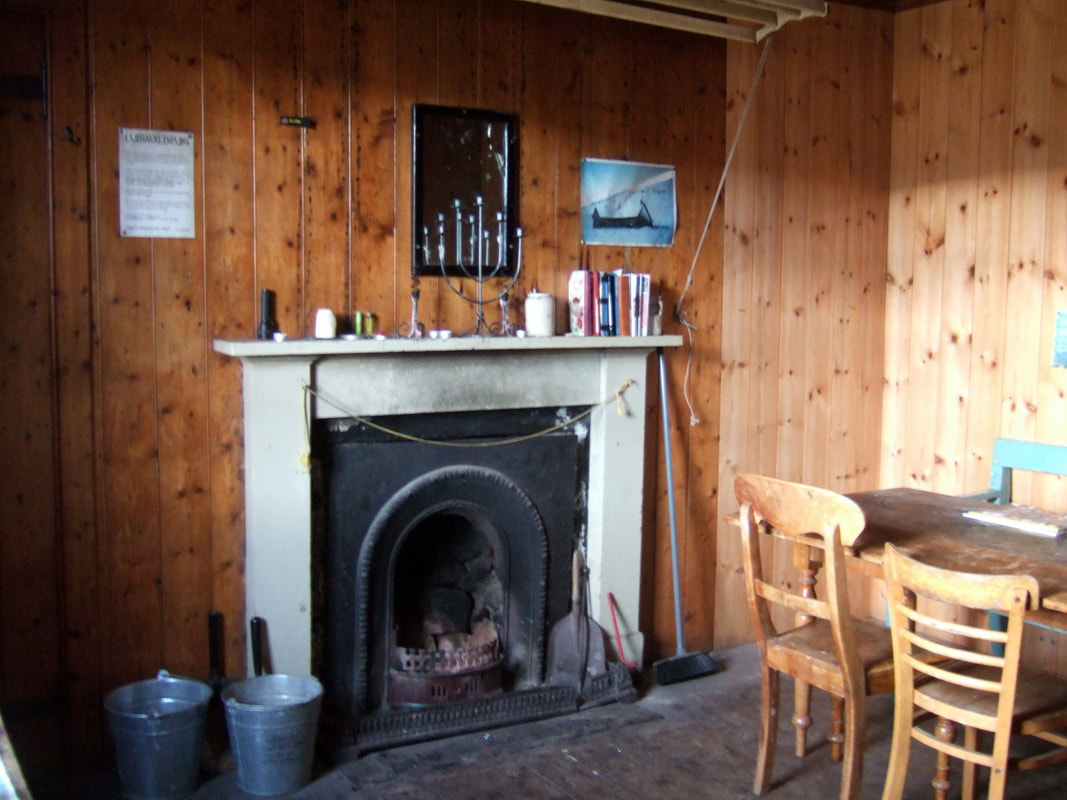
Luibmaldruig is certainly a fine bothy, with two rooms downstairs and another two upstairs. The two doors on the left give access to a storeroom and stables with stalls. I found the peat store but there were only two pieces left! Still I was warm and dry and there was no way I was walking another 12km with 505m of ascent to collect the coal from my car!
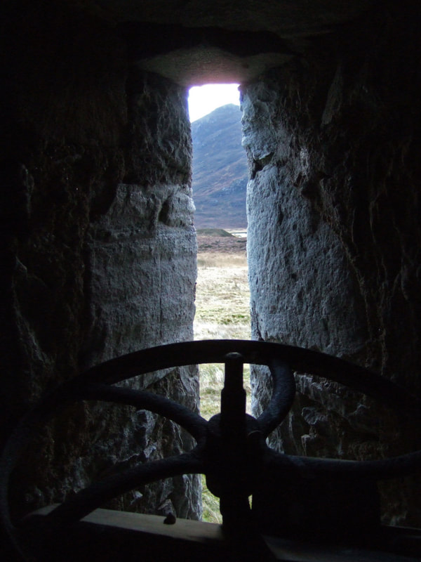
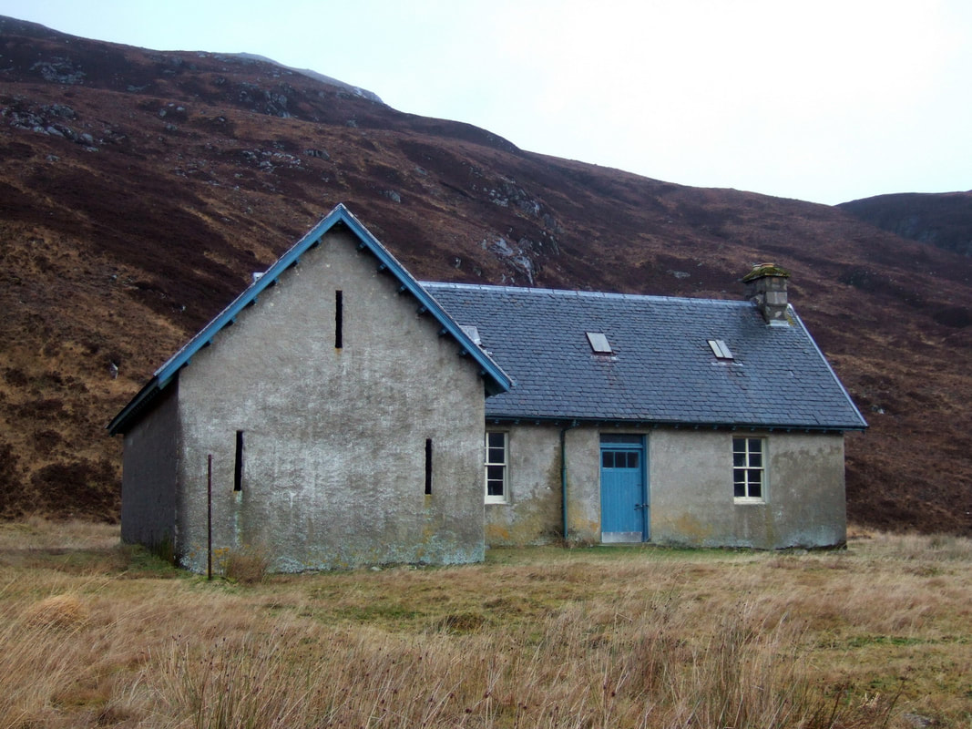
Luibmaldruig is a particularly distinctive castle-like slits for firing arrows through, perhaps at passing deer? I collected the two pieces of peat and a small piece of rotting wood from the floor of the barn and added it to the firelogs that I had carried in.
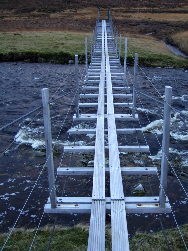
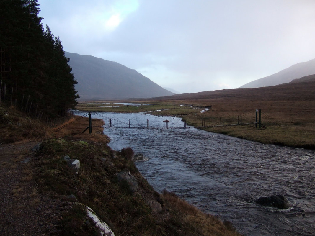
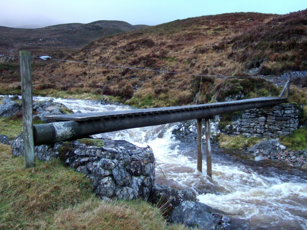
My research suggested that there was a bridge nearby, but it is not shown on the map, so I went of exploring while there was still some daylight. As it turns out, I should have explored a little further to find the bridge across the Allt Coire Chairbe. The bridge certainly opened up the possibility of returning directly to the bothy rather than returning via the bridge at Ghlastail Wood.
This was a day when I was to set off in the dark and arrive back in the dark. The path from the bothy up Glen Orrin was easy enough to follow, albeit very wet underfoot. I kept my torch on a low setting so that my eyes were relatively well adjusted to the wider surroundings. I believe using a red beam can help further here. Eventually the path came to a gate, one of those sloping, self-closing gates. There should be a path off to the left to save 80 metres of ascent, but I followed the track towards the unattractively named Bog an Aithgeiorra, turning left to cross a bridge and descending down through the very pleasant Ghlastail Wood.
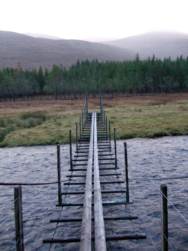
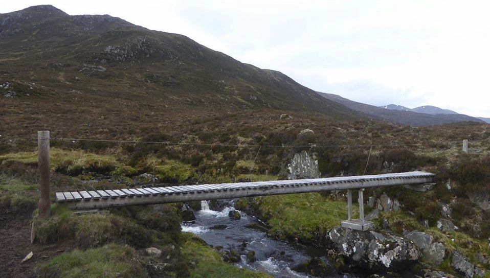
I nearly walked past the bridge as it is hidden behind the trees, but not seeing it ahead, I looked over my shoulder to find it.
It was nearly identical as the bridge near Luibmaldruig.
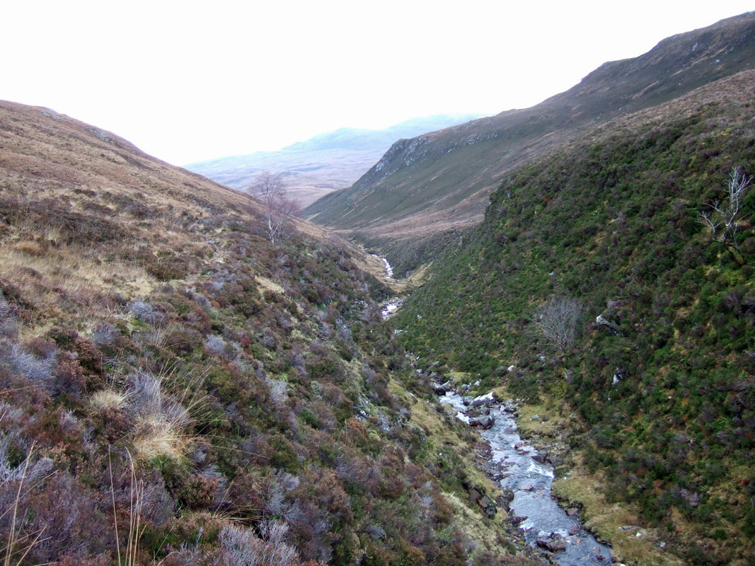
A small path leads to a second bridge across the Allt Coire na Sgùille. The path then leads to a track up into the coire above. I assume that the track led down to a ford across the River Orrin though it is quite a large river to ford.
Despite the bridge lower down, there was still some fording to do, here looking back across the ford.
Four months without any hills and no cycling since the temperatures dropped in Astana, I was not feeling very fit. My quadriceps hurt and I breathed heavily as I made my way up the coire and headed right to join the ridge between Creag Ghorm a' Bhealaich and Sgurr a' Choire Ghlais. Joining the path along the ridge the going became easier, if only psychologically. The weather was slowly improving and my spirits were high.
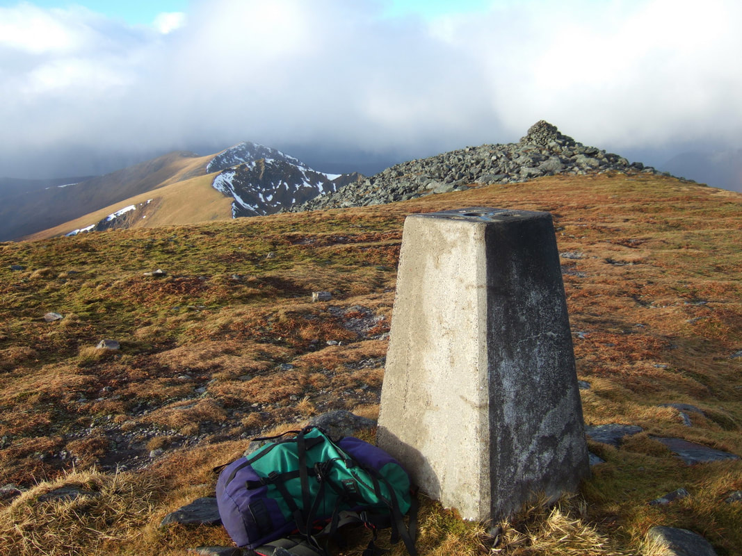
Here, I placed my Gorillapod on the trig point for this time delay selfie. The summit of Sgurr a' Choire Ghlais has two large cairns and a trig point. Hill-bagging.co.uk makes the following observation: "trig point 60m E at NH 25884 43005 is as high; cairn 80m SSE at NH 25883 42975 is lower". To me, the large cairn at the NW end of the summit area seems to be the highest point. The last time I did these hills was 29 July 1994. The notes in my old guide to the Munros just says "Solo - An excellent day". I must have half ran and half walked them back then, wearing fell shoes and carrying a KIMM sack.
I bought my Berghaus rucksack for an alpine trip in 1989. It is coming up to 30 years old and still giving good service. I heard some popping sounds on my way into the bothy, leading me to believe that the stitching could be beginning to break, but on close inspection, everything seems fine!
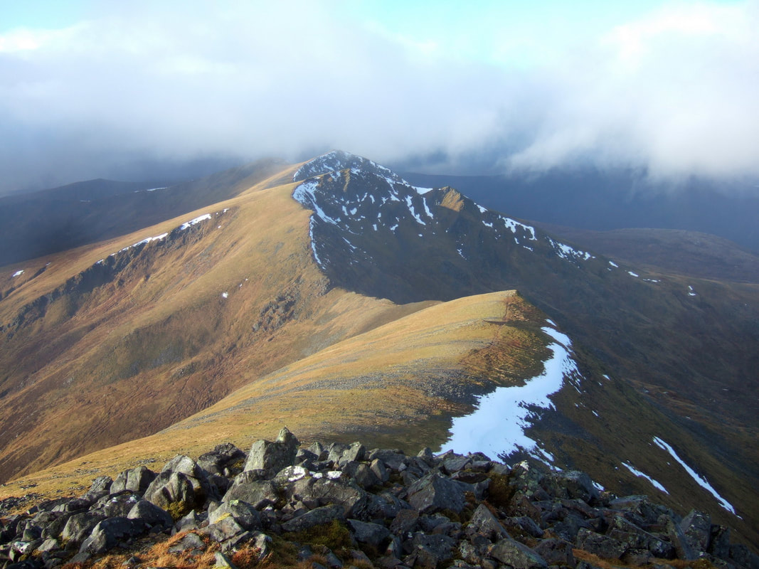
On close inspection, this Photoshop photomerge is not quite perfect as there is a break in the hillside above the snow patch. Shame as it turned into quite a nice panorama otherwise.
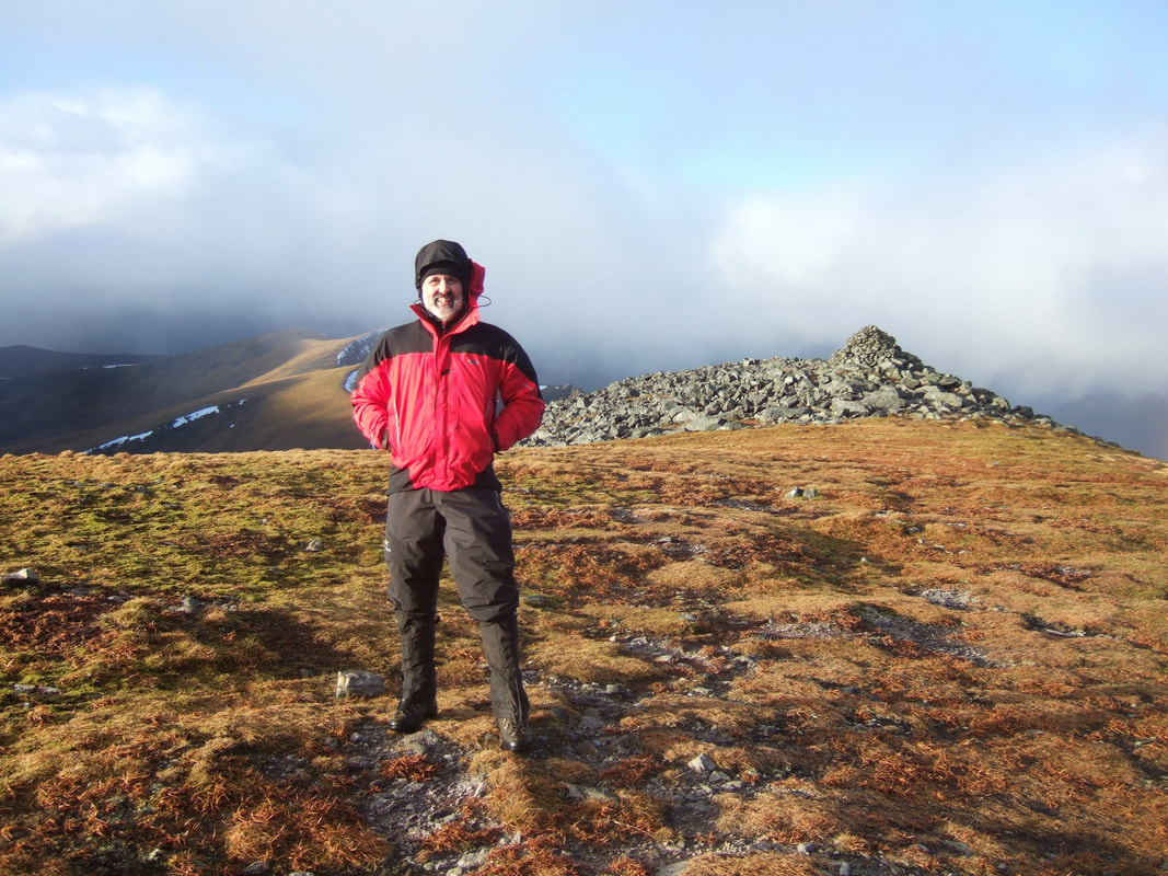
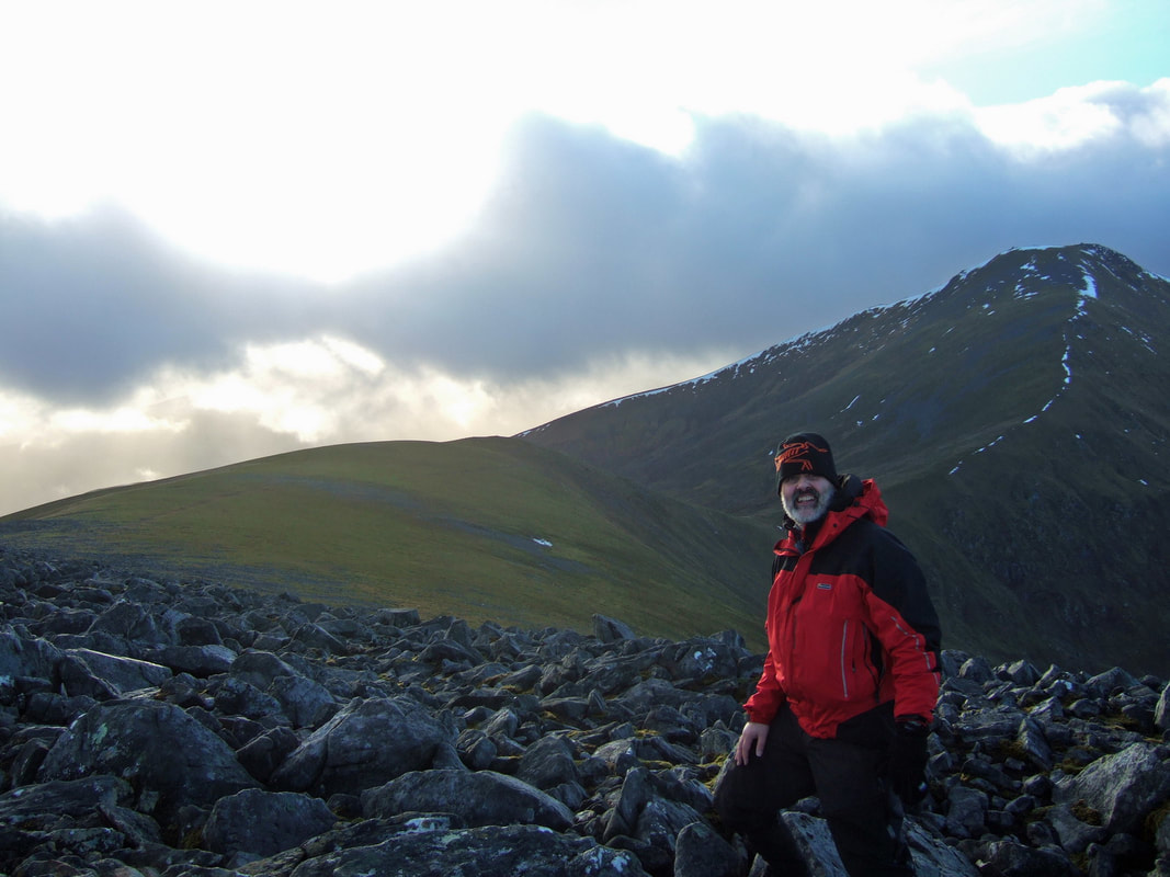
I've been told that I look like Santa in this red jacket!
On reaching Carn nan Gobhar, I had a decision to make:
Option 1: Head back down to the path and then track in Coire na Sgùille and return to Luibmaldruig the same way as my outward journey.
Option 2: Pop down to Bealach nam Boitaichean and contour round Sgurr na Ruaidhe to Sgurr na Cairbe to cross the bridge near Luibmaldruig.
Option 3: AS the weather was improving as the day went on, continue up Sgurr na Ruaidhe for a third Munro before heading down its NE ridge to Glastail Mòr and on to the bridge near Luibmaldruig.
|
Eventually, I went for option 3. However, this did mean descending the coire in fading light. For parts, there was a faint path, but the terrain became harder lower down and it was not just because I was walking by torchlight. I had to negotiate a very deep chanel. I could step across to a small pillar of peat but while trying to lift myself up onto the far bank, my left foot slipped and I went in up to the top of my leg. Thankfully, I did not go completely in and was able to haul myself up the far bank on my second attempt.
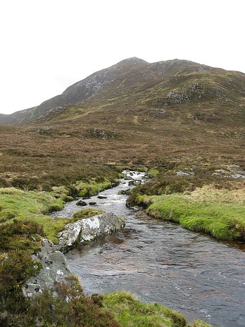
If I had done my homework in advance using Geograph.org.uk, I would have known about the bridge shown in the photograph on the right (Photo Richard Webb). Then I would have kept to higher ground and come down over Sgurr na Cairbe or perhaps better, start up Sgurr na Cairbe and do the route clockwise! |
I was a little worried about finding the bridge. I met the River Orrin slightly upstream of the bridge and initially walked upstream to the Allt Coire Chairbe before doubling back and walking downstream to find the bridge. The next task was to find the bothy in the dark! I was thinking that painting a white circle or a bike reflector on the outside of bothies could be useful sometimes.
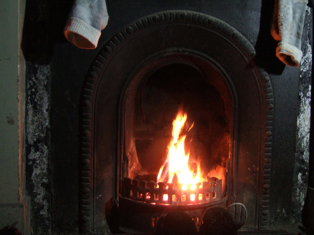
Needles to say, I found it. My first task was to make a large pot of Maltesers Hot Chocolate - I had become quite dehydrated and could not face food until I had rehydrated. With the fuel I had carried in combined with the bit of peat from the store, I was able to have a decent fire for about three hours - plenty for while I ate my meal and rested before bed.
Needles to say, I found it. My first task was to make a large pot of Maltesers Hot Chocolate - I had become quite dehydrated and could not face food until I had rehydrated. With the fuel I had carried in combined with the bit of peat from the store, I was able to have a decent fire for about three hours - plenty for while I ate my meal and rested before bed.
When I woke up in the morning - it sounded like a gale outside and periodic showers lashed on the skylights. Really, the previous evening, I had decided to give Carn na Coinnich a miss so I stayed in my sleeping bag till around 0800. I new that my boots were wet and heavy. I also knew that I had a bit of a hike back to the car. My plan had changed to an All Day Breakfast in the Tescos in Dingwall and arriving home before nightfall.
I took a prolonged look back at the bothy before leaving, not sure if I will ever return. A fine bothy in a great location but there are other places to explore. Returning to do Carn na Coinnich is a possibility, but this can be done via good tracks from the road in Strathconan.
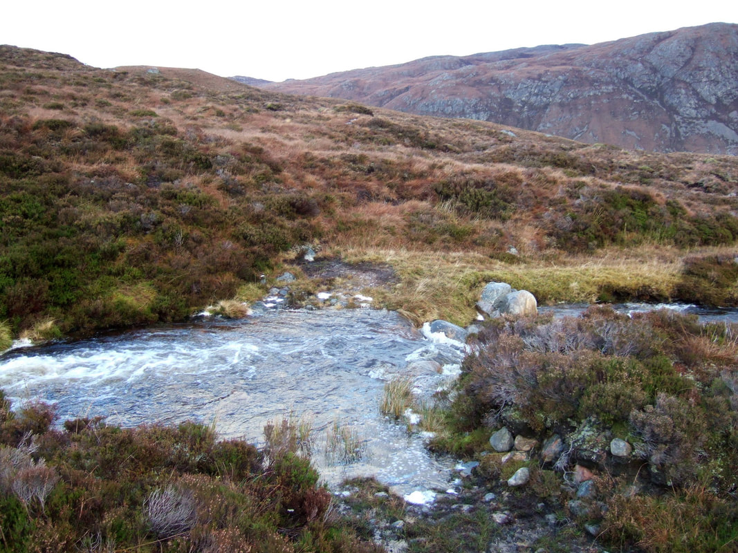
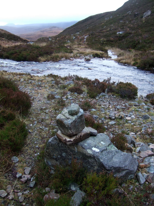
I had forgot about the ford across the Allt Gleannan Mill-Luirge, just about a kilometre from the bothy. A small cairn marks the crossing point. This photograph was taken after crossing, looking back towards Glen Orrin.
I had forgot about the ford across the Allt Gleannan Mill-Luirge, just about a kilometre from the bothy. A small cairn marks the crossing point. This photograph was taken after crossing, looking back towards Glen Orrin.
On arrival back at the car, there was a party of four donning their boots, ready for the off. Talking to them revealed that they were themselves off to Luibmaldruig. I told them about the situation regarding the peat and one of them asked to buy the coal off me. I let him have it for free. I'd like to think that if I was to return, I would go as part of a small group. Always nice to have some company; even nicer to have companions who will share the weight of the coal and logs!

