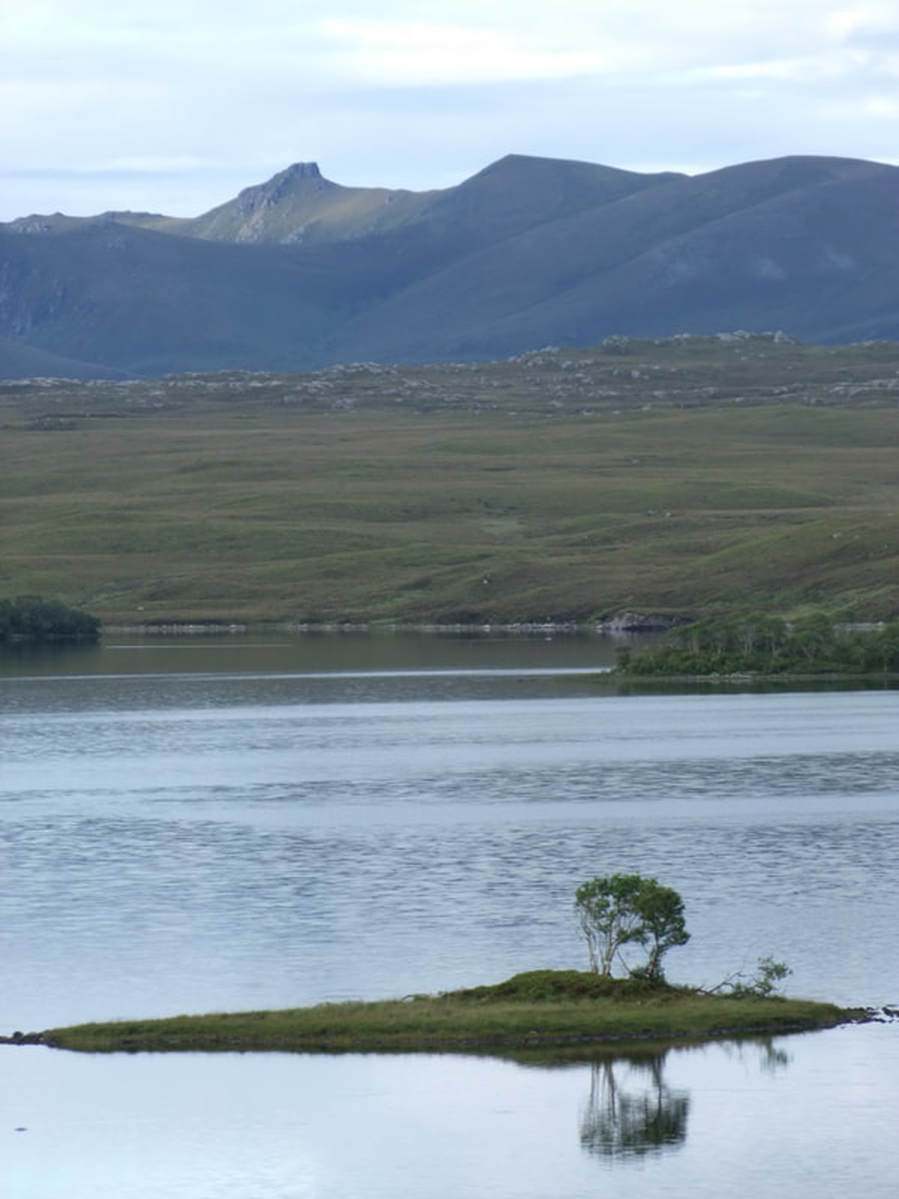
Banner photo: Ben Klibreck from Lurg an t-Sabhail
This page covers two walks with a common start and done over the same weekend.
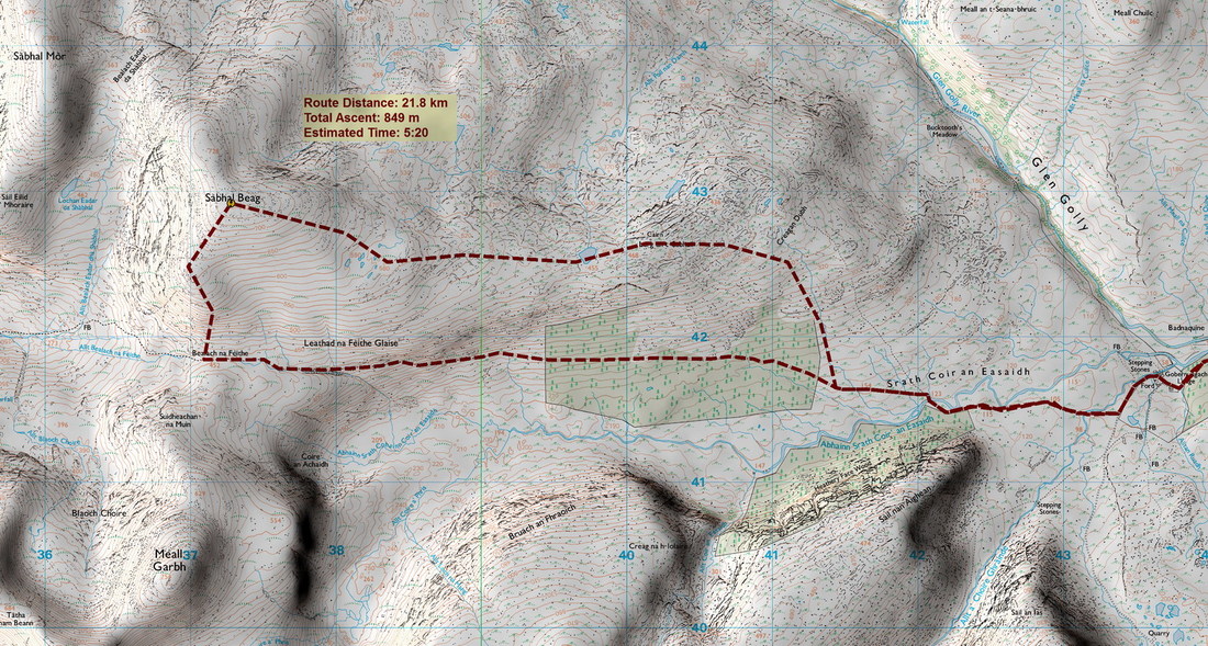
Sabhal Beag
29 July 2017
|
I have a rather solitary approach to the hills. I have fixed ideas about what I want to do and even when meeting up with a large group such as a Walkhighlands meet, I still often find myself heading out on the hill on my own!
Of course, if does give me great flexibility, so I was able to stop off to check out Moine House, built as a half-way stop on the old road in 1830. The house is derelict and roofless. On entering, I was surprised to find rather detailed murals. For more information on the history of the building, go to Moine House. |
|
|
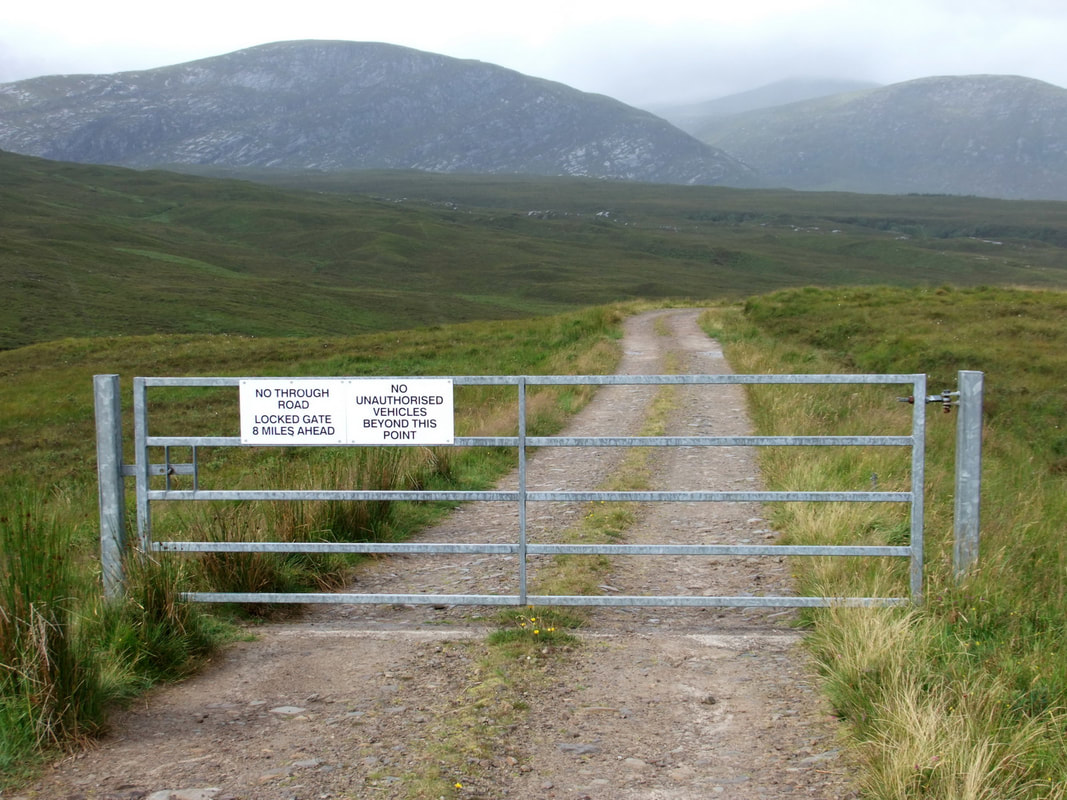
On reaching the approach track, I had to find somewhere to park. I headed down the track towards Gobernuisgach, reaching a gate after a short distance. The sign said NO UNAUTHORISED VEHICLES BEYOND THIS POINT. However there was no turning space and I did not fancy reversing all the way back up to the road, so I went through. Initially, I contemplated parking next to a large shed where there was plenty of room, but I was concerned that someone may come along and place a large padlock on the gate so I returned back to the start of the track.
|
|
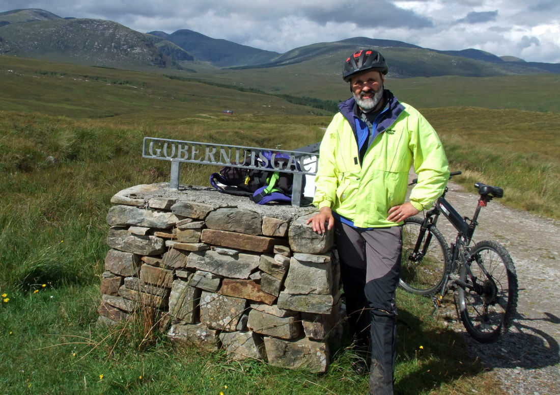
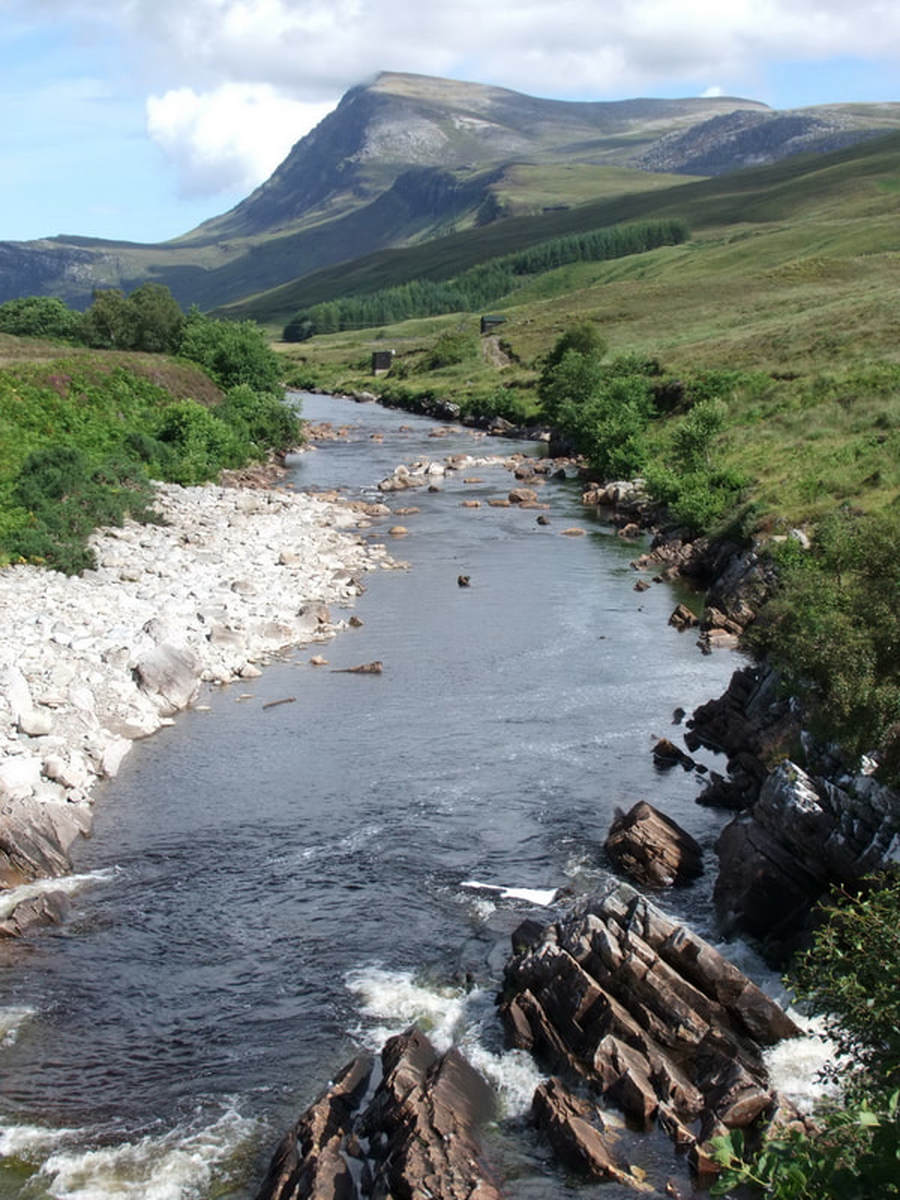
It was a pleasant bike ride to the buildings at Gobernuisgach. I continued on the bike for several hundred metres more, taking a right hand turn, continuing for about a mile where there is a bridge across the Abhainn Strath Coire an Easaidh. I had forgot my bike lock and though I am sure that my bike would be safe in such a little frequented place, I hid it under the bridge.
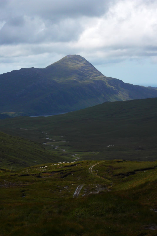
The track continues into a patch of woodland before turning into a good path up to the Bealach na Feithe. I have been to this point before, but from the Loch Stack side before heading up to Meallan Liath Coire Mhich Dhughaill - way back in 2000, limping up with a sprained ankle from a week earlier. Reaching the bealach opened up new views, including a particularly fine view of Ben Stack, which I climbed even longer ago, back in 1990! |
|
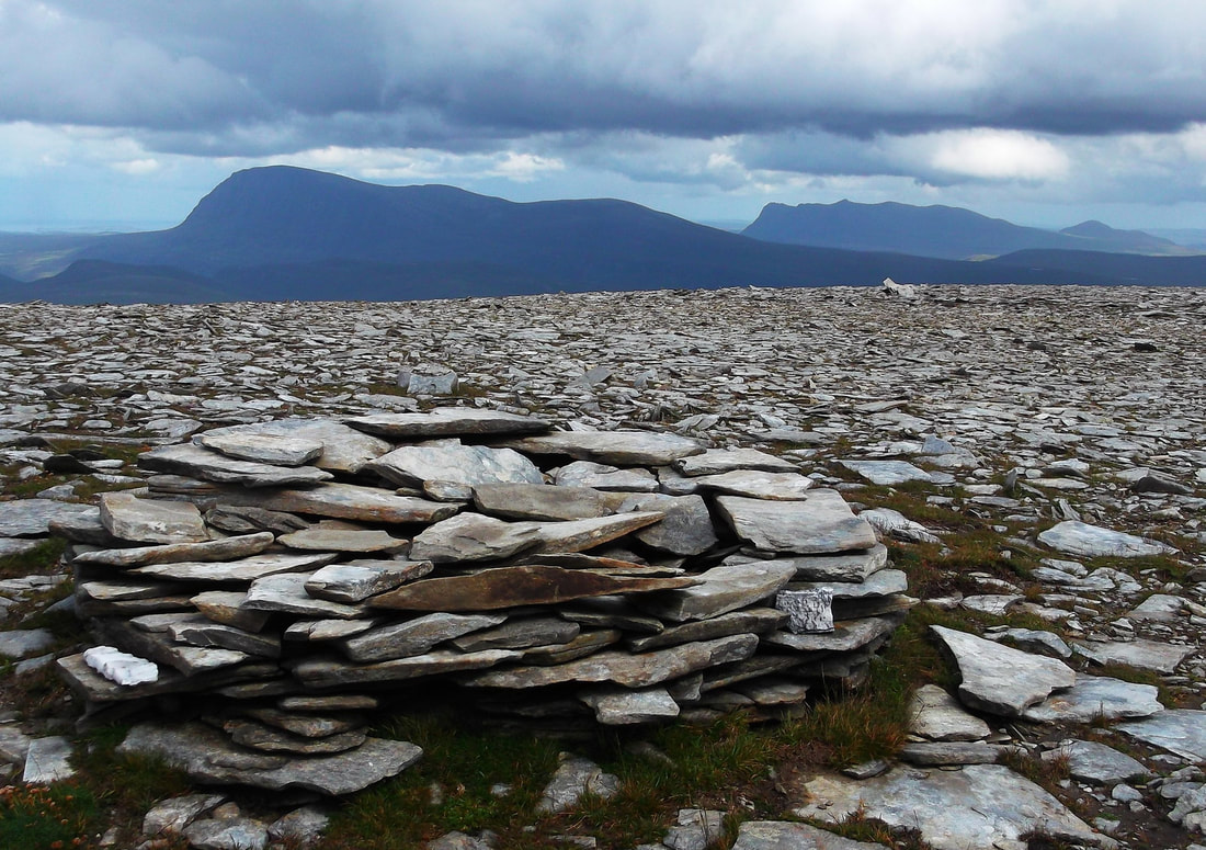
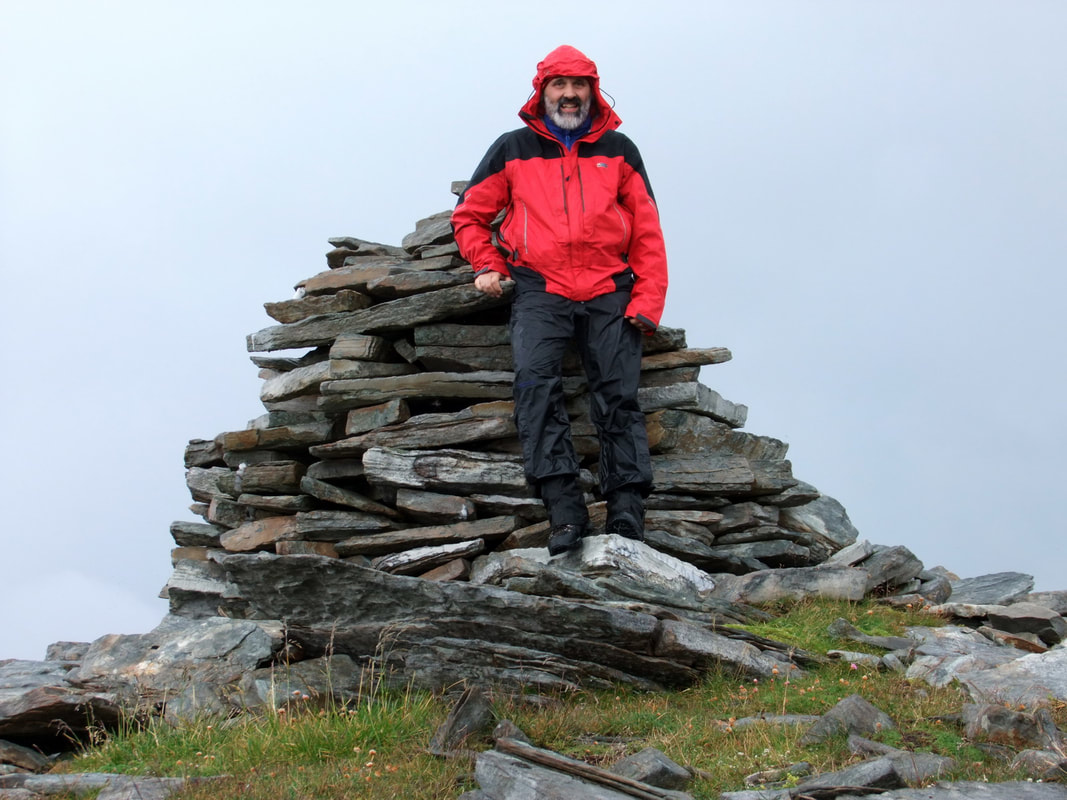
It was steep and pathless up to Sabhal Beag. This was only my second day on the hill since mid may due to work, injury, illness and family commitments, so I periodically had to stop to regain my breath. There is a large but squat cairn in the summit area. The SMC guide states that a "small cairn tops the broad flat summit - perhaps they are referring to the small one seen over toward Ben Loyal in the photograph. It is hard to determine the highest point and also the middle of a plateau is not the best point to take photographs so I wandered northwest wards "just in case" and also to get a better shot of Cranstackie and Ben Spionnaidh, two more hills done with a sprained ankle back in 2000. I remember carrying a big pack as I was heading for Strathan for the night and I remember my foot rocking on unstable boulders, causing pain at almost ever step of the way!
|
I returned to the main cairn - notice how I don't say summit! Then I headed eastwards towards Lurg an t-Sabhail. The weather was clearing all the time, so I did not hurry but savoured the views!
Carn an Tionail and Beinn Direach
GrahamsCarn an Tionail
Beinn Direach |
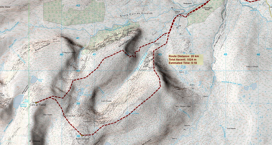
Distance/Ascent20km 1024m
|
Estimated Time7h 00mins
|
ParkingAs for Sabhal Beag
|
30 July 2017
I had saved these hills for the Sunday as the weather forecast had been better with a 60% chance of clear Munros but by Saturday evening the forecast was not so good. The effect of wind was described as being negligible but there were thunderstorms predicted for the afternoon. I thankfully did not experience any lightning but the pictures below taken on the outward and return journeys give a fairly clear indication of the amount of precipitation!
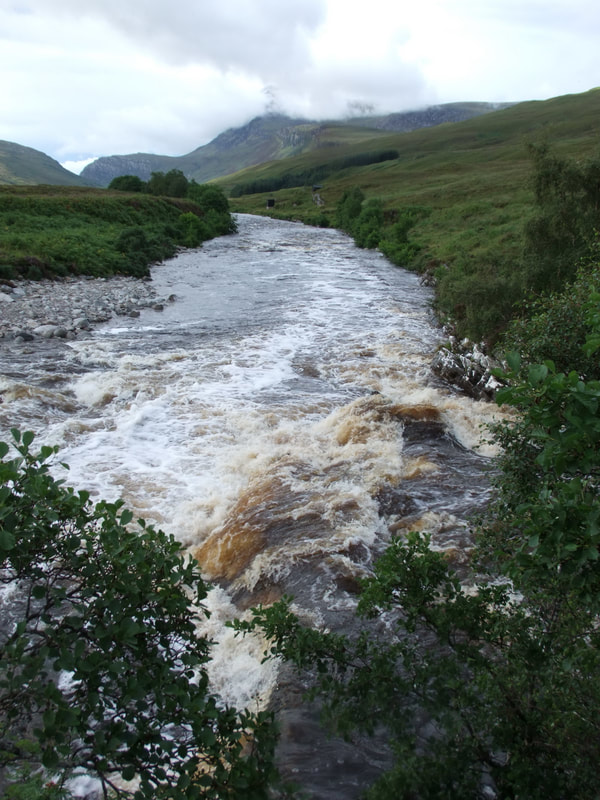
Things still looked promising on reaching Gobernuisgach ....
.... but low cloud developed, bringing rain.
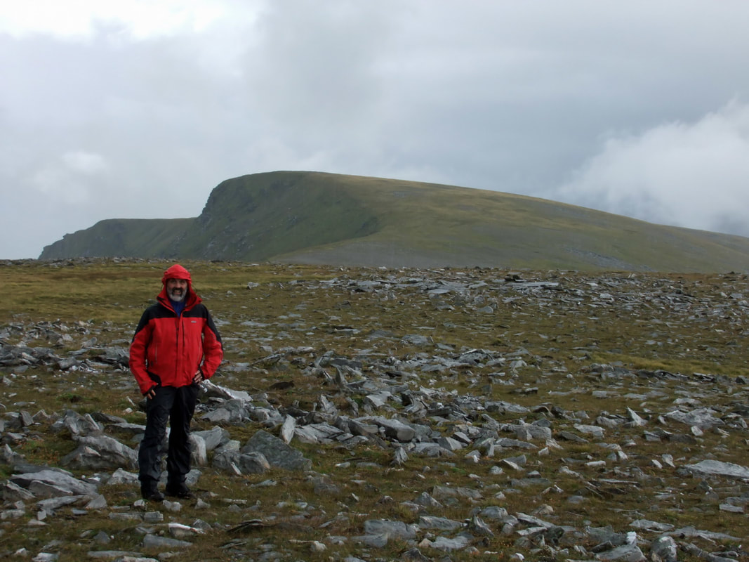
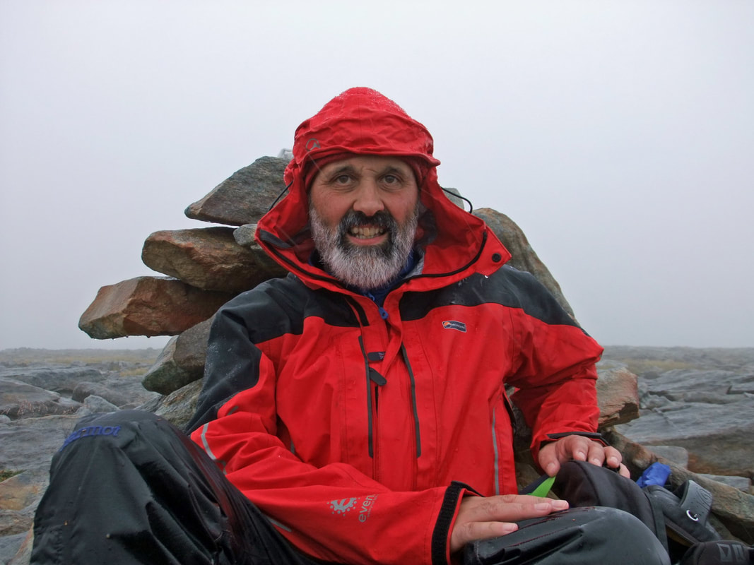
It did ease a bit on reaching the summit and though most hills were covered in cloud, Carn an Tionail was clear. Me camera is not very weatherproof and really does not like the rain but the rain relented enough for a couple of selfies. Without reference to the map, I could not be sure that A' Ghlaise was lower with the summit being above the 750m contour and the height of Carn an Tionail shown as being 759m so there cannot be much in it!
Carn an Tionail is one of the higher Grahams, being only about 10 feet short of being a Corbett and listed as G6. According to the SMC guide, it has an unratified height of 785.5m, so maybe one day it will be promoted - Take note you Corbetteers!
|
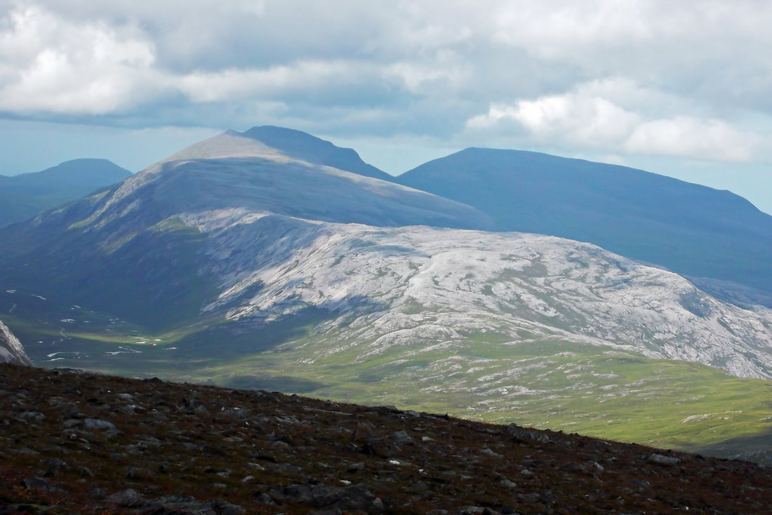
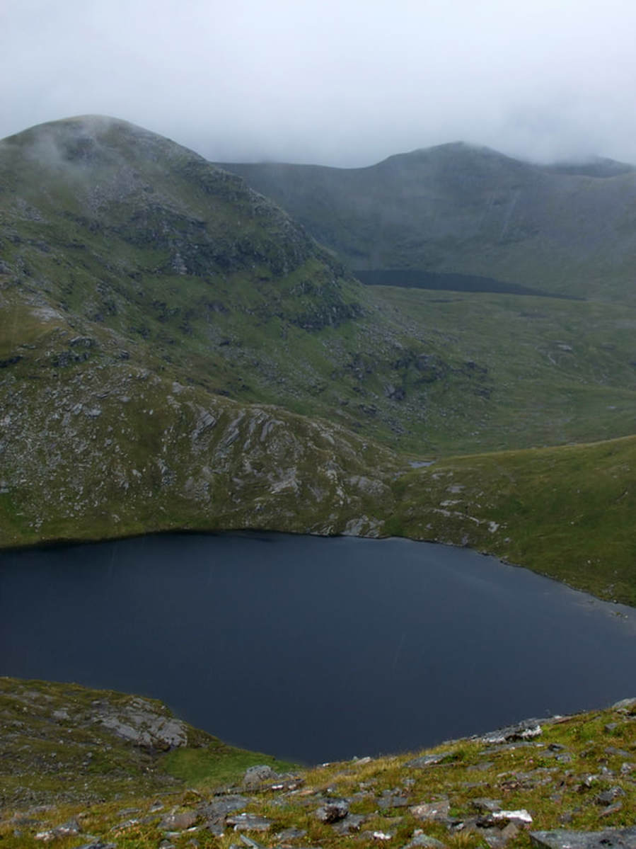
I decided against the 2.5km "just in case" return trip to A' Chlaise but I did wonder over to the west to take a photo of Meallan Liath Coire Mhic Dhughaill (right)
Heading away from the summit, the weather really turned for the worse, though thankfully there was little wind and it was never really cold. It did require careful navigation as the ground between the two peaks was both complex and pathless.
The descent was harder than the ascent as it was much greater, Beinn Direach being much lower and the conditions underfoot being very wet and slippery. Numerous frogs were seen clumsily leaping to escape being crushed beneath my Vibram soles. With a drop of only 152m to the connecting bealach, it is one of the smallest and easiest ascents to the summit of Beinn Direach, at least when talking about Corbetts and Grahams as the same rules do not apply to Munros. |
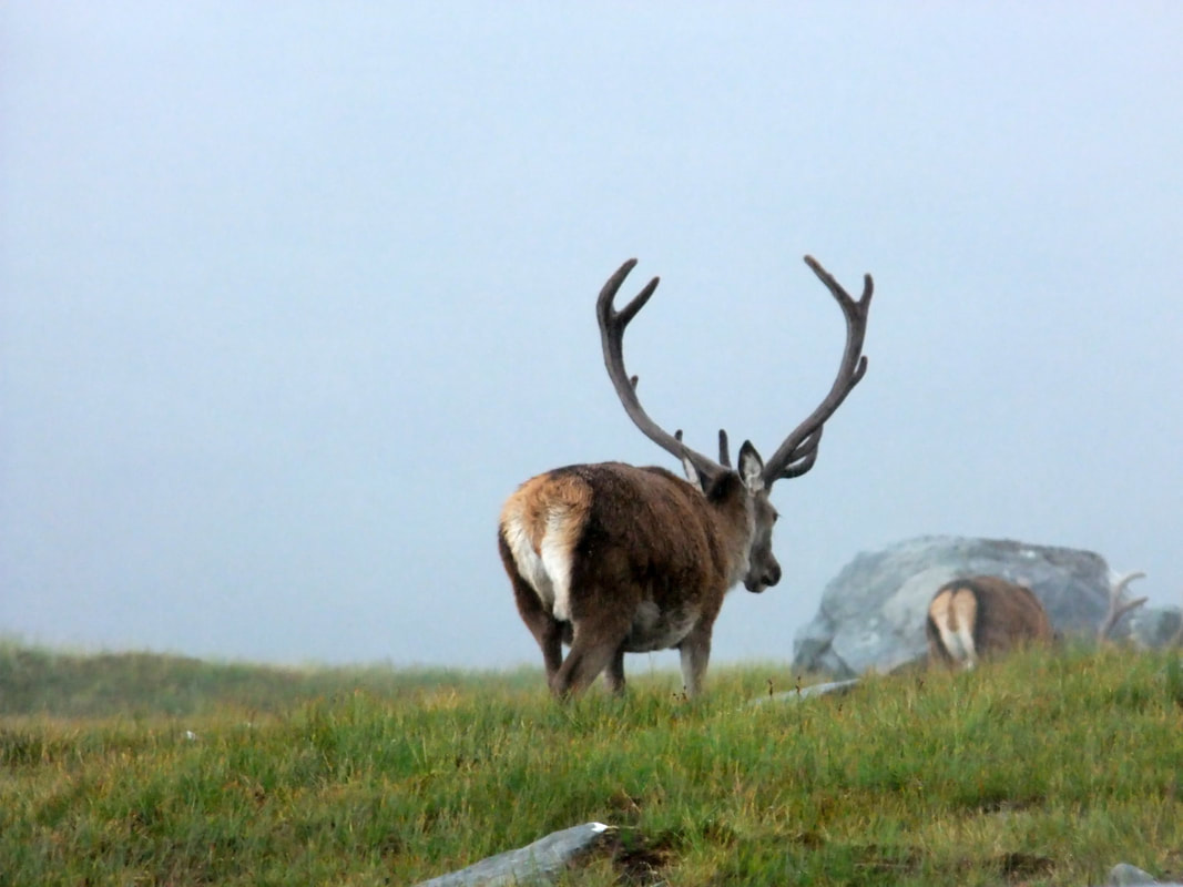
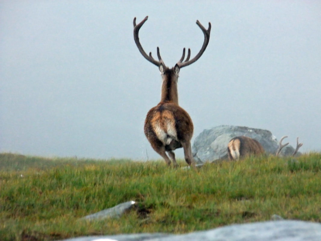
On the descent down the long north-east ridge of Beinn Direach, the weather slowly improved. I saw the horns of this stag sticking out above a boulder so I tried to stalk it with the intention of shooting it with my camera. A fraction of a second after taking the first shot, the stag looked round and I pressed the 'trigger' a second time but my camera was still storing the first image and by the time it had reloaded, the stag had taken flight. If only I had thought to put my camera on rapid fire machine gun mode!

