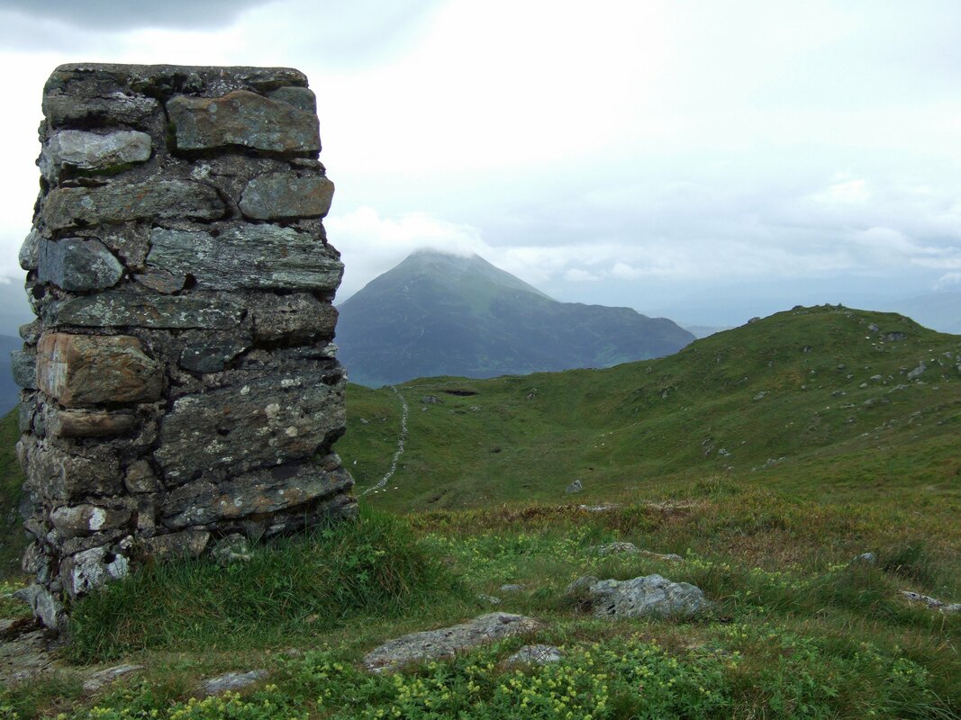
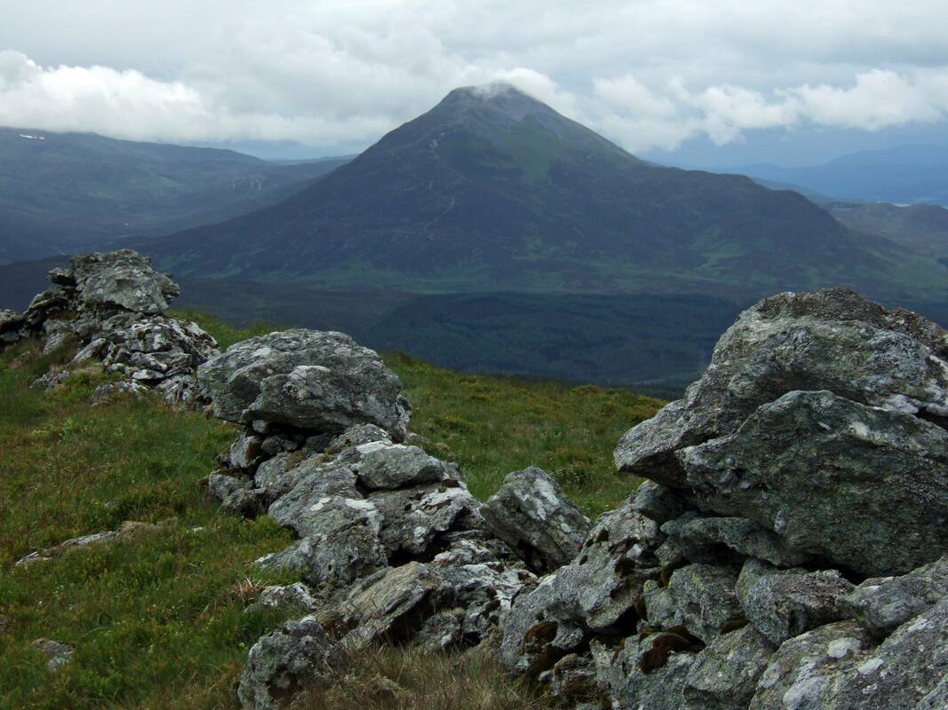
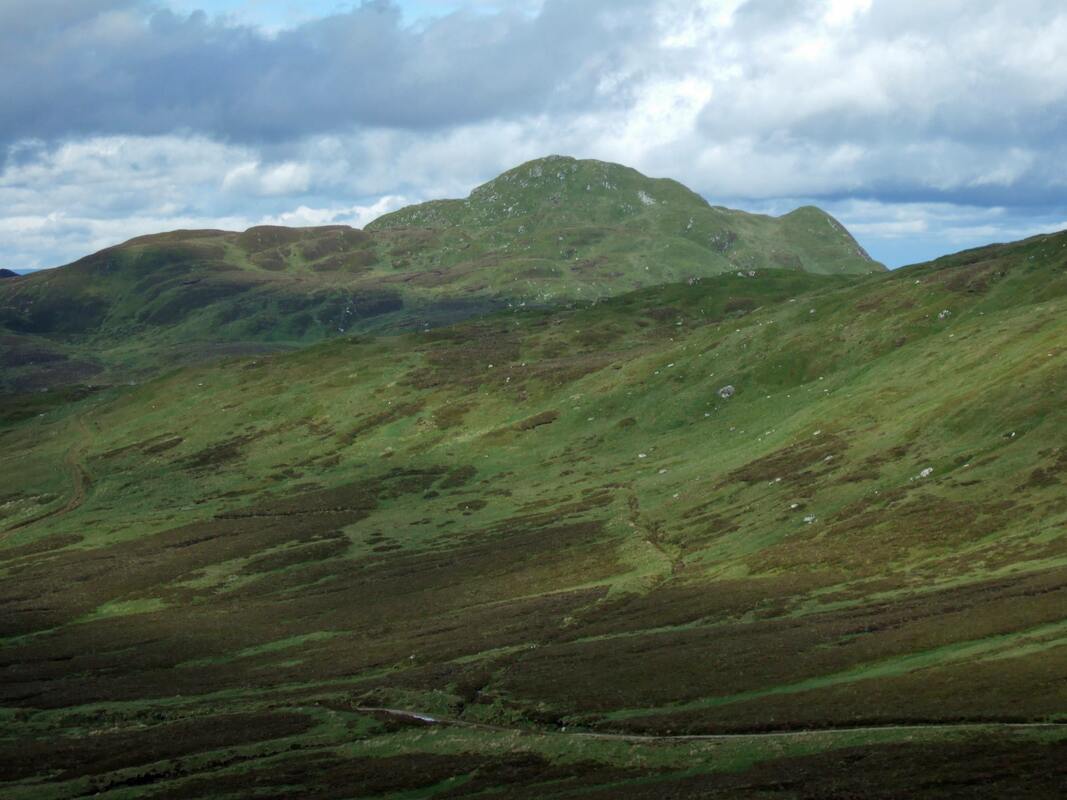
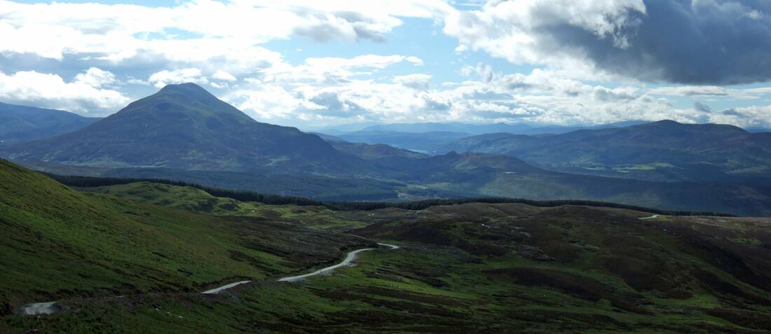
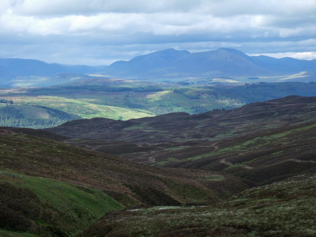
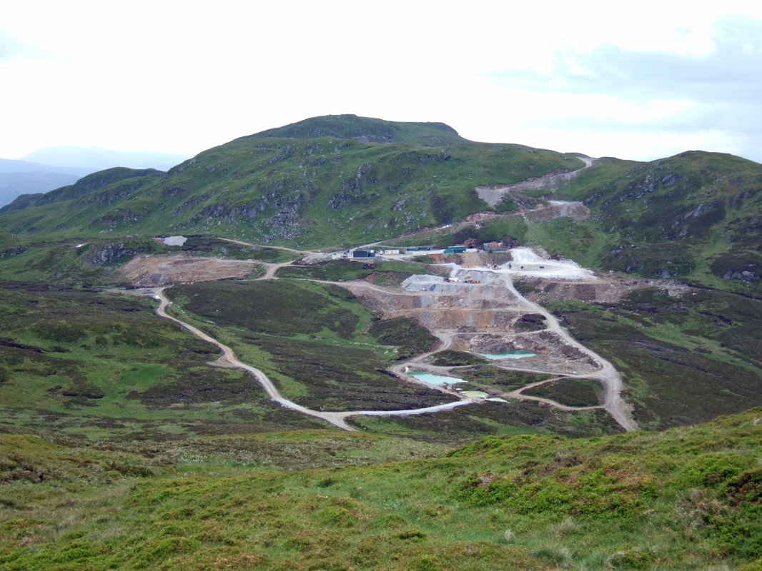
Banner photo: Taken from Farragon Hill - Meall Tairneachan beyond the Foss Mine and Schiehallion in the distance.
Meall Tairneachan and Farragon Hill
MunrosNone
|
CorbettsMeall Tairneachan 787m
Farragon Hill 783m |
GrahamsNone
|
BothiesNone
|
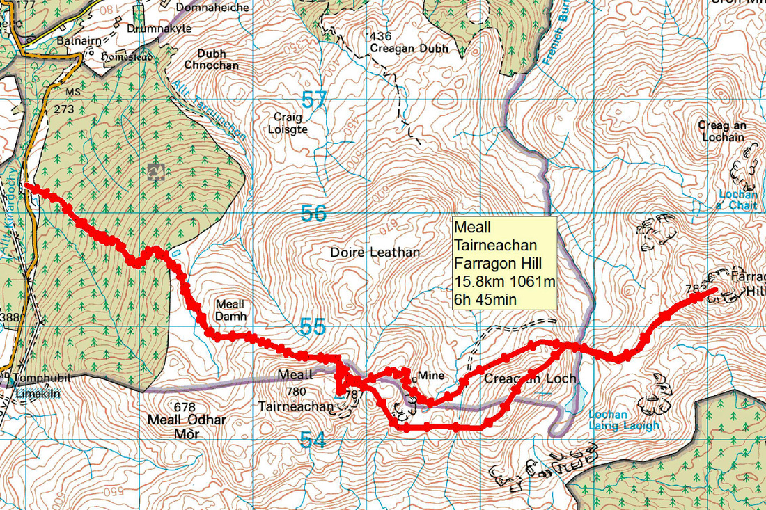
Distance/Ascent16km 1061m
|
Estimated Time6h 45min
|
NotesThere is enough space for a couple of cars at a gateway opposite the start of Foss Mine track. Alternatively, it should be alright parking in the open area at the start of the track, hopefully without the car being crushed by a dumper truck!
|
5 July 2016
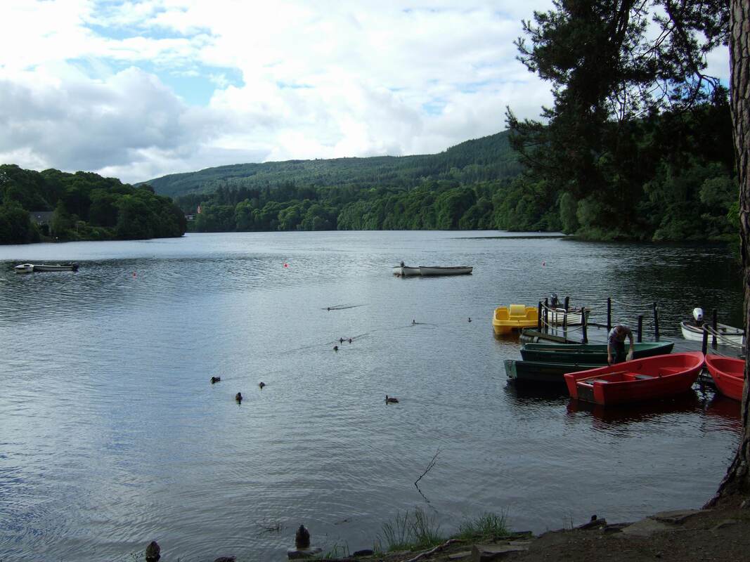
Setting off from the verge of the old A9 near Dalnacardoch Lodge, my car made a strange sound and every time I bore left, there was a sound resembling a distant jet engine. This left me a little anxious as to whether it was anything serious. I needed a good cooked breakfast while I thought about calling the AA (not the Alcoholics Anonymous!). I followed a sign to a cafe at the Pitlochry Boating Station. The cafe was shut but there was signs of life and an inquiry through the open kitchen door at the rear was answered with "I'll open the shutters in just a couple of minutes". Perfect timing and very happy to have found this lochside cafe on this fine morning.
After quickly stopping off at Pitlochry, I headed off for the start of the Foss Mine track on the B846 between Aberfeldy and Tummel bridge. The car continued to make a strange sound, which seemed to emanate somewhere from the rear.
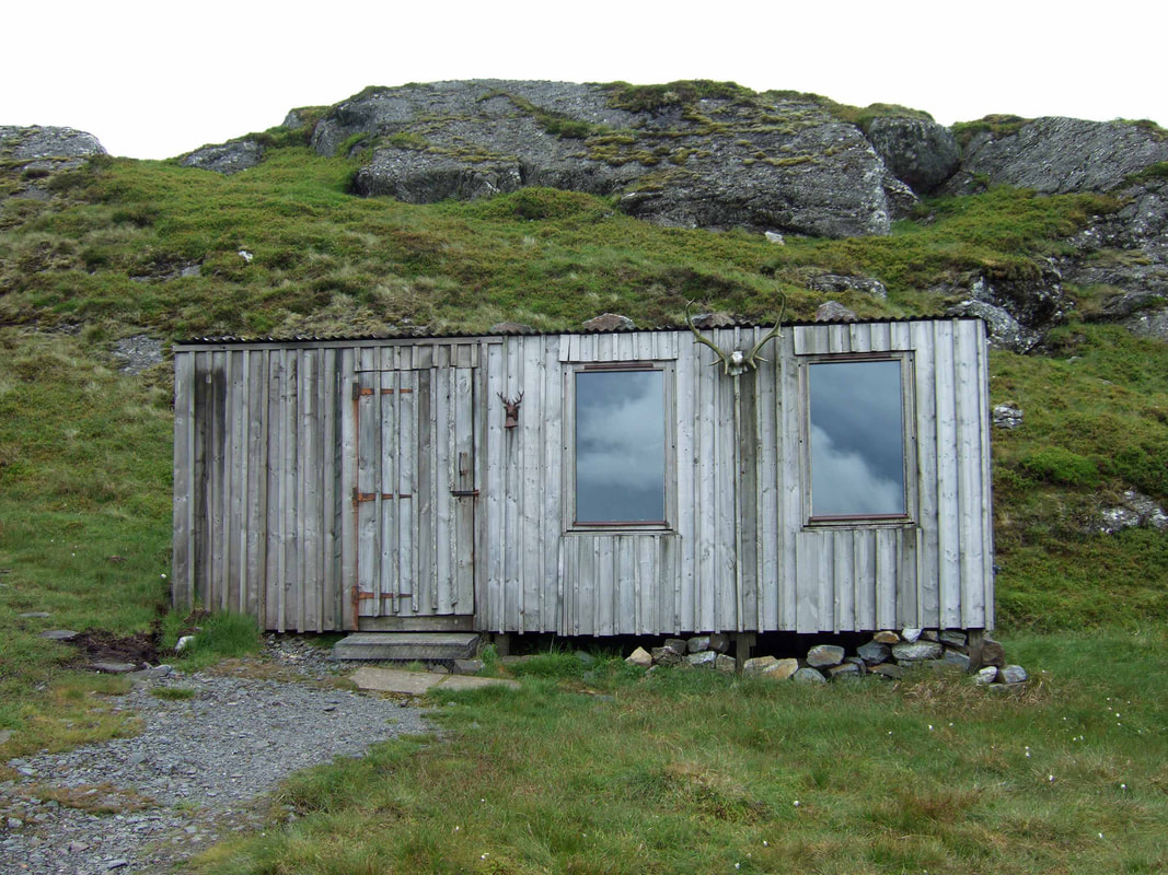
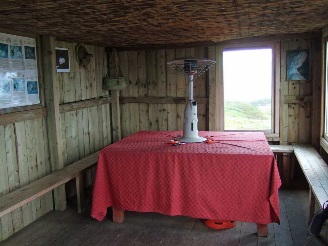
It was around noon when I set off up the track. It is quite steep for the first mile and I pushed my bike for much of the way. Beyond the forestry, I stopped to chat to a walker who was returning after an early start. Continuing, I explored a track heading right and it led to an unlocked bothy used by Highland Safaris. They do not lock the bothy and seem to have no objection to walkers popping in to use it, though I think it would be totally inappropriate to use the gas heaters etc. A notice inside reads "Should anyone seek temporary shelter here we would be grateful if you would leave the bothy as you would expect to find it".
It was around noon when I set off up the track. It is quite steep for the first mile and I pushed my bike for much of the way. Beyond the forestry, I stopped to chat to a walker who was returning after an early start. Continuing, I explored a track heading right and it led to an unlocked bothy used by Highland Safaris. They do not lock the bothy and seem to have no objection to walkers popping in to use it, though I think it would be totally inappropriate to use the gas heaters etc. A notice inside reads "Should anyone seek temporary shelter here we would be grateful if you would leave the bothy as you would expect to find it".
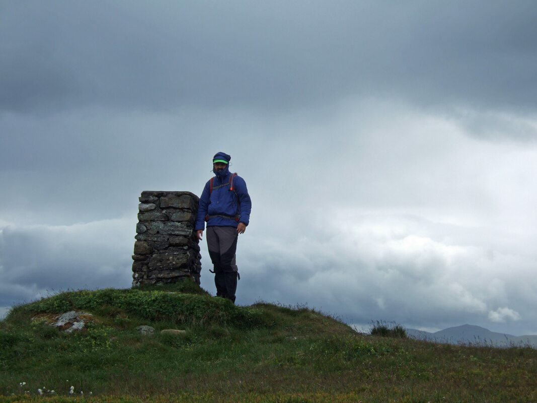
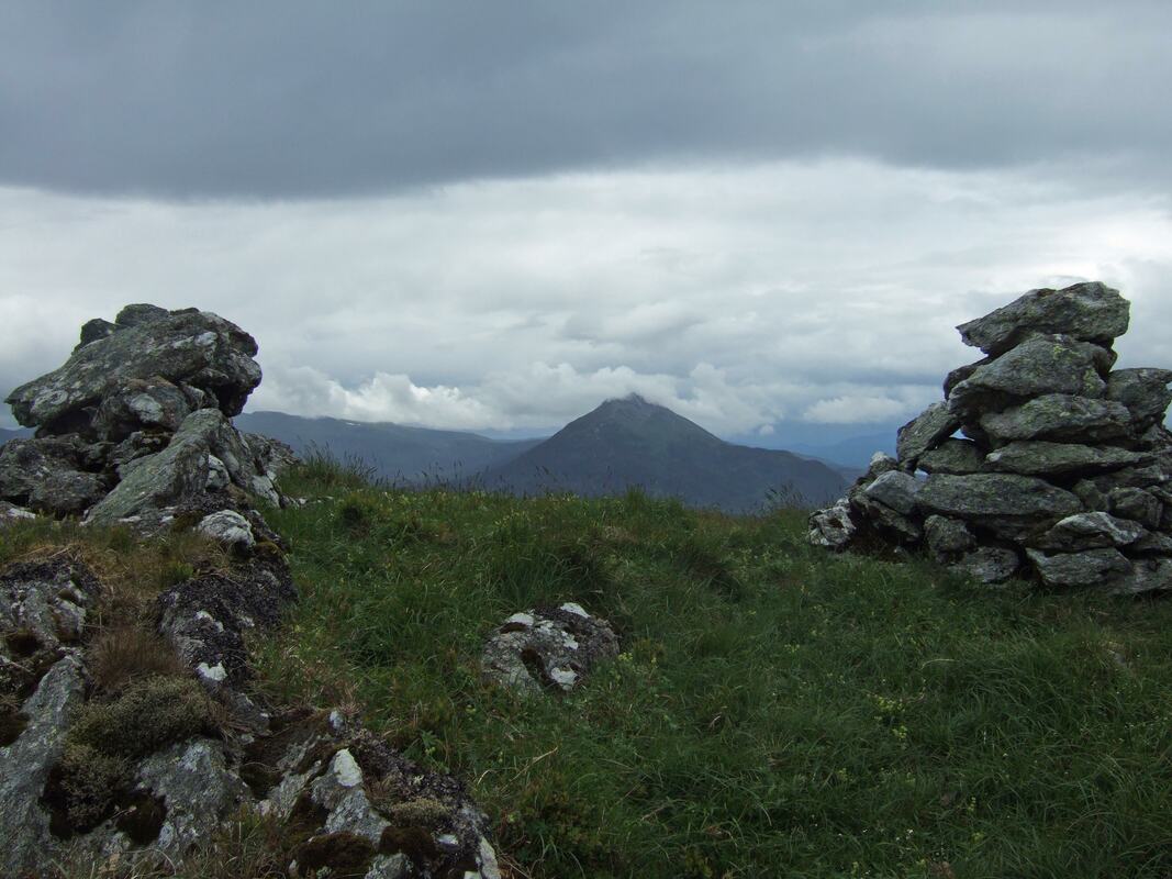
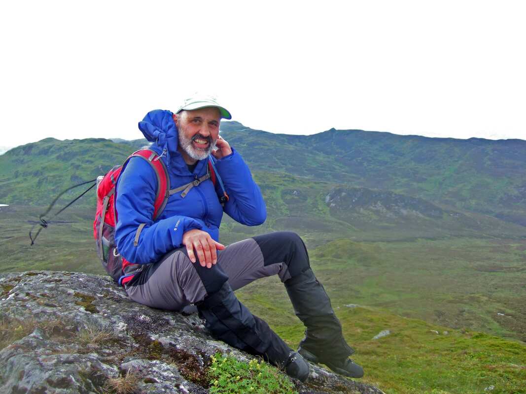
Arriving at the trig point, I got it into my head that it was not the summit and headed for the small cairn seen to the right of the photograph below. According to the map the trig point is 7 metres higher. I took selfies at both and it was a pleasant walk across to the subsidiary top.
At this point, I needed to make a decision; continue on my bike to the end of the track or go over pathless undulating terrain on foot. I continued on my bike to the far side of the mine and then took the high route to Farragon Hill. I skirted most of the wee knolls but it took approximately two hours between the two Corbetts including photo stops and food stops. I have looked at the times of the summit photographs to determine this and I feel very surprised that it took 2 hours to cover approximately 5km. It certainly did not feel that long!
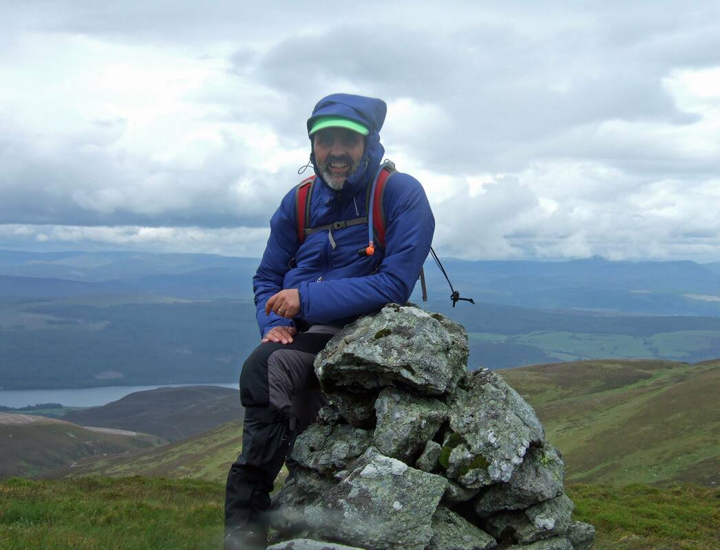
Doing a decent summit selfie was a little difficult and after a certain amount of experimentation and removing rain drops from the lens, this is probably the best of the lot. I used the summit cairn as an extension to the Gorillapod. Here, I have nicely blocked out the mine while the top of Meall Tairneachan is seem by the brim of my cap.
When approaching Farragon Hill and again while descending from it, I saw a Golden Eagle. While I took a photograph, unfortunately, I was only carrying my compact camera, which only has a 3x zoom so I have not kept it.
For the return, I headed straight for the end of the track. The weather was brightening up and even with a food stop on reaching my bike the return journey took just two hours.
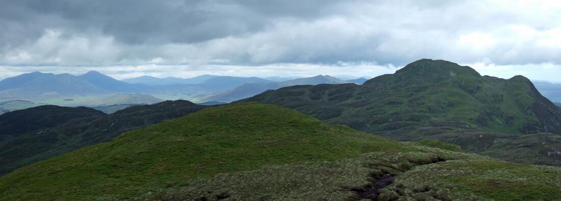
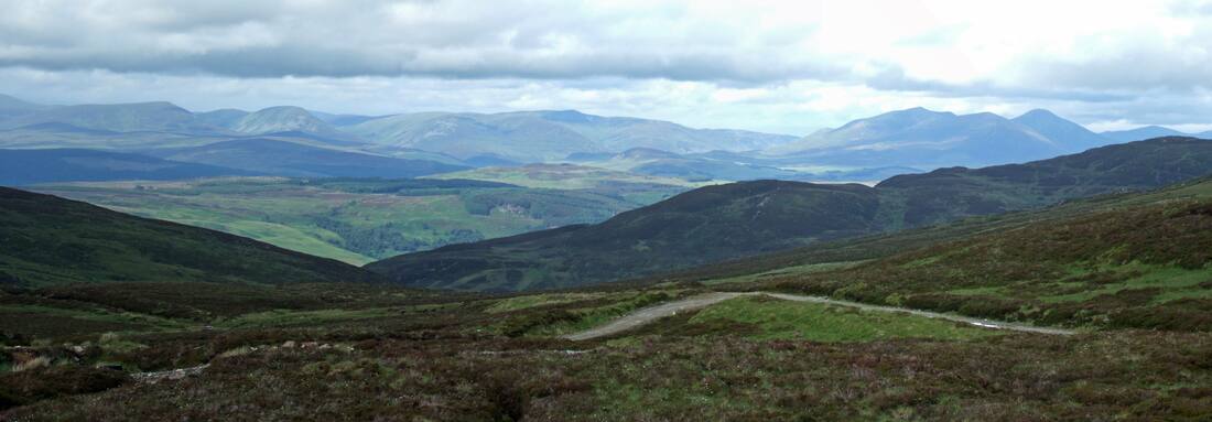
Top to bottom:
Looking towards Carn a' Chlamain (centre) and Beinn a'Ghlo (right)
Looking back to Farragon Hill
Looking towards Schiehallion (left), Loch Rannoch and Beinn Chuallaich (right)
Back to Beinn a'Ghlo
Looking towards Carn a' Chlamain (centre) and Beinn a'Ghlo (right)
Looking back to Farragon Hill
Looking towards Schiehallion (left), Loch Rannoch and Beinn Chuallaich (right)
Back to Beinn a'Ghlo
Driving home, my car continued to make strange noises and I kept my speed down just in case it was anything serious. Looking at my mileage on the tripmeter against my fuel meter suggested that the problem was not affecting my fuel economy. The next day, I took the car to Bannermann's in Tain. My main concern was the safety of my passengers. A mechanic went out with me in the car and he suspected it was a worn wheel bearing. Raising up the car on a jack and rotating the wheel confirmed that this was indeed the problem. He could even rock the wheel to and through. I left the car with him and spent the day in Tain. The car has since been fine. I wish my knees could be fixed as easily!
About the Foss Mine
|
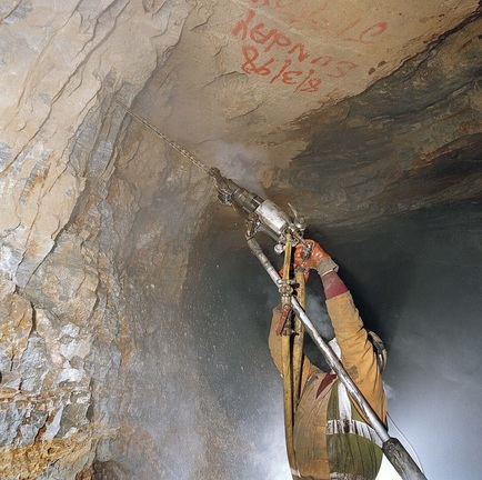
The Foss Mine is still a fully operating barite mine.
Barite or barytes (barium sulphate) is a mineral largely used (77% of it) as a weighting agent for drilling fluids in oil and gas exploration. It is an essential component and there is no substitute that has all of its properties. A drilling fluid is used to aid the drilling of boreholes and barite is used as a weighting agent to increase the density of the fluid to help control pressure from the gas or oil reservoir. Its other properties of being relatively soft, inert and non-magnetic have benefits in terms of drill wear. Other uses of barite are value-added applications, such as:
Taken from http://duntanlich.com/about-barite/ |

