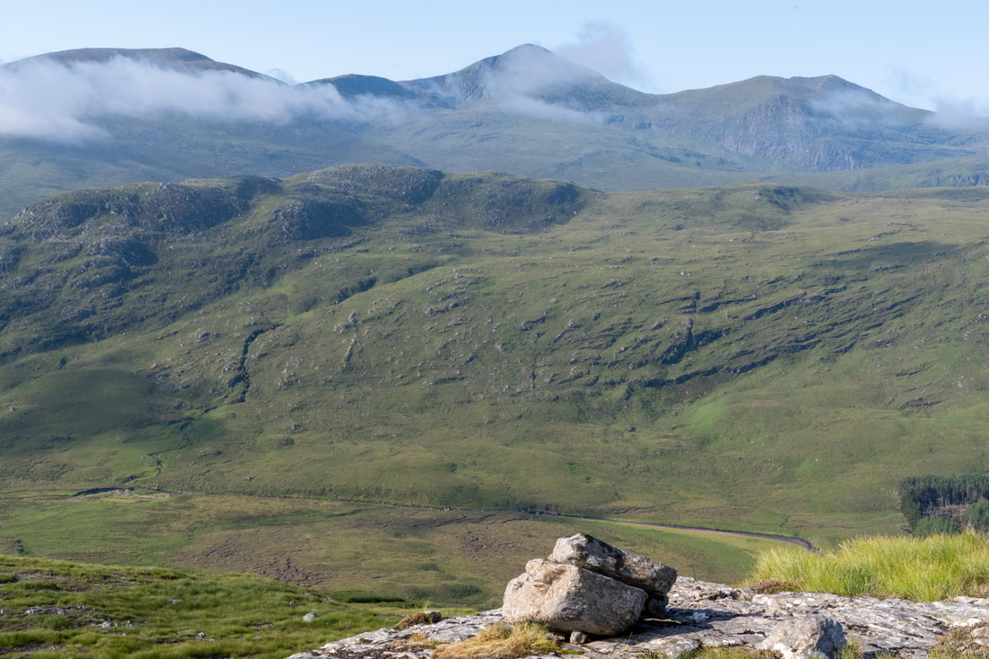
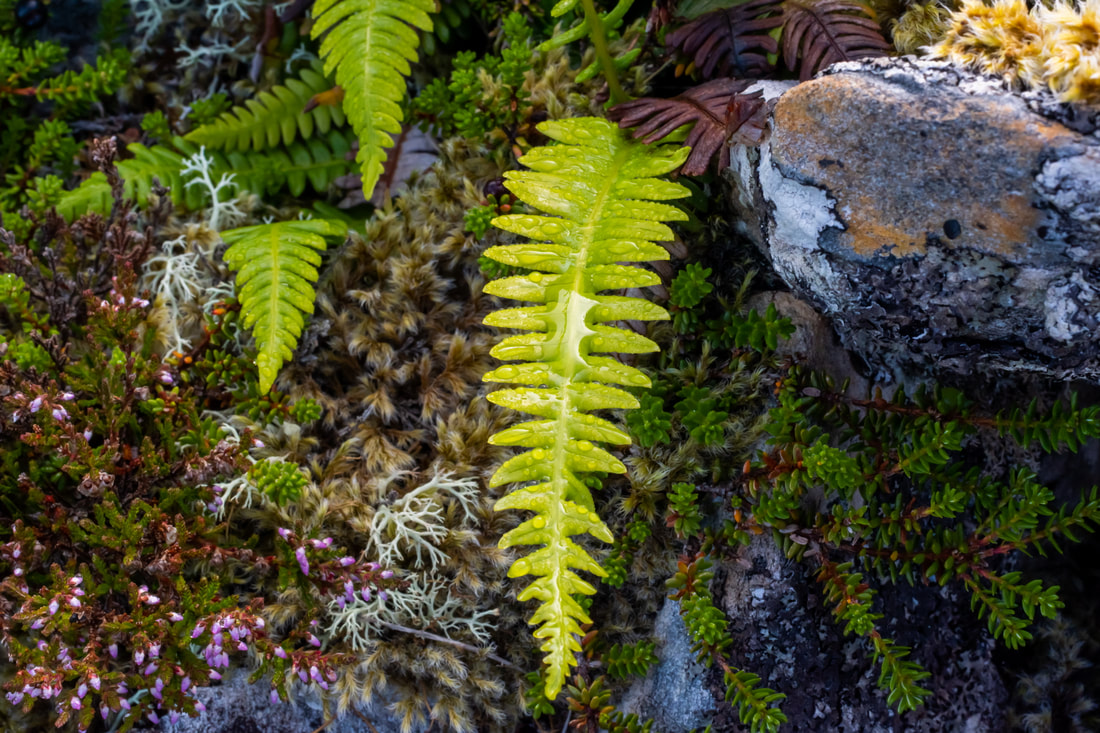
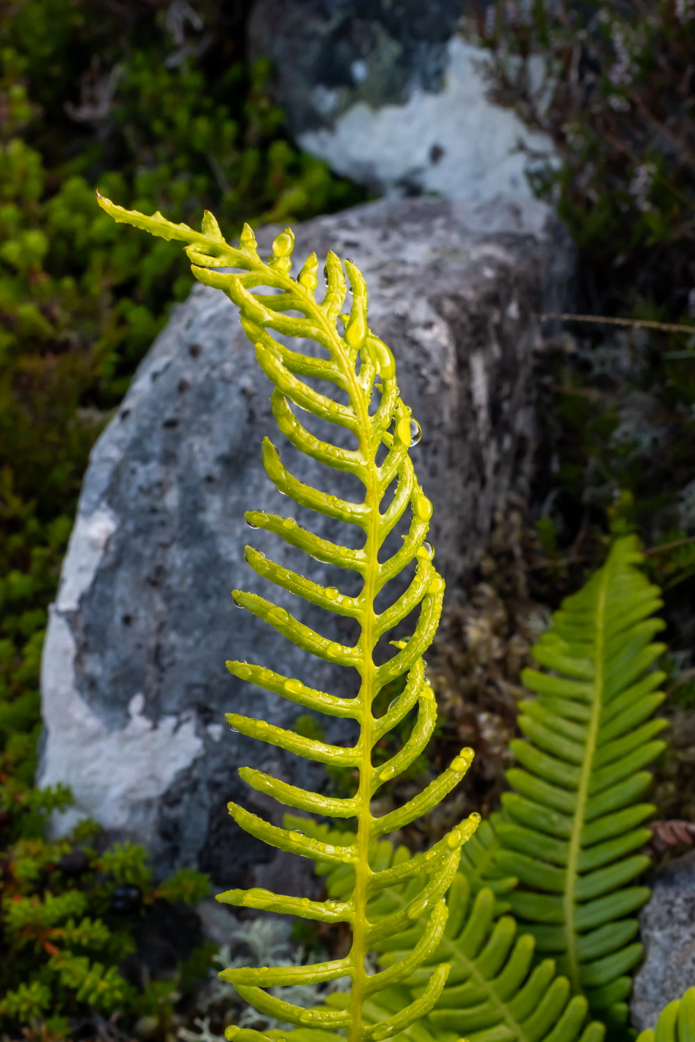
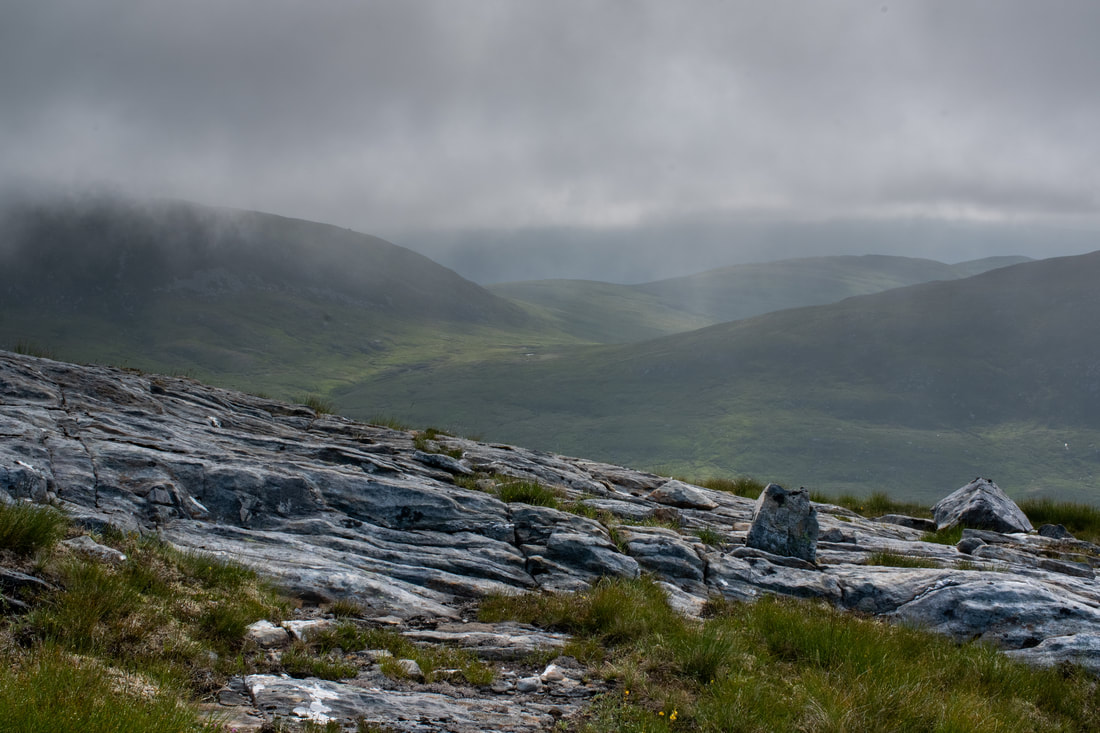
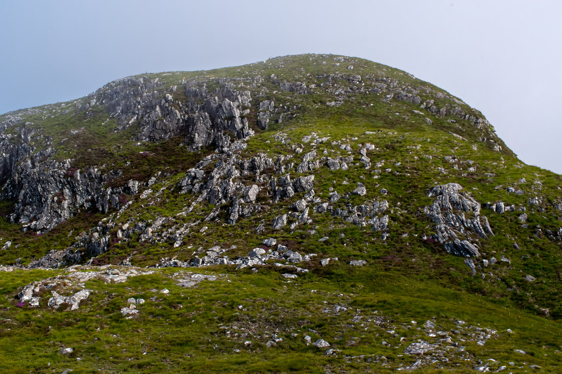
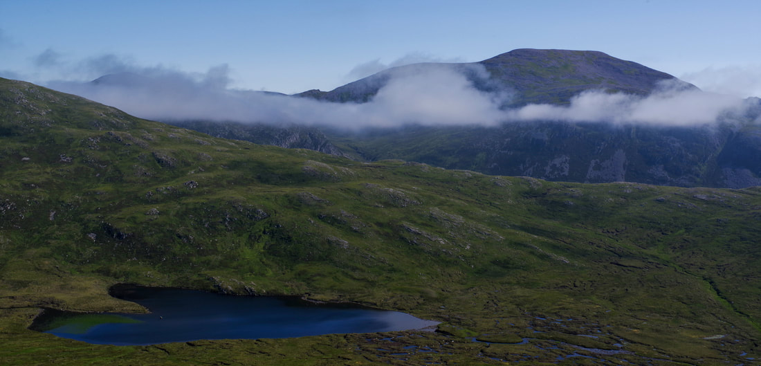
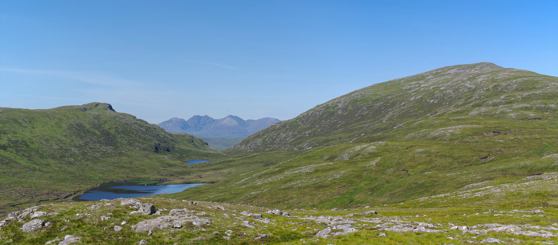
Banner photo: looking towards the Fisherfield Forest during the winter ascent of Meall Doire Faid
Meall Doire Faid
GrahamsMeall Doire Faid
|
Other HillsNone
|
BothiesNone
|
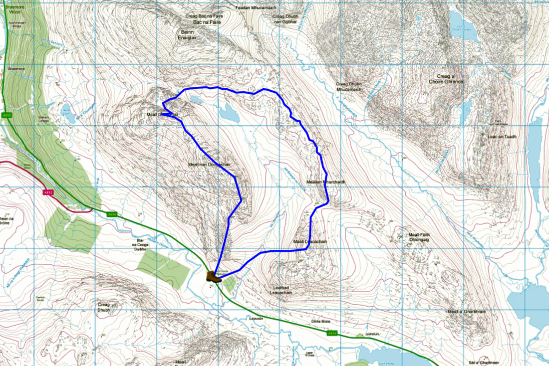
Distance/ascent11km 800m
|
Estimated time6h
|
NotesParking at a section of old road/layby at NH 229 765. This may not be usable after heavy snowfall!
|
4 January 2021
I first attempted this route on January 4th of this year. There was deep snow all the way down to the road. The day started badly with me getting my car stuck at the parking place (see notes above). Placing car mats behind the front wheels, I eventually managed to reverse back out.
This resulted in a slightly later than planned start, especially as I had to park a mile up the road and walk back. The going was hard right from the road with knee deep snow and no existing footprints to follow. Also, I was feeling a little below par and this was my first hill for a year, having spent the preceding year in Kazakhstan without travelling home due to the pandemic.
I had done a lot of cycling over the summer but it is hard staying fit over the long, cold winters.
I had hoped that it would be more wind swept higher up but the snow remained soft and deep. There was a party on skis over to my left and I felt that they were making slightly better progress than I. I wondered if snowshoe would make a difference or if the snow was so soft that they would pile up with snow.
I eventually met up with the skiers where there is a bit of a gully coinciding with a a levelling out or slight dip in the ridge. The skiers told me that they could be down in 15 minutes! Somehow, I thought it would take me a bit longer. The route ahead seemed extremely steep. The snow was banked up, almost creating a cornice. It was extremely hard work overcoming this section with my feet penetrating to the bottom of the snow to the rocks below. Crampons would not have helped at all. The snow was not really firm enough to place my axe shaft in the snow above and pull. After a lot of struggling, I made it to slightly easier ground above, but it had sapped my energies and I was breathing hard.
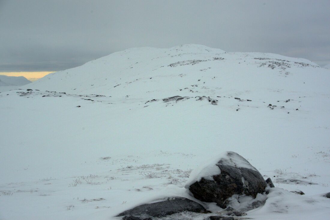
I continued along the ridge, but eventually had to stop. I really was not feeling very well. I pushed on a little bit further with the summit in sight, but on reaching the point from which the photograph below was taken, I made the decision to drop down directly to the road and return another day. The snow seemed even deeper on the southern slopes and I was not feeling any better. After a while I stopped to drink some hot coffee, but it did not stay down. Further down, my left leg sunk into a snowy hole. I tried to pull it out but all the pulling and twisting did was stain my groin. I momentarily though to myself, "Is this how it all ends?". Digging snow out with my hands and more pulling and twisting, I was eventually able to extract my leg and I proceeded downwards with greater care. Progress was slow considering I was walking downhill and it was getting dark by the time I reached the A835. I started the march back to my car. I decided to try not to try and hitch a lift due to the pandemic, but a nice couple stopped anyway. If I remember correctly, they had been up Cul Mhor or Cul Beag and apparently the walking conditions were good without such deep snow. They informed me that they were not concerned about Coronavirus so I gratefully jumped in for the 5km back to my car.
It took be three attempts to reach Geal Chàrn, in the Monadhliath. The first time was because we could not cross the Markie Burn due to heavy rain and the second time I tried to ascent it on very narrow cross-country skis in strong winds. The skis were not really suitable for ski mountaineering and besides which the entire group decided to turn back. I have returned to do it twice since then, so the score is 2-2.
I also turned back from Beinn a'Chochuill and Beinn Eunaich due to an upset stomach. That turned out to be the right decision. That was low down on the track.
My climbing partner and I also once backed off a climbing route on Tryfan in continuous rain, though I was happy to continue on that occasion. We wore walking socks on the outside of our rock boots.
I have never been "beaten" by a Corbett and I never thought that I would fail to reach the top of a Graham, especially one so close to the road and with quite a high starting point.
22 July 2021
I would ordinarily have returned sooner, but working overseas, this was my first opportunity after my 10 day quarantine. The weather had been glorious and it was a tad frustrating being stuck at home, but at least I got a few jobs done and practiced a bit of macro photography.
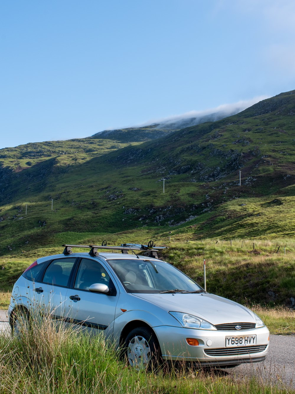
I drove to the parking place where I had become stuck six months earlier. There were a few overnighting camper vans and it was hard to believe that I had such difficulty on an old section A road. Looking east there was a lot of cloud that I knew would soon "burn off" (seems like a strange term as water vapour does not actually burn). Looking west, there were blue skies and clear tops to the mountains. My objective still had a bit of cloud on the summit.
I drove to the parking place where I had become stuck six months earlier. There were a few overnighting camper vans and it was hard to believe that I had such difficulty on an old section A road. Looking east there was a lot of cloud that I knew would soon "burn off" (seems like a strange term as water vapour does not actually burn). Looking west, there were blue skies and clear tops to the mountains. My objective still had a bit of cloud on the summit.
Looking west towards An Teallach:
Just over three years ago, I bought my first DSLR and for today a recently acquired second hand but mint condition 35mm macro lens was attached. Half of my six lenses are weather sealed but this is not one of them. I left my trusty 20-40mm WR lens at home, confident that it would not rain. If I wanted something wider, I could stitch photos for a panorama and I could make use of the macro capabilities of the 35mm lens for flowers and bugs.
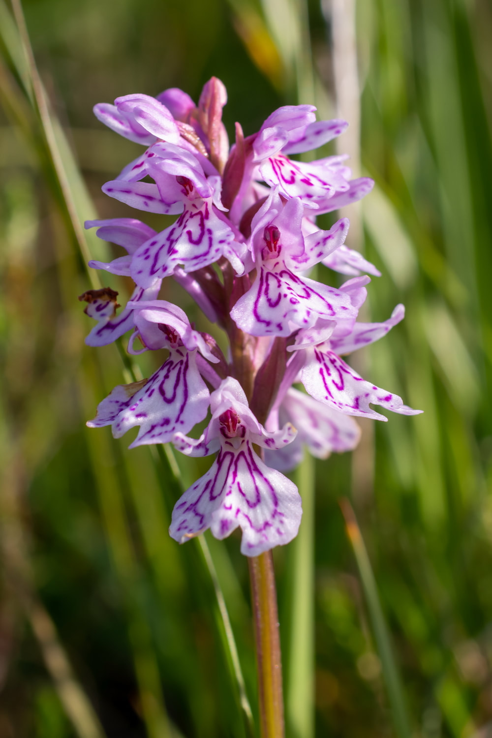
Below: spotted orchid, Dactylorhiza fuchsii.
Below: spotted orchid, Dactylorhiza fuchsii.
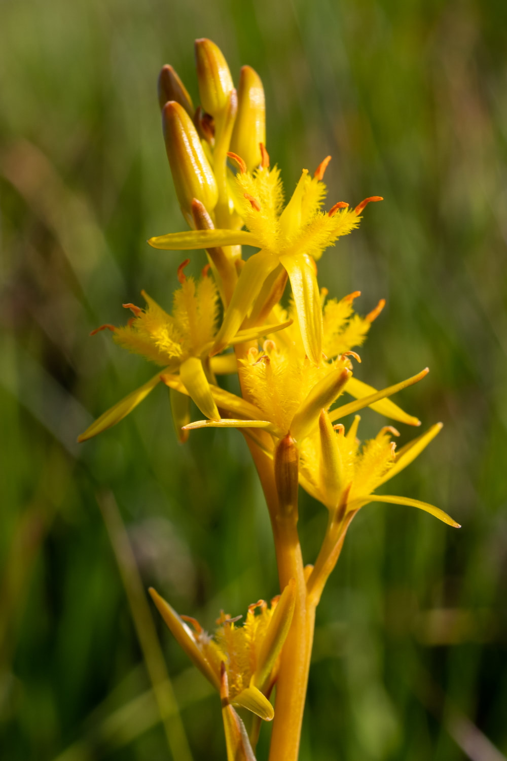
Bog asphodel, Narthecium ossifragum.
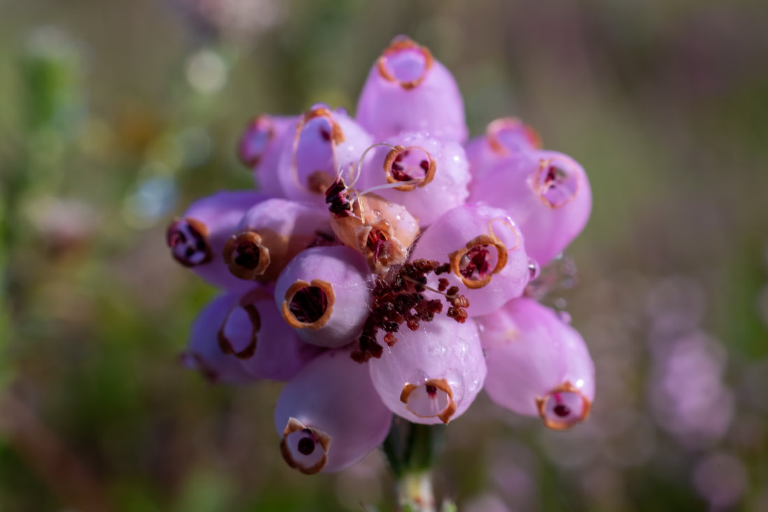
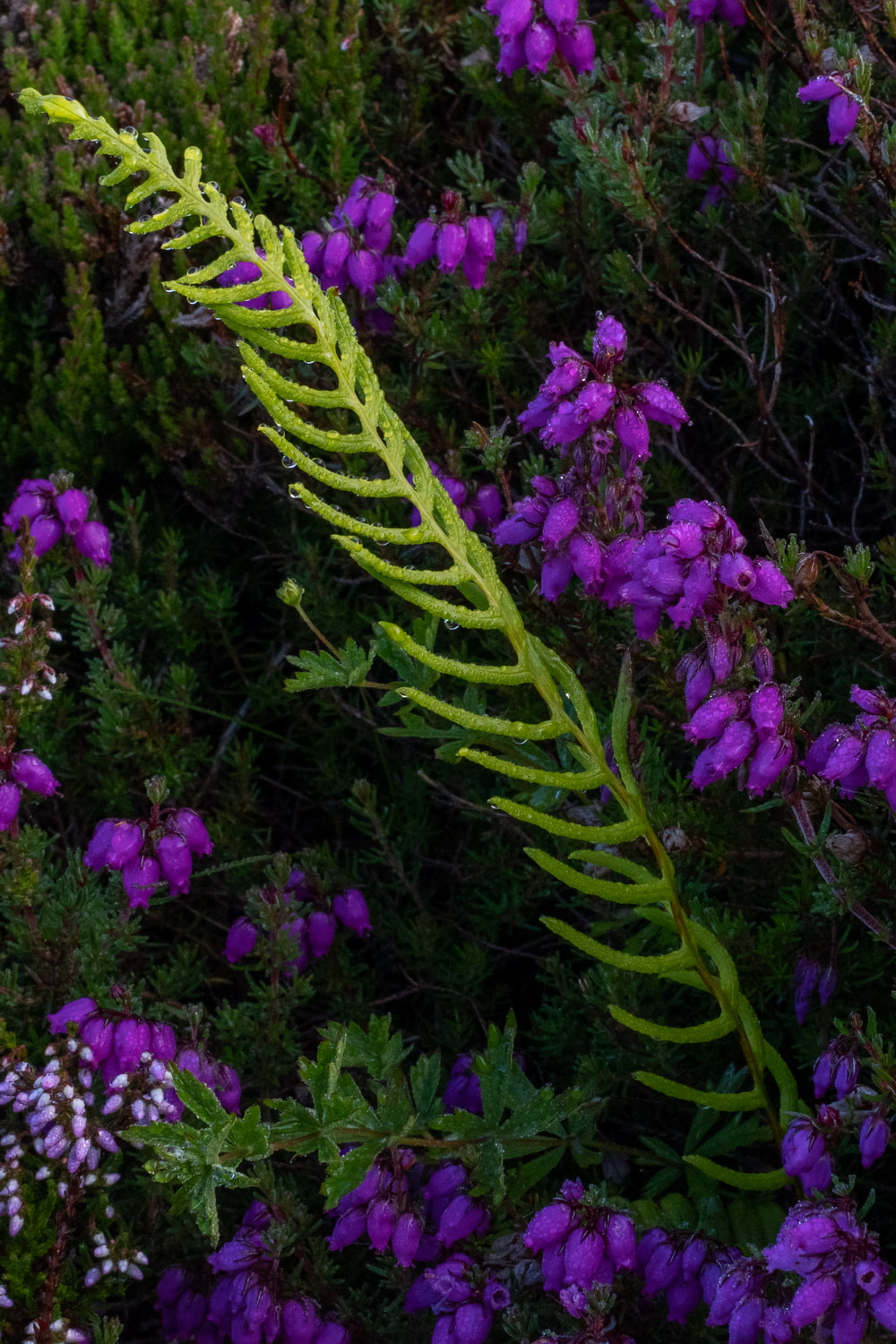
Heather, Calluna vulgaris.
The lens still works well for landscapes: The Fannichs.
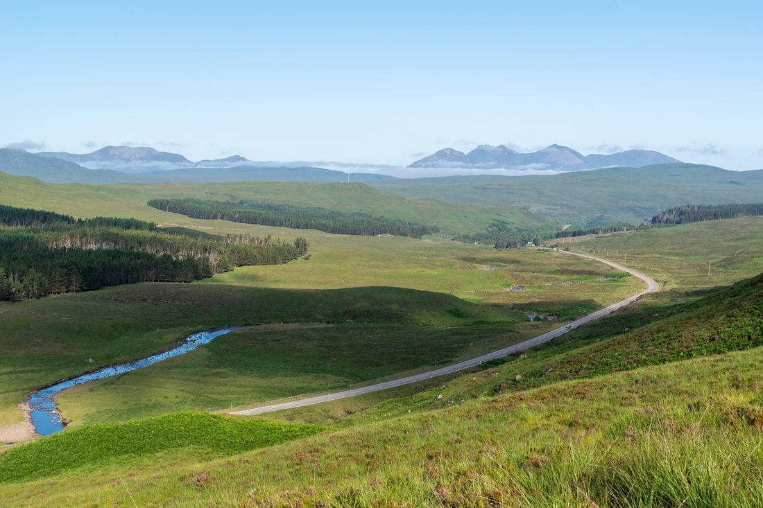
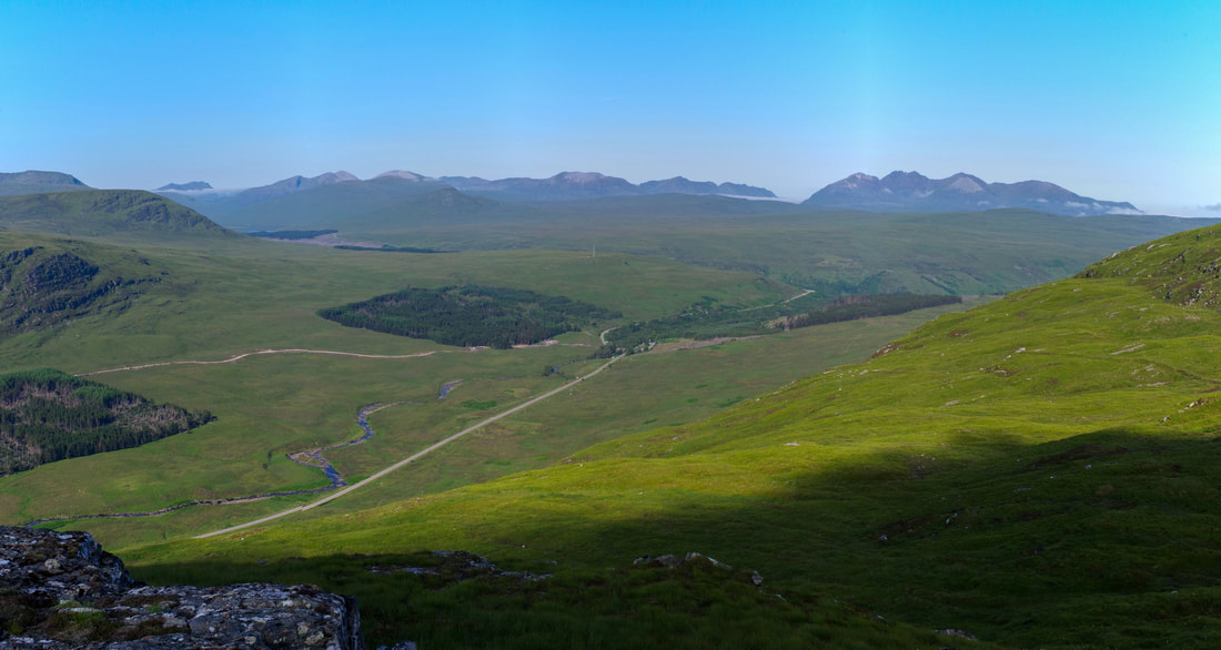
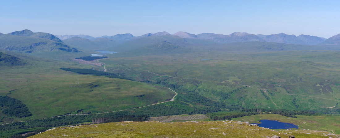
Looking towards the Fisherfield Forest and An Teallach.
There was still a lot of cloud to the east. My route was to bass over the hill to the left, but I was confident that it would clear by then.
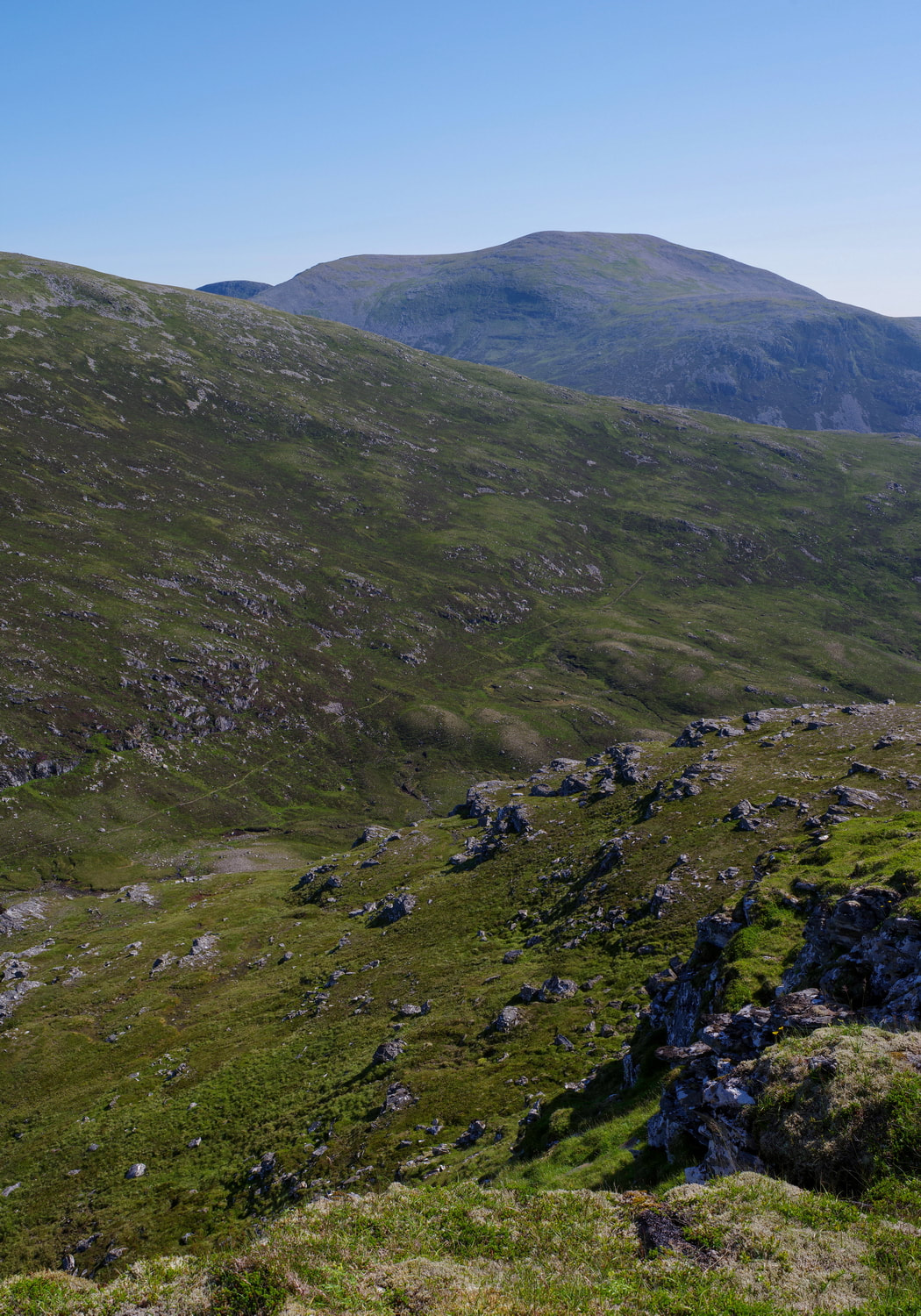
It is hard to believe that the upper part of this section had caused me such difficulties but the snow had settled in a way to make it steeper than it appears here.
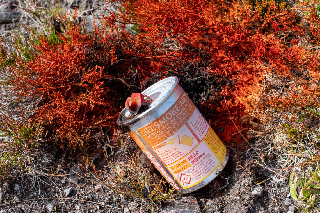
Moving onwards and upwards, within one of the slight dips, I saw a rusty colouration on the ground. I really could not make out what it was until I closed in on it and saw that it was a cannister that was used as a flare. Normally, I would remove such things from the hill but I still had a long way to go to carry it in my hand and I did not want it to contaminate my kit in my backpack.
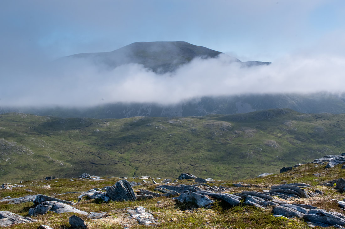
Looking towards Beinn Dearg rising up above the patchy clouds.
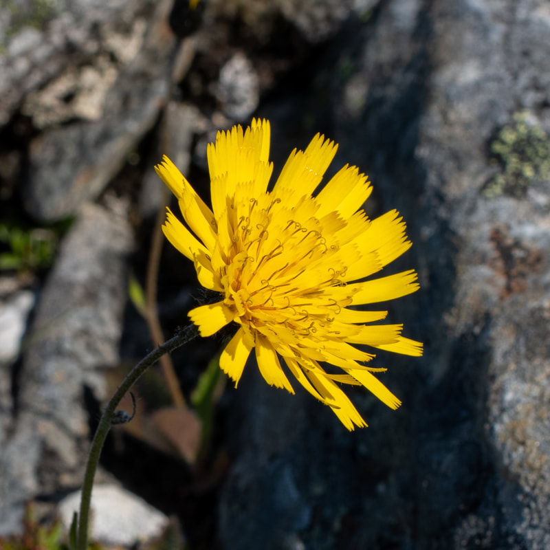
I posted the flower below on the NHM UK Biodiversity Facebook page. Usually, I get a definitive answer, but on this occasions, I received several suggestions as to shat it might be:
David Feld
"Hieracium, sp."
Peter Coleman-Smith
"No, it’s a mountain lion"
Belinda Durrant
"Some sort of hawkweed??"
"Which is as it turns out Hieracium sp as David Feld said 🙄"
Andy Temple
"Autumnal Hawkbit"
Annie Chow
"It's cat's ear"
Susan Lane
"Looks to me very much like the hawkweed growing in my garden south of Oxford. Correction, this particular plant is the Long-rooted Cat's Ear, similar flower to the Hawkweed, but the leaves are different."
Caitríona Michelle
"False dandelion:
Hypochaeris radicata, also known as catsear, flatweed, cat's-ear, and hairy cat's ear, is a perennial, low-lying edible herb often found in lawns."
Richard Collingridge
"I don't think we can really see enough to say much more than that it's not one of the many actual dandelions (Taraxicum spp), as those have fleshy stems, without the hairs and bracts (tiny leaves) which are visible here.
We really need to see the leaves and the whole stem, and ideally the heads before and after flowering. There are quite a few of these "dandeloids" and they can be tricky to tell apart without close examination, often needing a lens and a key.
I'm not going to stick my neck out with a guess..."
"Interestingly almost all UK plants with dandelion-type flowers have English names with animals in them, or animal parts, or both (hawkbit, hawksbeard, oxtongue, catsear etc etc). Dandelion itself, which is from the French for "lion's tooth" (dent de lion)."
Richard is of course right in that I should have included details of the leaves and stems. As a photographer, my interest is in the beauty of the flower, but as a biologist, I should understand the importance of all parts of the plant when identifying the species.
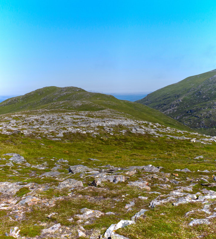
This photograph was taken not for its topographical interest, but because it approximated to the point at which I had retreated off the hill in January. I made a mental note of the time to see how long it took to the summit in ideal summer conditions. It took 16 minutes. I think it could easily have taken three times that time back in the deep snows of last January. I know the summit seems to close, but I was right to start descending the hill. On this occasion, I felt strong and it was an easy walk to the summit.
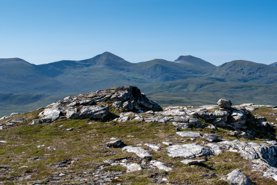
Looking north-east across the SE ridge of Beinn Enaiglar (Corbet) towards Beinn Dearg.
L to R Meall Doire Faid (Graham), Beinn Enaiglar (Corbett) and Beinn Dearg (Munro).
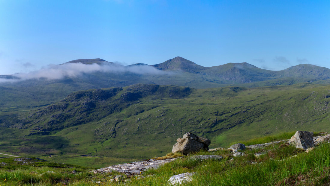
South to the Fannichs.
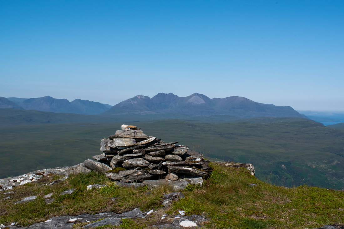
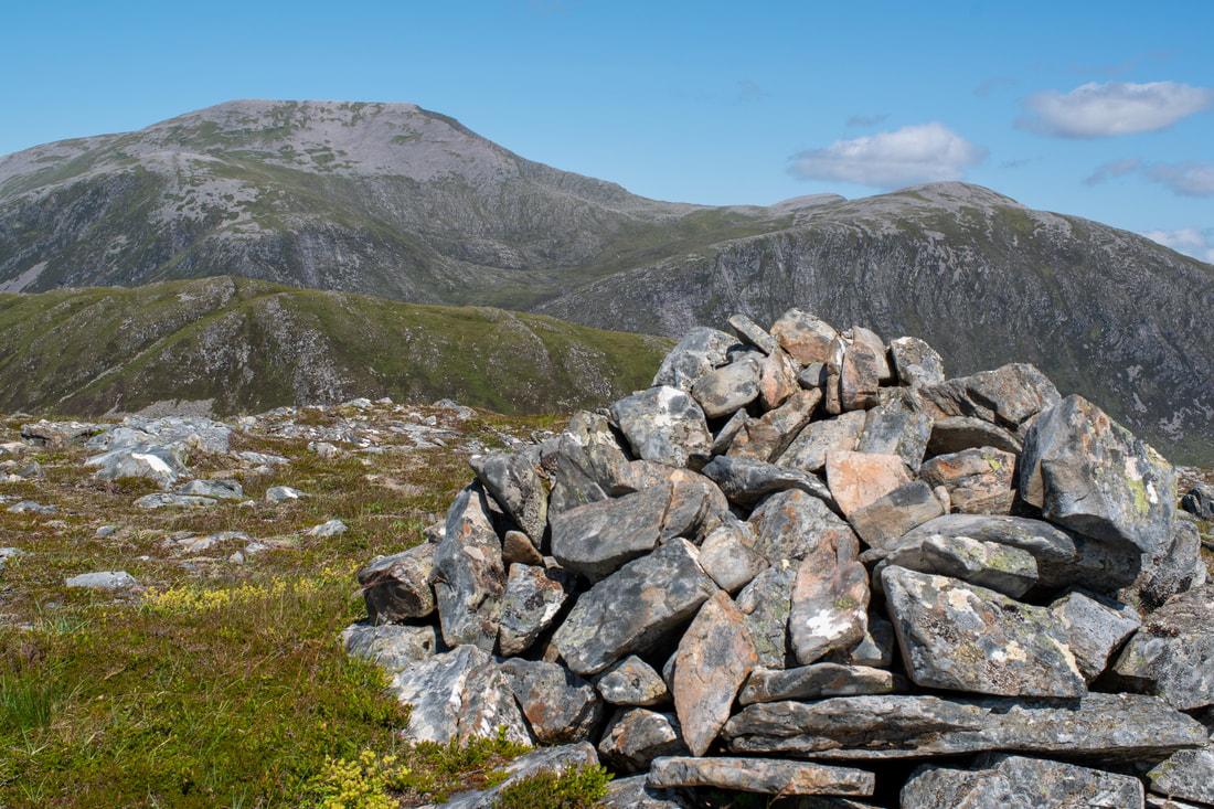
The summit cairn looking towards An Teallach
I was surveying my descent route even before reaching the summit. The stalker's path that I was going to head for is clearly visible.
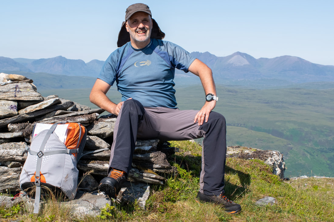
Summit selfie done on a 12 second shutter delay. By the way, the BUFF Zinc Bimini Cap is excellent for hot weather.
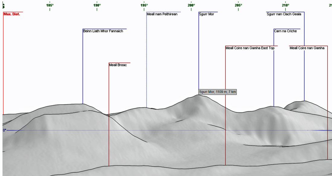
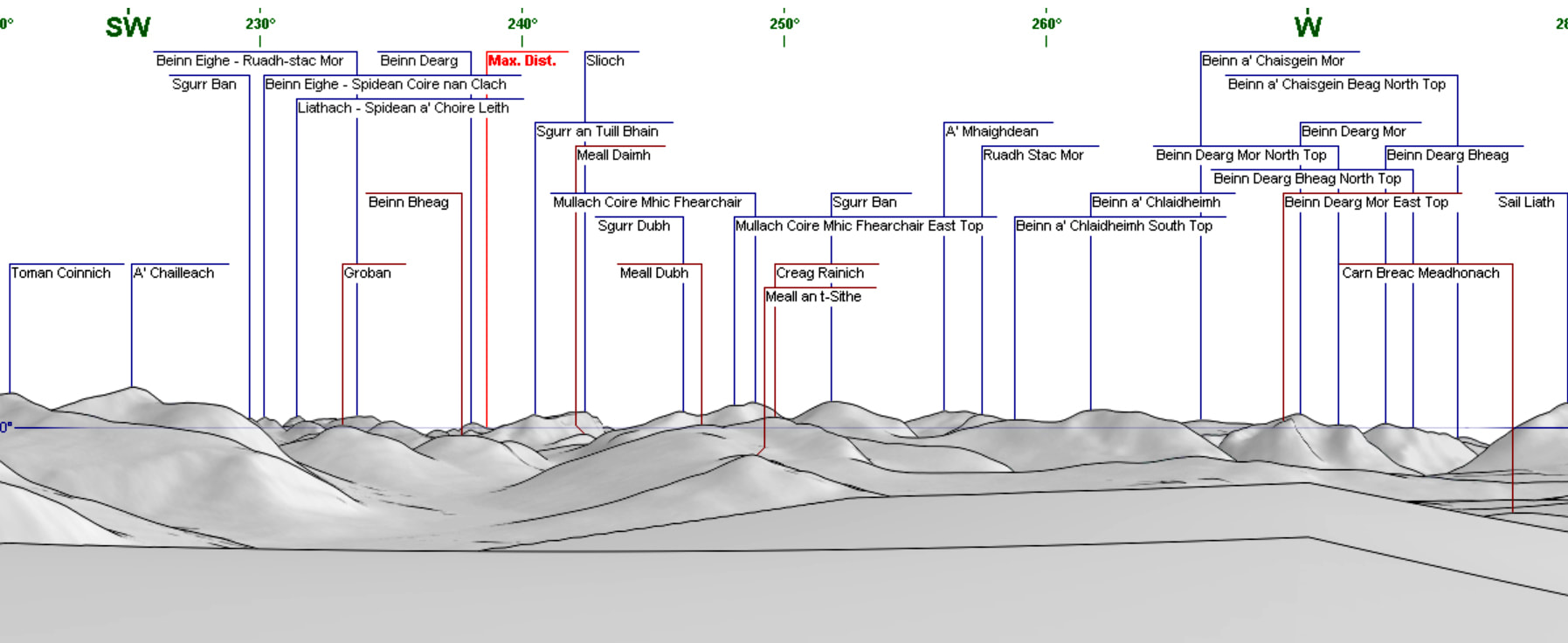
How many Munros and Corbetts can you pick out? See the diagram below to check your answers.
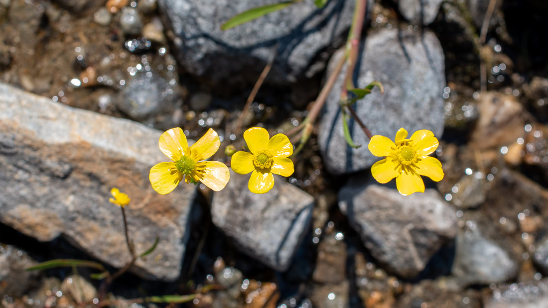
I originally thought tormentil, Potentilla erecta? Maybe some type of buttercup? Apparently tormentil has 4 petals whereas buttercups have 5. Probably Lesser Spearwort, Ranunculus Flammula, which is a type of buttercup.
Meall Doire Faid, An Teallach, Beinn Enaiglar.
Fannichs distant left, Meall Doire Faid centre and Beinn Enaiglar right.
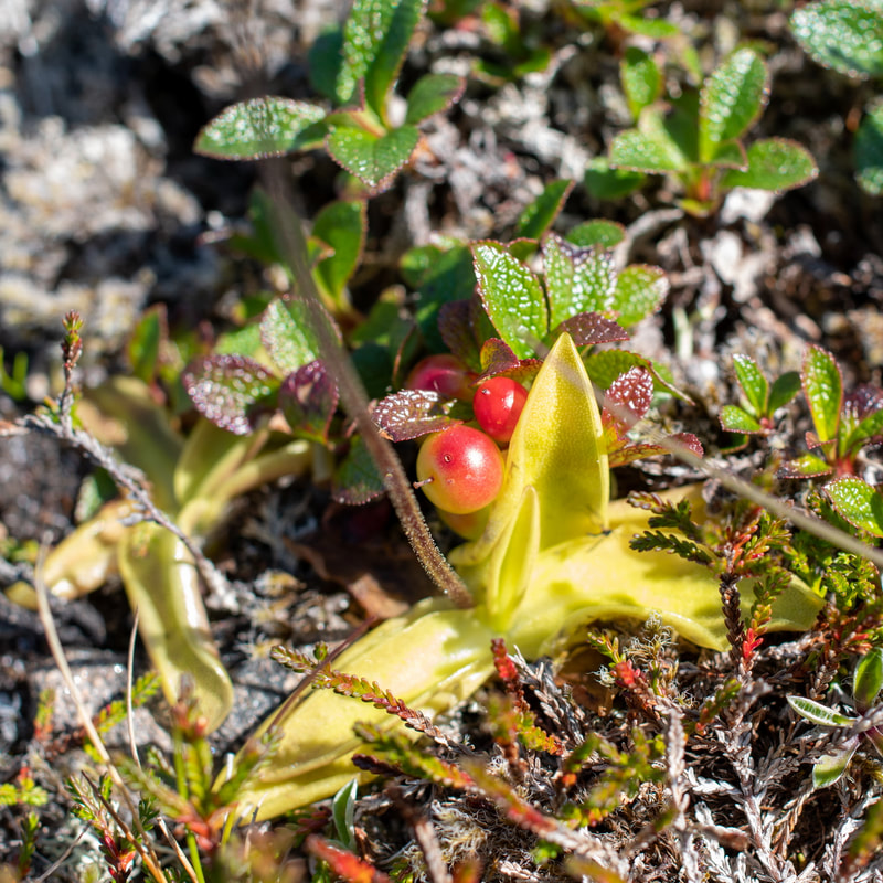
Cowberries
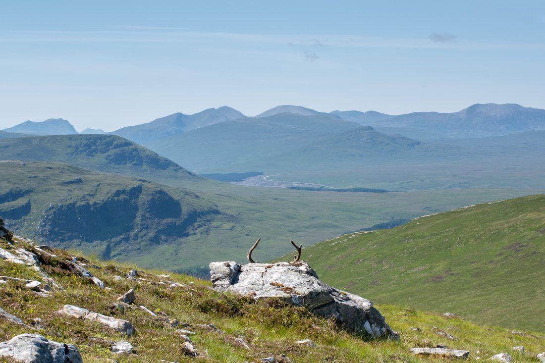
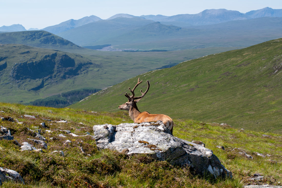
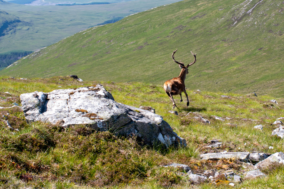
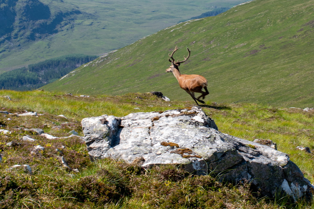
On Meall Leacachain, I saw a strange rock with antlers! The sounds of my camera caused the true owner to flee!
From Meall Leacachain towards Beinn Dearg.
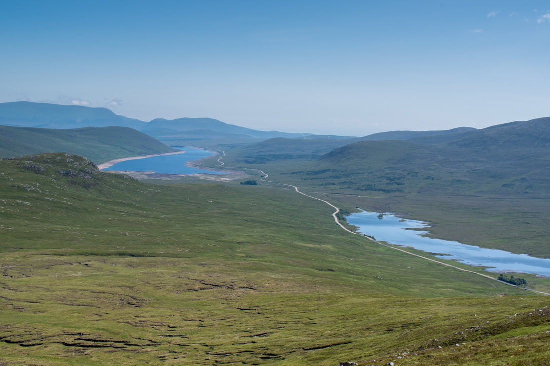
Looking east with Loch Droma right and Loch Glascarnoch left. Ben Wyvis and Little Wyvis are beyond Loch Glascarnoch.
The full circuit given here makes a proper day of things and definitely added to the enjoyment, while still returning feeling reasonably fresh and strong. However, the orange juice and lemonade with ice at the Aultguish Inn did go down my neck rather quickly!

