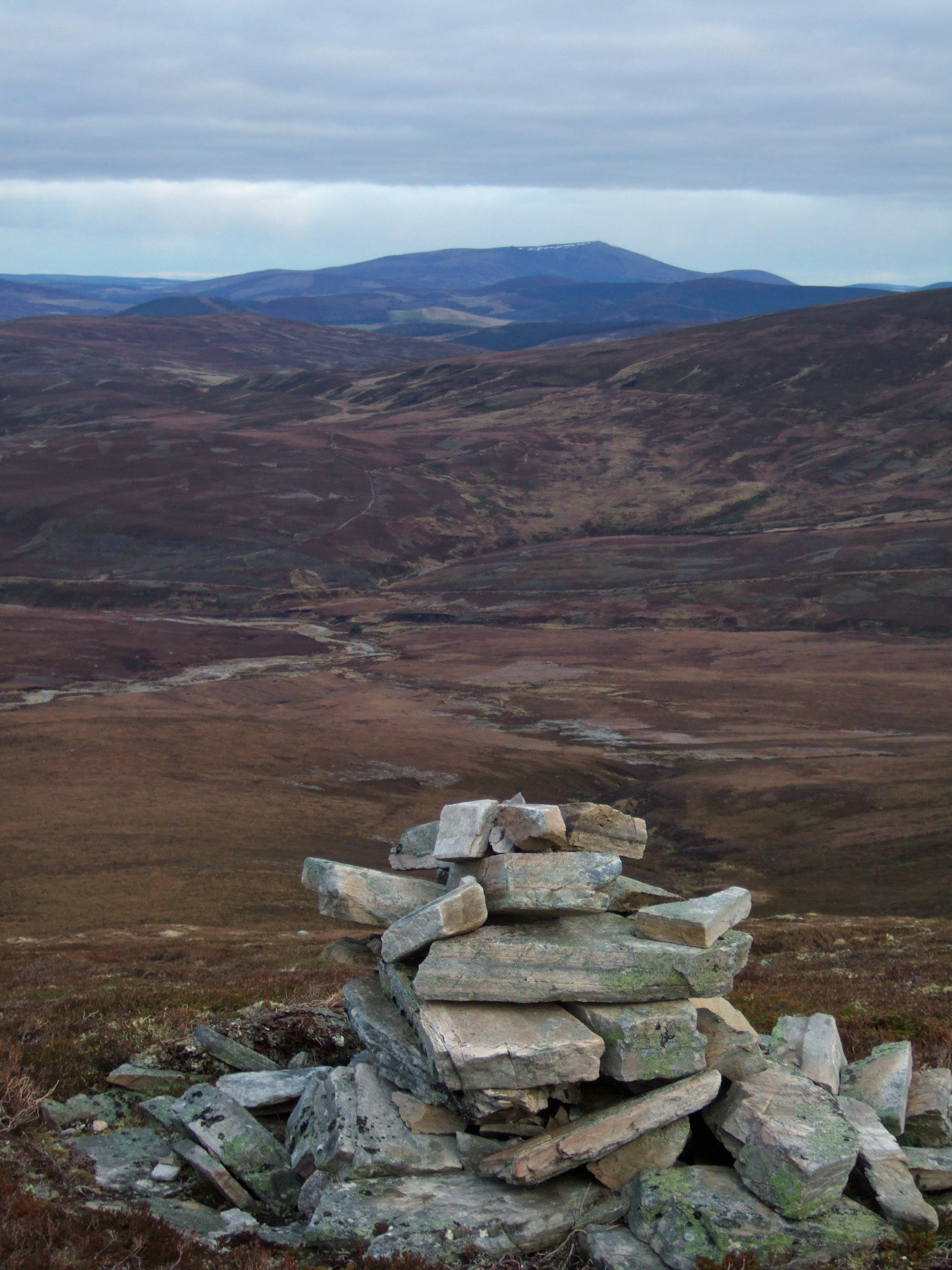
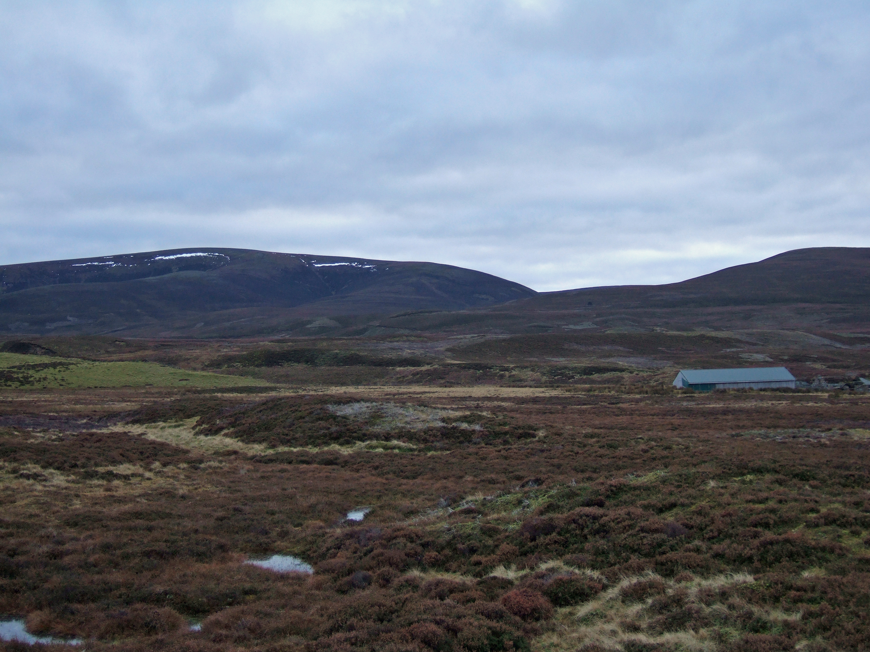
Above: Ben Avon and Beinn A'Bhuird from the summit of Geal Charn.
Geal Charn (Abernethy)
MunrosNone
|
CorbettsGeal Charn
|
GrahamsNone
|
BothiesNone
|
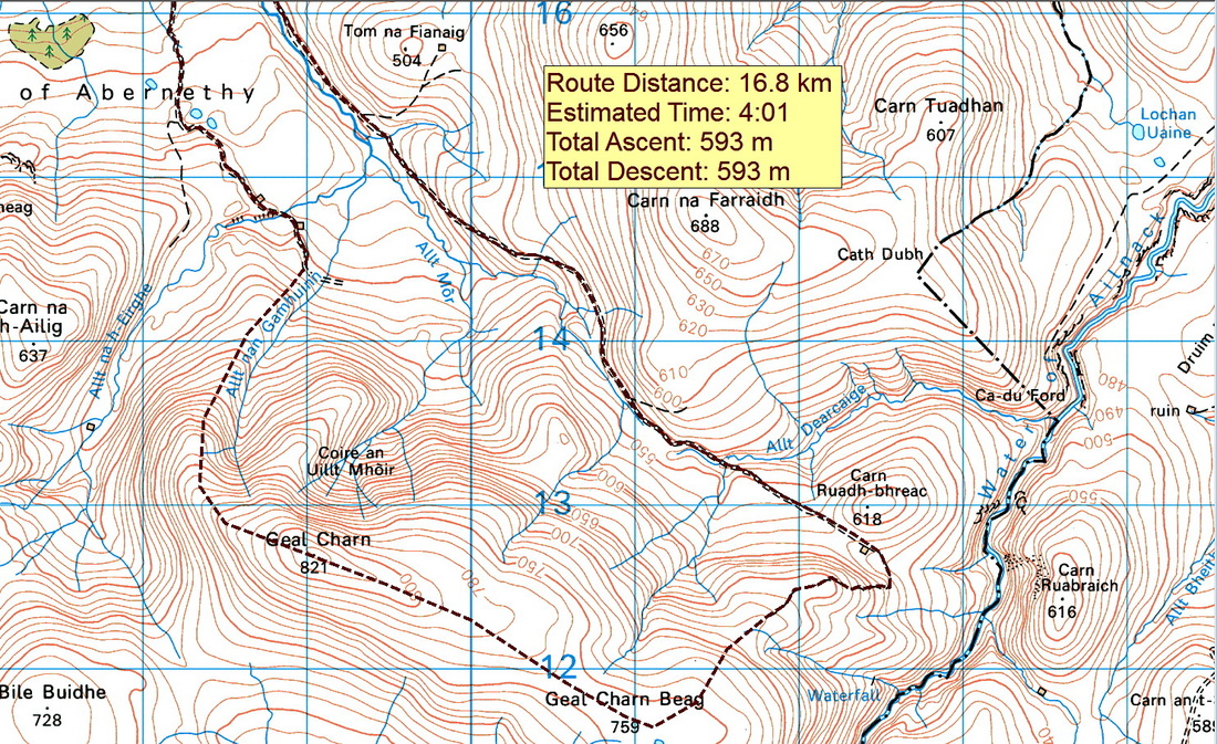
Distance/Ascent17km 593m
|
Estimated Time4h 40min
|
NotesIt should be possible to park carefully without obstructing the turning circle in any way.
The road continues as a track to Dorback Lodge; ignore this and instead take the fainter track which climbs to the right beside the fence to head through a gate. |
Parking |
3 December 2016
Geal Charn is a hill that Walkhighland users rate as 2.3 stars. It is not very mountainous in nature but I feel that it has much to offer, especially if the longer circuit detailed here is followed. In the Yorkshire Dales or North York Moors, a hill like this would be of a much higher status and far more popular. In fact, this route over grouse moors seemed quite similar to some of my days in the Pennines. I suspect that people's opinion of this hill is influenced by the fact that they have chosen it as a bad weather alternative, so they are not experiencing it at its best.
I have to say that I really enjoyed this hill and the following day on Brown Cow Hill. Any bits of peat hag were frozen making it easy to skip across them. The summit was clear of cloud and the wind speed was low enough to allow a 30 minute stop at the summit cairn. November's snow had melted and I half walked, half ran the route in fell shoes.
Part of my decision to wear fell shoes was due to I knew that I was going to have to cross a burn without a bridge (the one marked on the map does not exist). If I am to have wet feet, I prefer wet running shoes, through which the water can drain, than wet boots. As it was, I could leap across a narrow part of the burn and my feet became no more than a little damp all day.
Having crossed the burn, I headed for the old farm house at Upper Dell. I survey buildings like this for their potential as bothies. I would heed the "DANGEROUS STRUCTURE PLEASE KEEP OUT" signs, but with the necessary work, it could make a nice bothy.
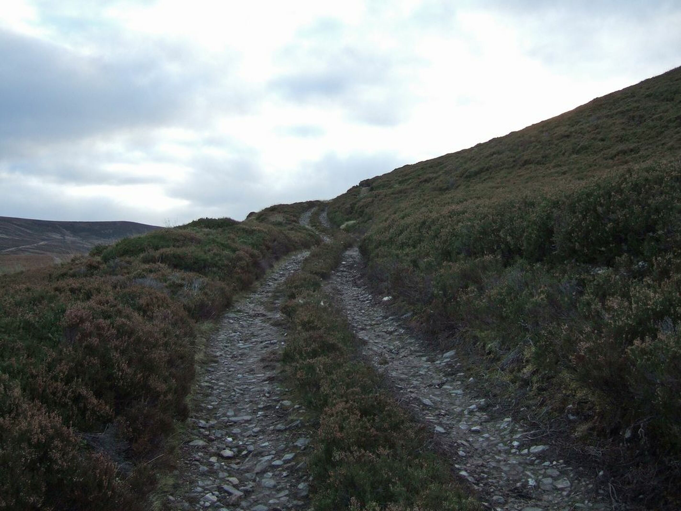
Heading up behind the farmhouse, there is a good track heading up the glen, gently gaining height. It passes past a couple of shelters before reaching a small path heading up the northern spur of Geal Charn. The start of the path is marked by a small cairn.
The path is easily followed up to a cairn. This is a good place to look back at Ben Rinnes.
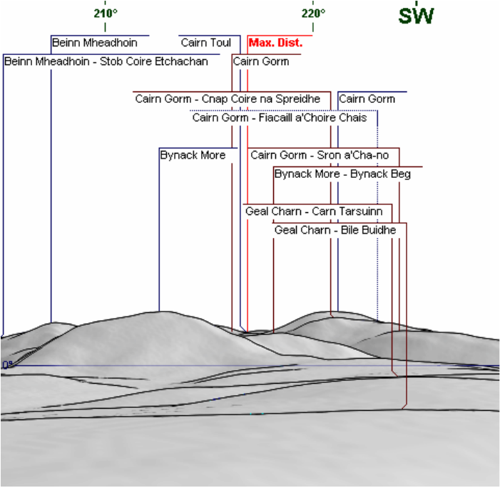
The path continues through short heather and as height is gained, gives fine views towards Bynack More and Cairn Gorm
The summit is marked by a good sized cairn containing some large quartz blocks.
I had calibrated the altimeter on my watch at the start of the walk. The official height of Geal Charn is 821 metres so the reading on my watch is quite impressive!
I remained on the summit for about 30mins, enjoying warm soup and taking photographs.
Heading off, I followed an electric fence. I'm not sure why an electric fence is necessary. I would have thought that red deer would be able toclear it, so presumably, it is to retain the sheep. I wonder how long it will remain. I did not test it to see if it was turned on! Certainly, someone has gone to a lot of effort and expense to put it there.
Heading off, I followed an electric fence. I'm not sure why an electric fence is necessary. I would have thought that red deer would be able toclear it, so presumably, it is to retain the sheep. I wonder how long it will remain. I did not test it to see if it was turned on! Certainly, someone has gone to a lot of effort and expense to put it there.
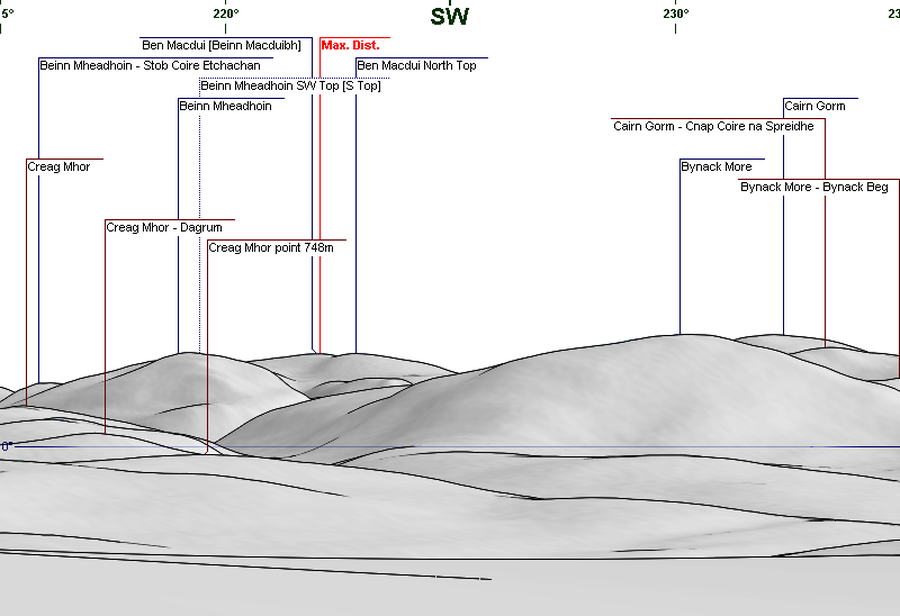
Continuing southwards, Beinn Mheadhoin came into view as well as the distant Ben Macdui.
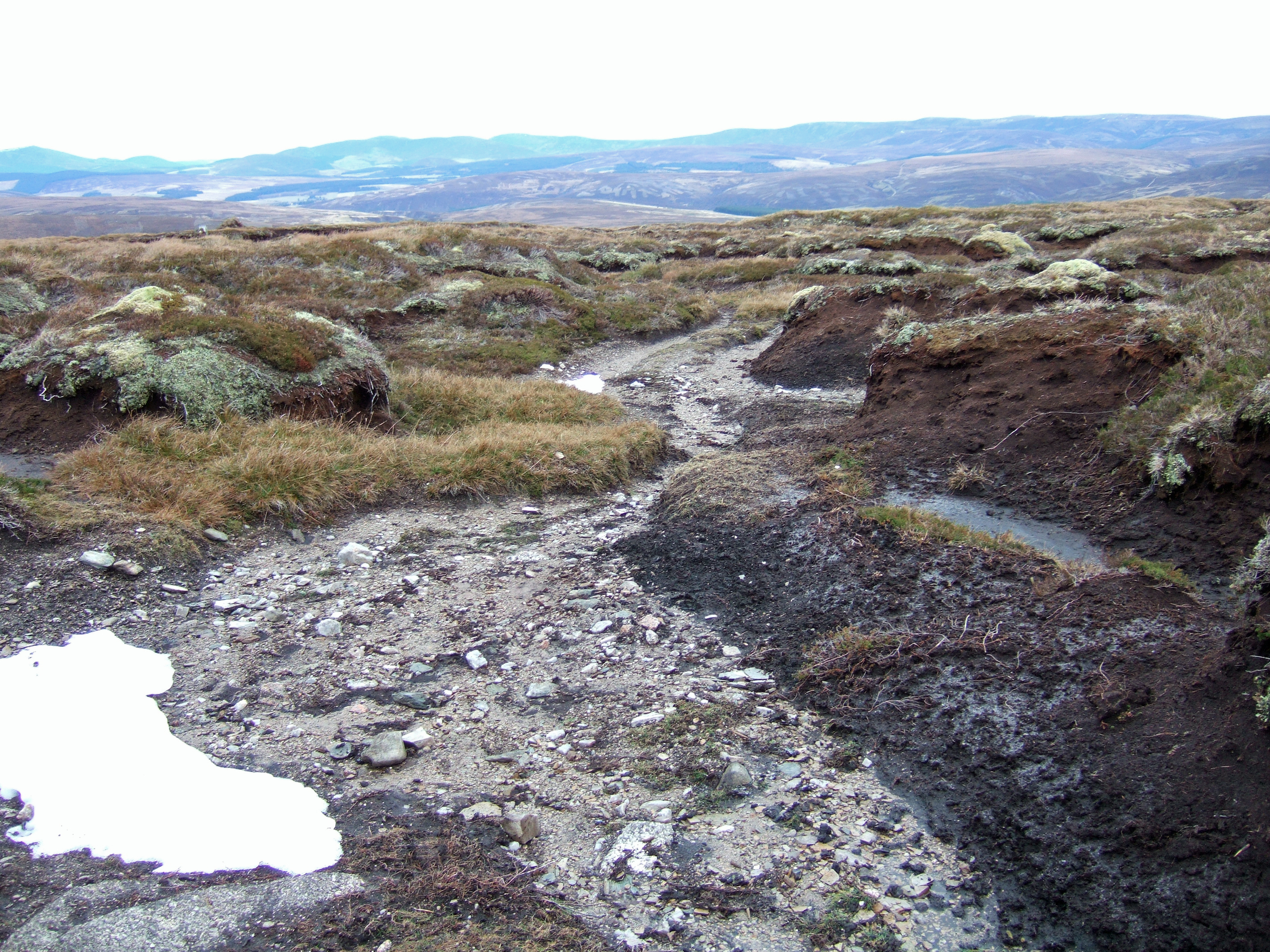
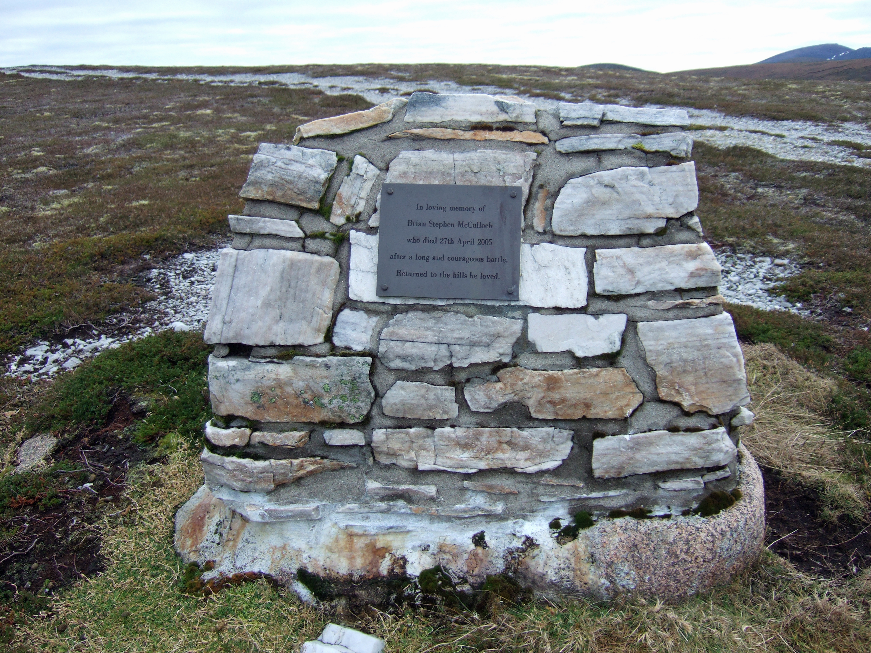
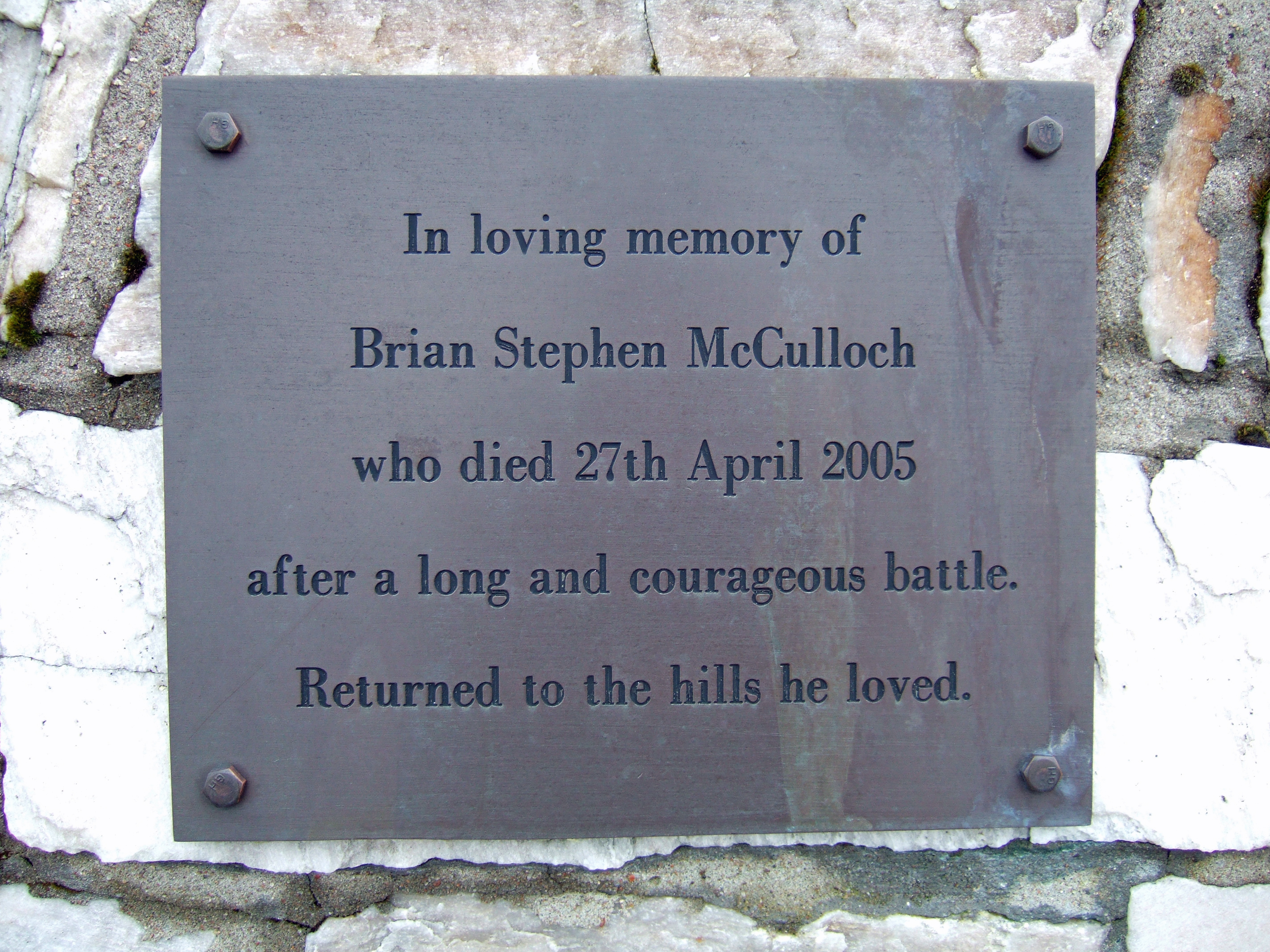
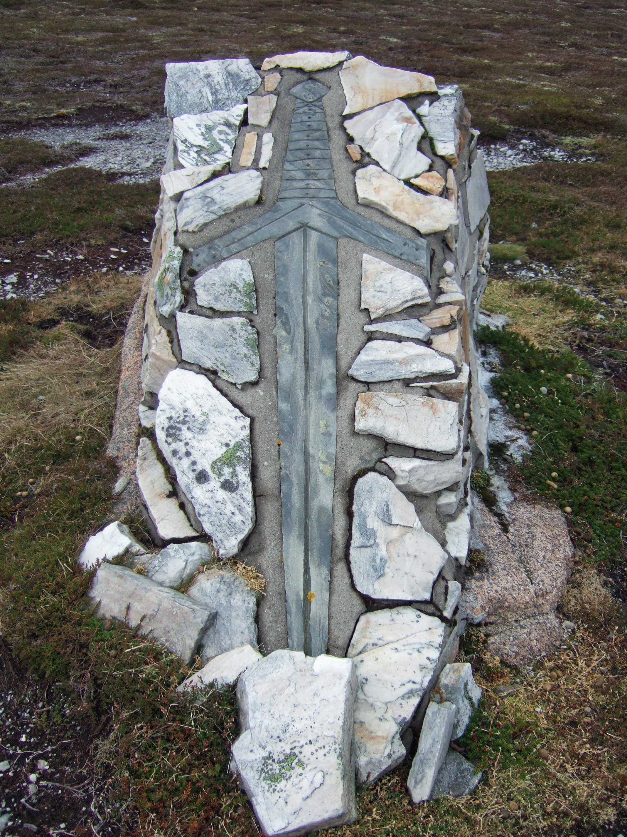
Turning north-east, I picked up a path which led to a track. The firm and dry surface meant a pleasant jog and good progress to a memorial. I am generally unhappy about memorials on the hill, but this is in a quiet corner and very tastefully done. I assume that the man's ashes are within the tomb.
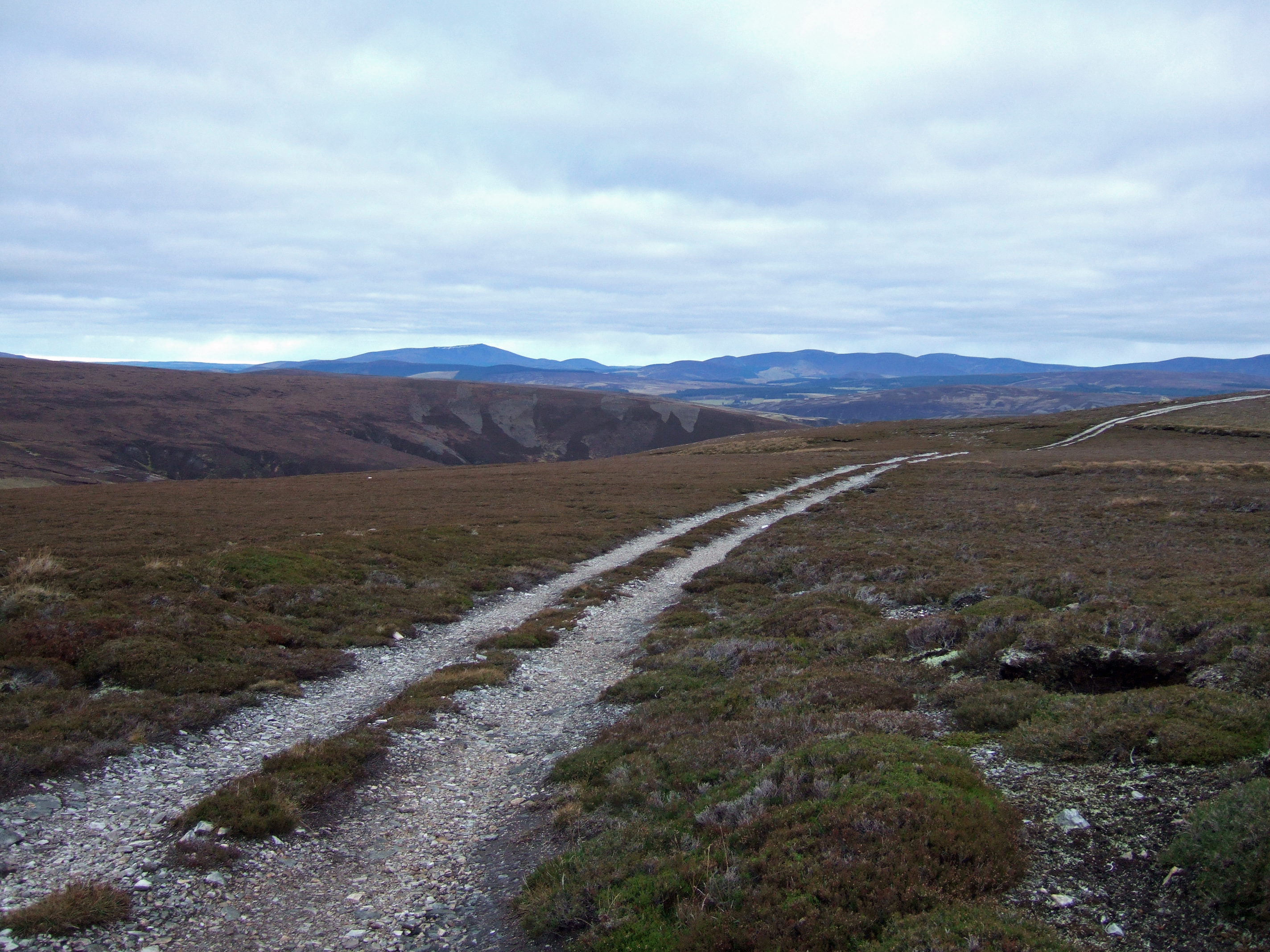
Looking SSE towards Ben Avon and Beinn A'Bhuird.
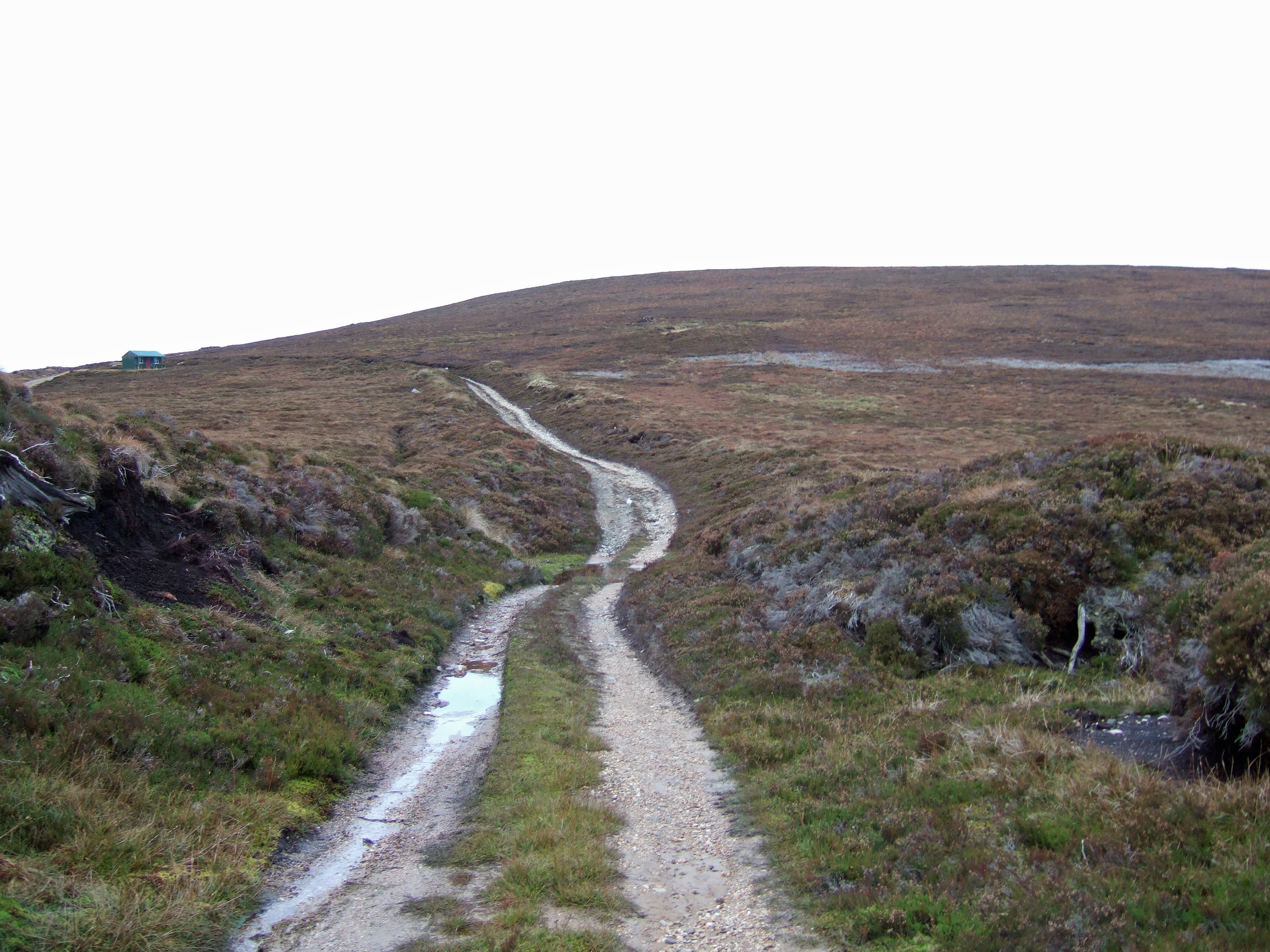
The track eventually leads to an unlocked shooting hut, providing suitable shelter for a final food stop ahead of the run down the track to Dorback Lodge. The track is quite sandy making a very pleasant running surface.
Extending the route to visit the tomb and checking out the little wooden bothy added to the interest and made for very easy going. This was a very pleasant and satisfying day worth much more than 2.3 stars - I would give it ****!

