Binnein an Fhidhleir
MunrosNone
|
CorbettsBinnein an Fhidhleir
|
GrahamsNone
|
None
|
|
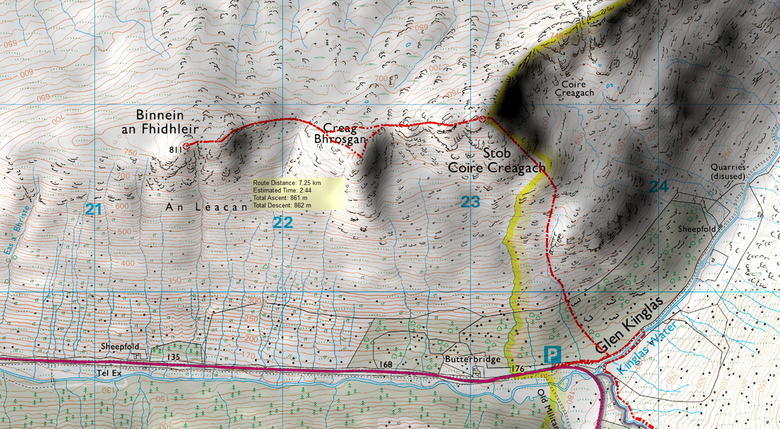
8km 862m
|
Estimated Time4h 30min
|
NotesI believe that Stob Coire Creagach replaced Binnein an Fhidhlier in 2006.
|
30 June 2018
I woke up to another fine day. The previous evening had been pleasant in the company of Jack and Lawrence. I hope our bothying paths cross again. As usual, I was first up and probably disturbed them as I pottered about the bothy. I left the bothy later than planned, cycled down the track to Butterbridge and headed for a second breakfast at the Rest and Be Thankful. Driving back to Butterbridge, I could see two walkers a little way up the hill. I set off up through the bracken and after a while came across one of the walkers. They had forgot their lunch. On reaching his female companion, I asked her whose responsibility was it to remember the lunch. She conceded that it was hers.
I plan my routes years in advance and had forgot which top was the Corbett. Reference to my own website beforehand would have added some clarification to the issue! The Corbett is in fact the eastern top called Stob coire Creagach. The ascent is strenuous and involves climbing steep vegetation between broken crags. Reaching the small cairn is rewarded with fine views, especially to the south and east.
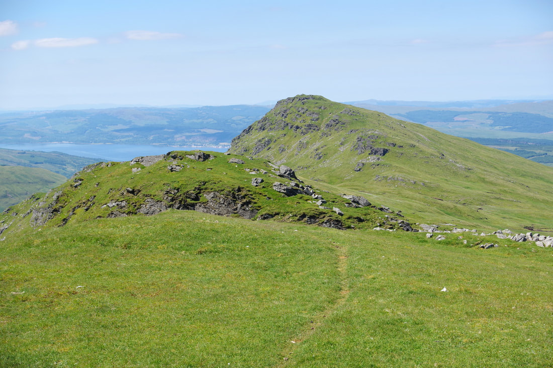
Even though Binnein an Fhidhleir is no longer the Corbett, it feels like the more important peak as it is crowned by a triangulation pillar. The walk between uses a faint path, providing easy walking.
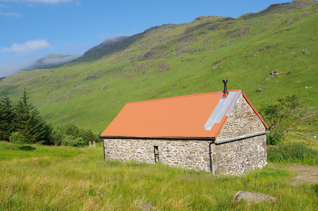
If viewed full size, it is just possible to make out the red roof of Abyssinia. As can be seen here, it would make a good base for an ascent of Ben Vane and possibly as an alternative approach to Ben Vorich.
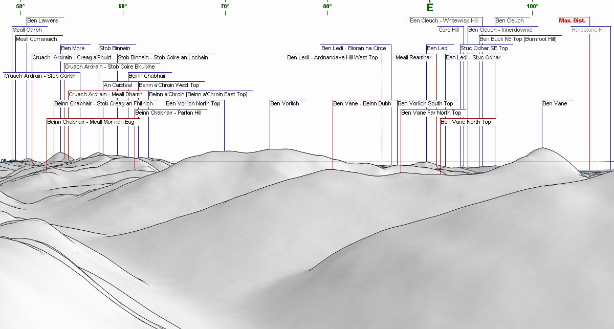
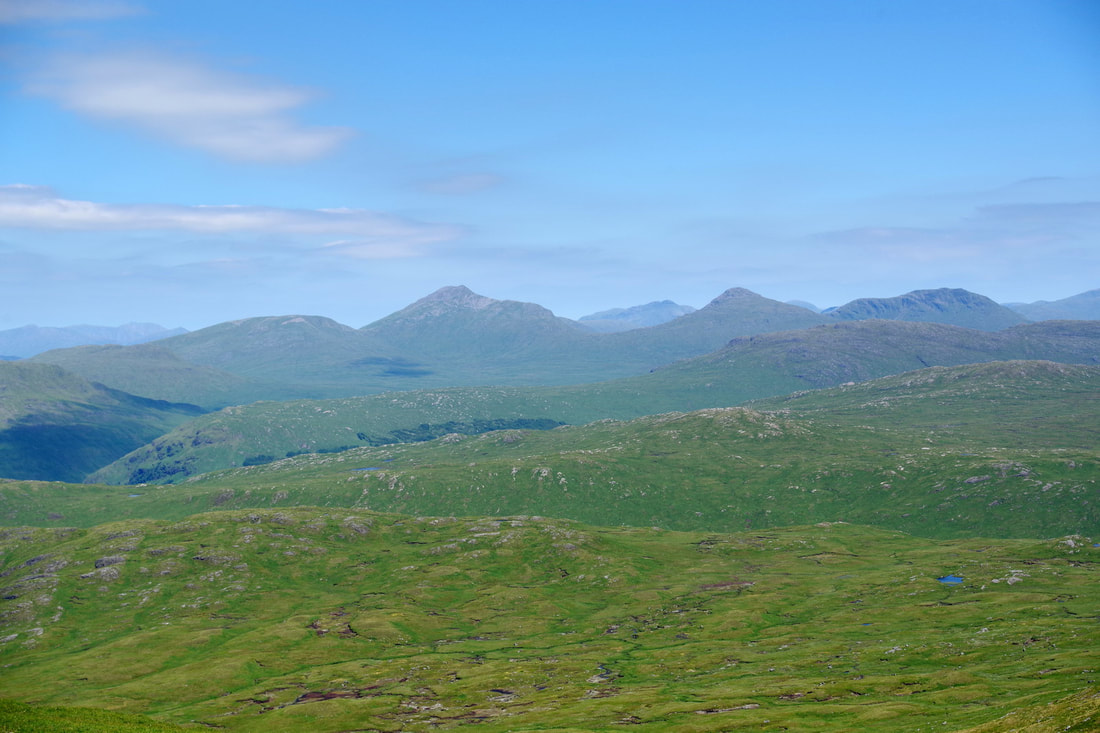
Looking towards the Ben Lui range.
The view to Butterbridge and surrounding hills taken from Binnein an Fhidhleir.
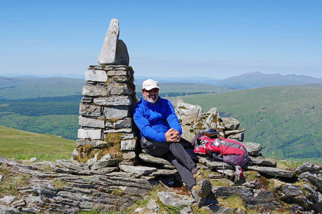
Binnein an Fhidhleir summit trig point.
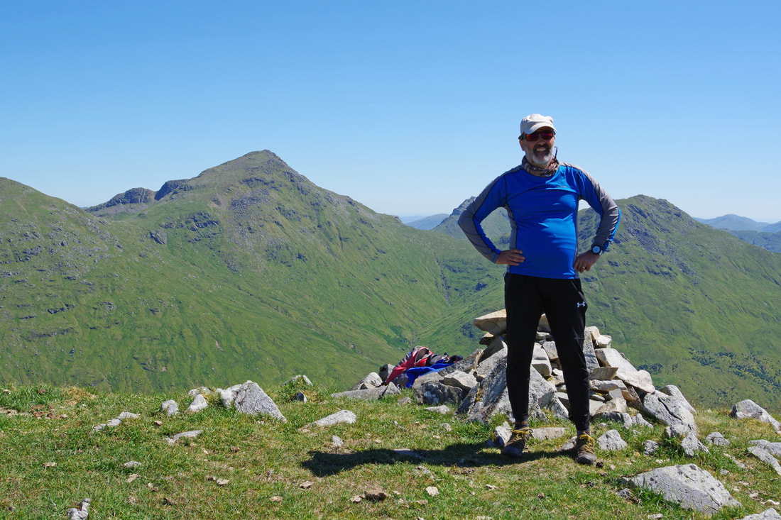
Back to Stob coire Creagach. Notice the buff around he neck and long sleeves to avoid further sunburn!
To avoid a descent down steep vegetation and having to avoid the numerous rock outcrops, I descended down the NE ridge to around 720m before descending (still steeply) and contouring to join the blunt SE ridge lower down.

