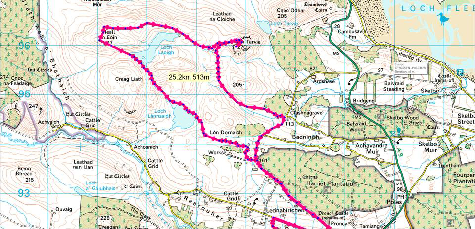
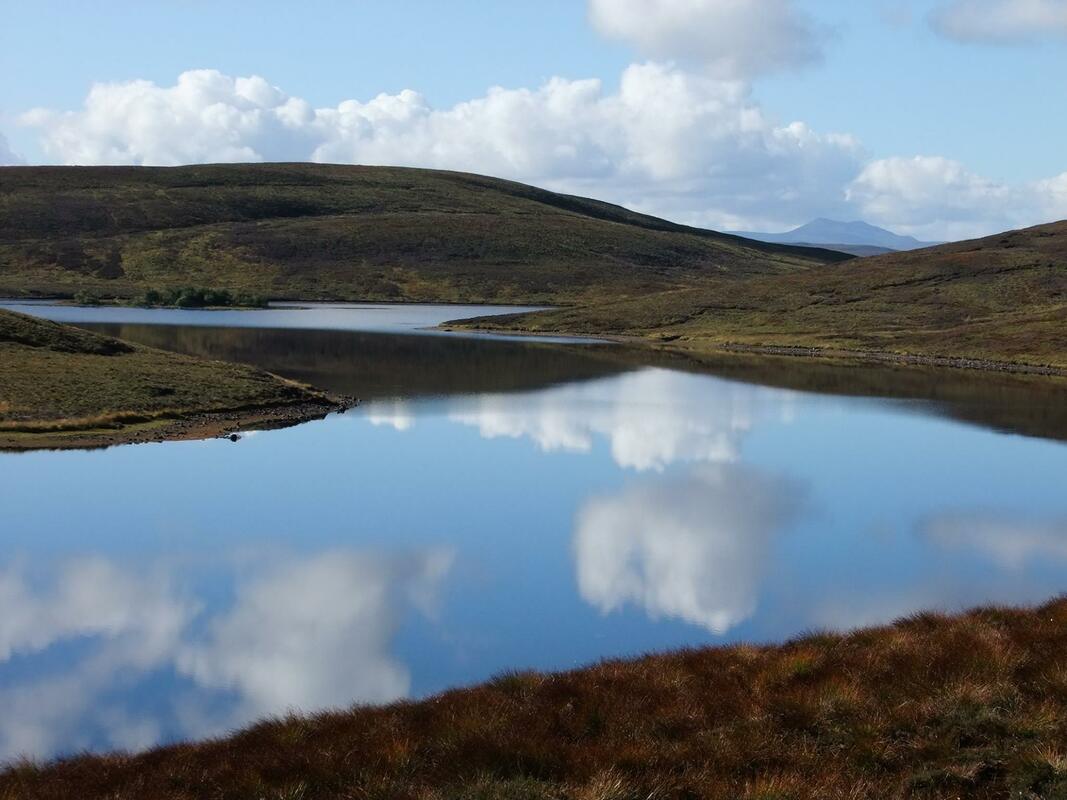
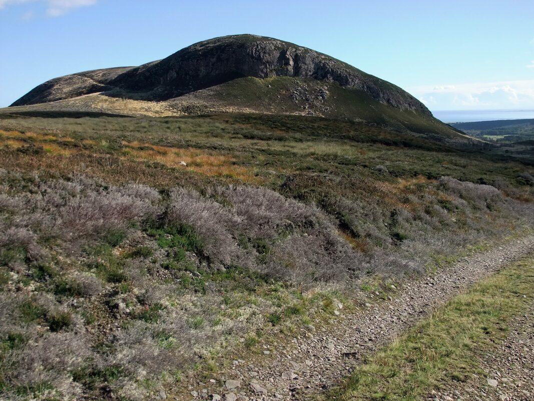
Ben Tarvie is sticking up to the left. Loch Laoigh is like a mirror!
Distance/Ascent25 km 513m
|
Estimated Time4h 00min
|
NotesBen Tarvie does not appear on any lists due to insufficient drop.
|
ParkingSlioch (my driveway!)
|
1 October 2016
As I looked out the window during breakfast, looking out at a glorious morning, I felt the urge to go and do something. Too many good days are wasted through my work commitments, but this was a Saturday, so I was "free" to explore; that is, provided my wife agreed!
I had viewed Ben Tarvie from the south-west end of Loch Lannsaidh on a number of occasions. This gives a view of its craggy side and gave the hill more of a mountainous look to it, even though it is only 270 metres and does not appear on any hill lists due to insufficient drop from higher hills, it's parent peak (Sub2000) being Beinn Domhnaill, approximately 6.5km to the east. Ben Tarvie has a more striking appearance than it's parent peak and offers the be prospect of better views of the east coast.
I had viewed Ben Tarvie from the south-west end of Loch Lannsaidh on a number of occasions. This gives a view of its craggy side and gave the hill more of a mountainous look to it, even though it is only 270 metres and does not appear on any hill lists due to insufficient drop from higher hills, it's parent peak (Sub2000) being Beinn Domhnaill, approximately 6.5km to the east. Ben Tarvie has a more striking appearance than it's parent peak and offers the be prospect of better views of the east coast.
It was interesting to explore the lanes which I have not explored in the car and gaining height gave views across the Dornoch Firth to the Graham, Beinn Tharsuinn.
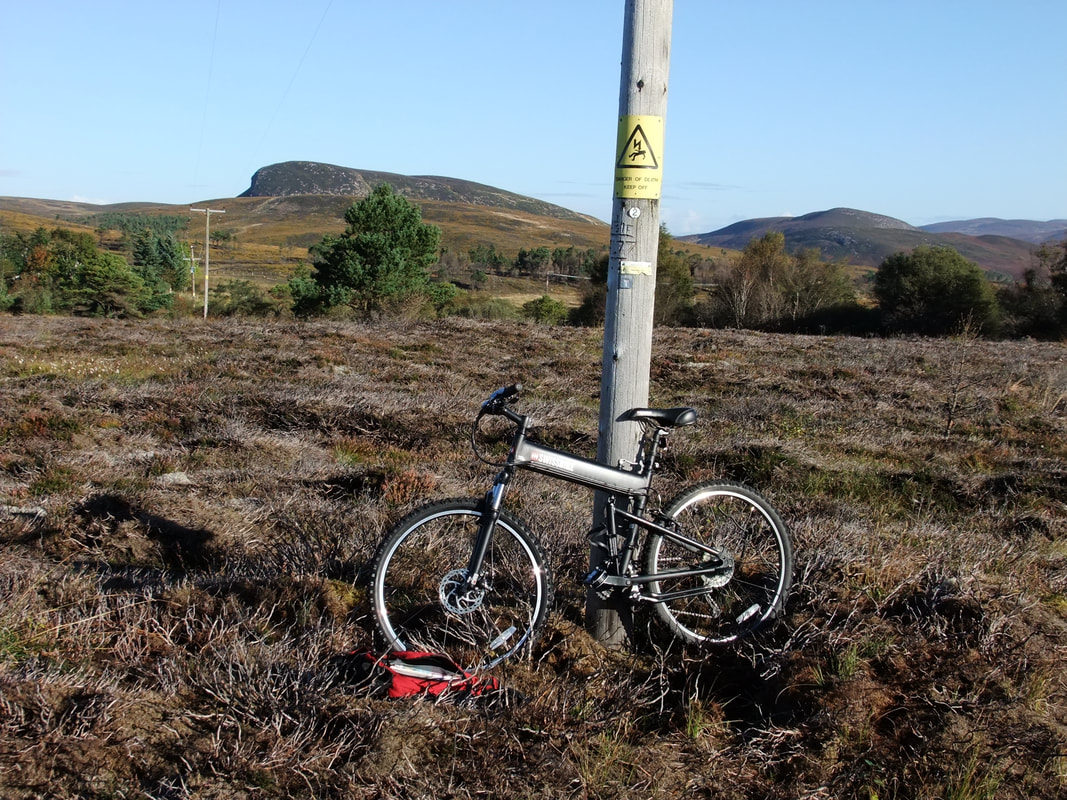
I could have included Ben Tarvie in one of my training runs from home but decided to make things a little easier and more varied by setting off from home on my bike and parking it against a telegraph pole just off the track to the water filtration works.
I ran to Loch Lannsaidh (would make a nice picnic spot with a picnic table in situ!) and continued up the track to Loch Laoigh with its forbidden island. I assume that this is a nesting site for divers, having seen one on the lower Loch Lannsaidh earlier.
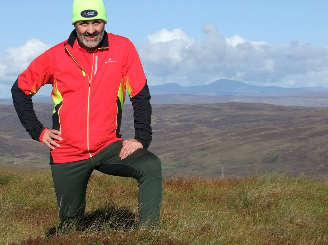
I headed up pathless terrain towards Meall an Eoin. On reaching a small boulder, I took the opportunity to set up my Gorillapod and take the day's first selfie. Beinn Tharsuinn (Graham), with its windmills is seen left, with Carn Chuinneag (Corbett) and Carn Salachaidh (Graham) to the right.
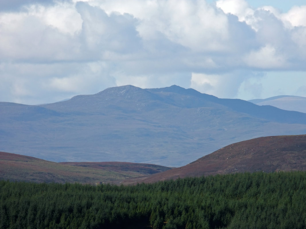
Carn Salachaidh zoomed in - looking at it here elevates it in my "to do" list.
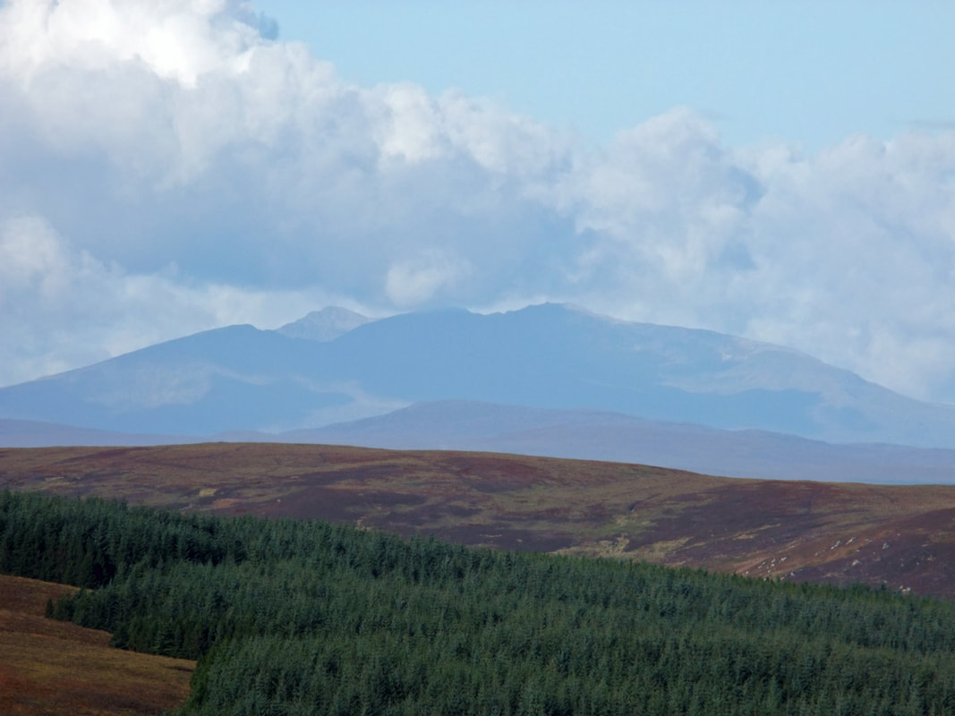
Maximum zoom (435mm equivalent) photograph of Conival and Ben More Assynt (approximately 50km away).
The summit of Meall an Eoin with Ben Klibreck in the distance (approximately 35km away).
The route dropped back down to Loch Laoigh, Carn Salachaidh seen in the distance right.
I joined a track for a short way as I headed towards the western crags of Ben Tarvie.
The approach to Ben Tarvie was very rough going. There is a visible track going diagonally up left below the crags but rockfalls have obliterated the lower part of the track. I did not follow the track but chose to head up more directly to the small summit cairn.
Left to right: Ben Horn, Beinn Lunndaidh, Ben Bhraggie, Loch Fleet and the North Sea.
Left to right: Ben Horn, Beinn Lunndaidh, Ben Bhraggie, Loch Fleet and the North Sea.
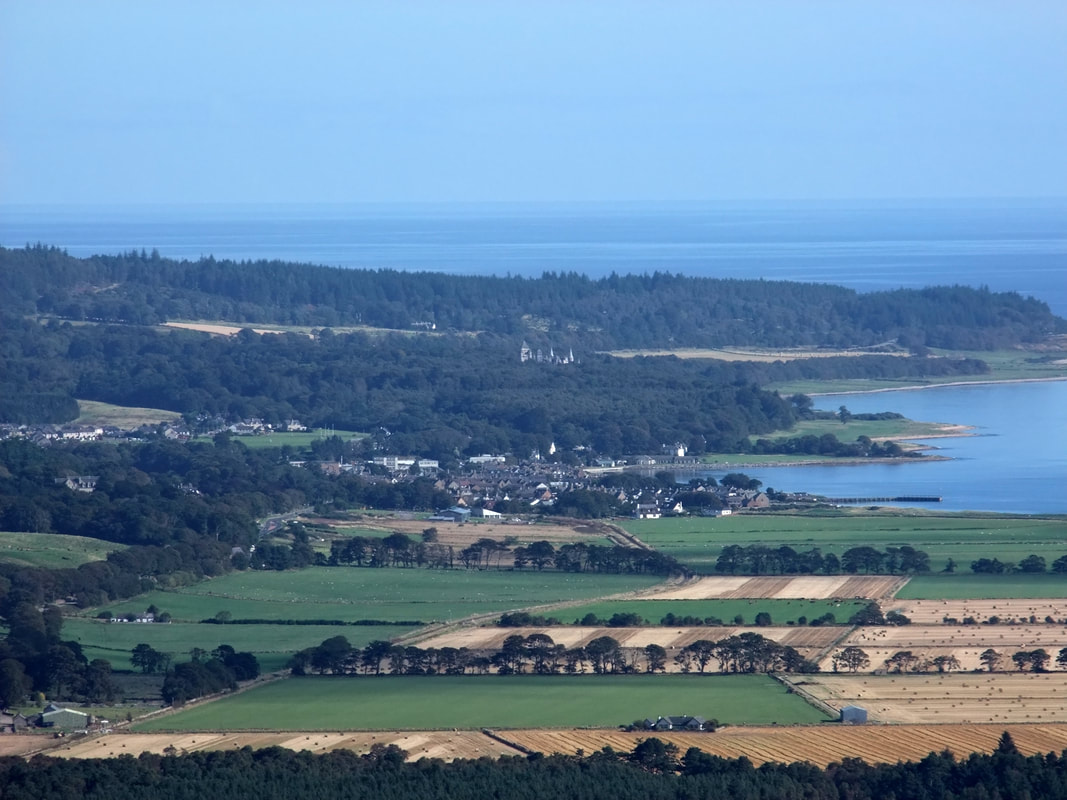
Zoomed in to Golspie and Dunrobin Castle.
Looking north to Ben Klibreck, Creag Mhor, Ben Armine, Ben Griam Mor and Ben Griam Beg.
Similar view of Ben Klibreck, Creag Mhor and Ben Armine.
Looking quite sporty for a 53 year old; amazing what a new running jacket can do! Ben Horn, Beinn Lunndaidh and Ben Bhraggie in the distance with the Marylin, Creag an Amalaidh to the left of my right elbow.
I headed back down to the track and to the public road, jogging back to my bike and then enjoying an exhilarating downhill ride back home. It is wonderful to be able to enjoy a short day on the hill without the need to start the car!

