Beinn Trilleachan
Distance/Ascent28km 1267m
|
Estimated Time9h 30min (From Cadderlie)
|
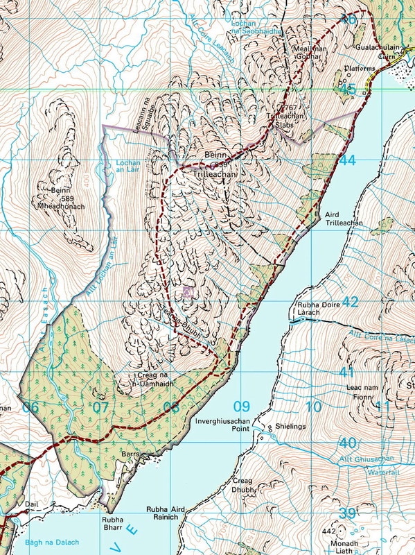
NotesI climbed Spartan Slab VS 4c in 1991 but never went to the top of Beinn Trilleachan. I would like a more direct approach to the hill but I am not sure that I will be able to fine a way up through the trees. The route shown may be more interesting - in either direction. The bike ride from Bonawe to Cadderlie is about 7km.
|
Start |
The route below is a variant that goes up through the forest rather than around it. On Google maps, it appears that the trees are young and therefore, it should be possible to find a way up. However, the trees will get bigger, making the approach harder. There are signs of a track to the top of the trees. If possible, this will take a slightly more direct line to the south ridge.
View Beinn Trilleachan in a larger map
10 April 2017
I first visited Beinn Trilleachan over 25 years ago. I climbed Spartan Slab VS 4c with my climbing mentor, Graham. As is often the case when climbing, we walked back down to our kit a the bottom of the slabs and did not continue to the summit of Beinn Trilleachan.
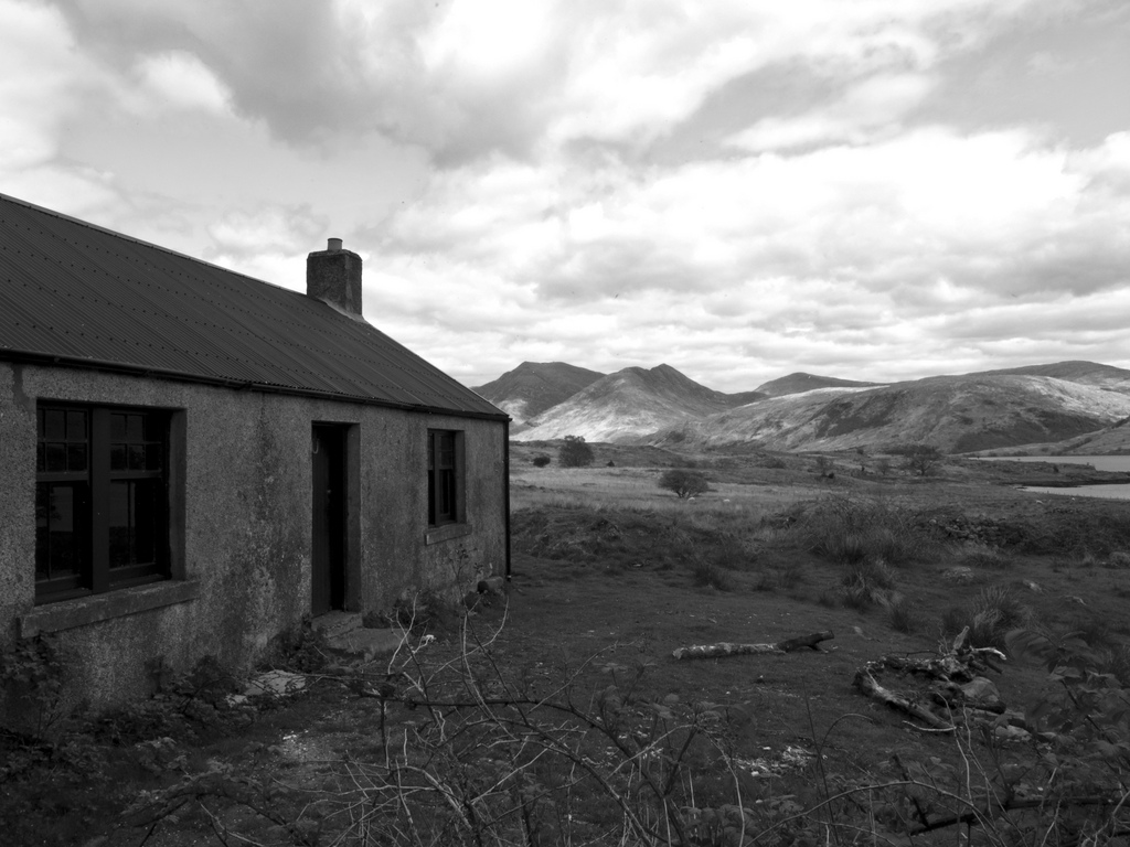
Never missing the opportunity to include a bothy in my approach to a hill, Cadderlie was the planned "basecamp". When I saw that a work party was coming up, I decided to give a day to the MBA and traverse Beinn Trilleachan the following day. Much to my shame, I arrived at the bothy as the main task of fitting the windows was being completed! Some use I was!
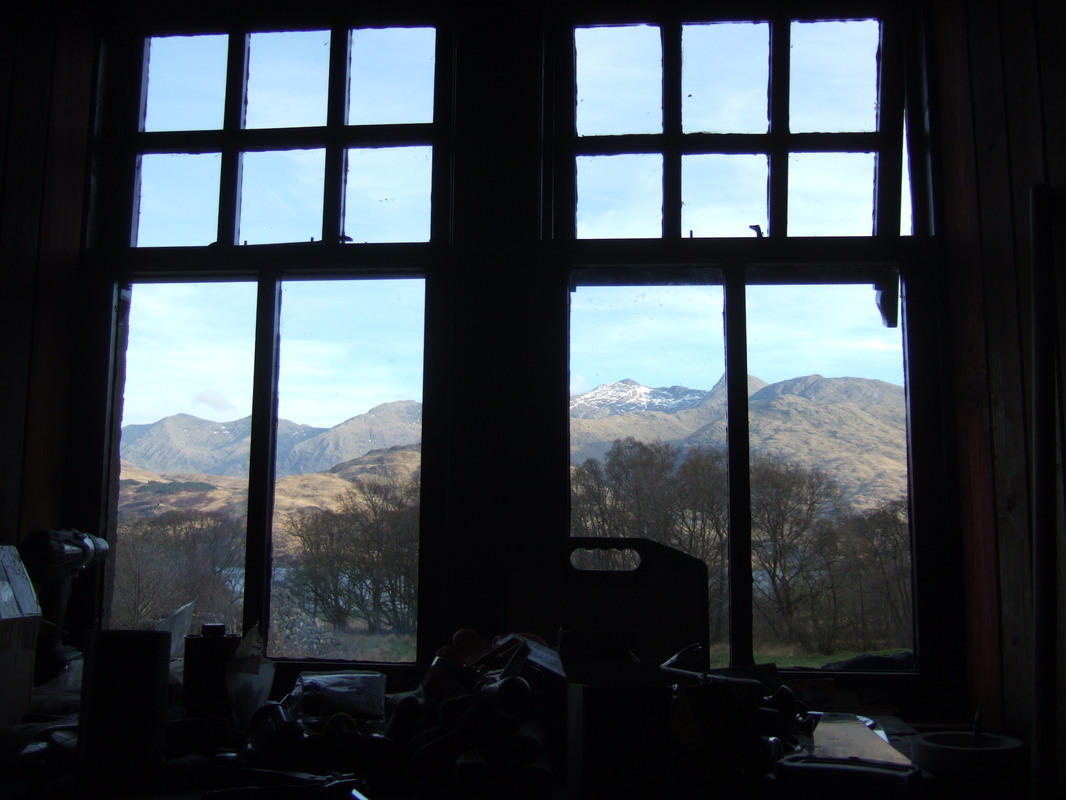
The original frames had rotted and the windows had been removed. The glass had been retained and used in the newly constructed windows, apparently with just two broken panes needing replacement.
The original frames had rotted and the windows had been removed. The glass had been retained and used in the newly constructed windows, apparently with just two broken panes needing replacement.
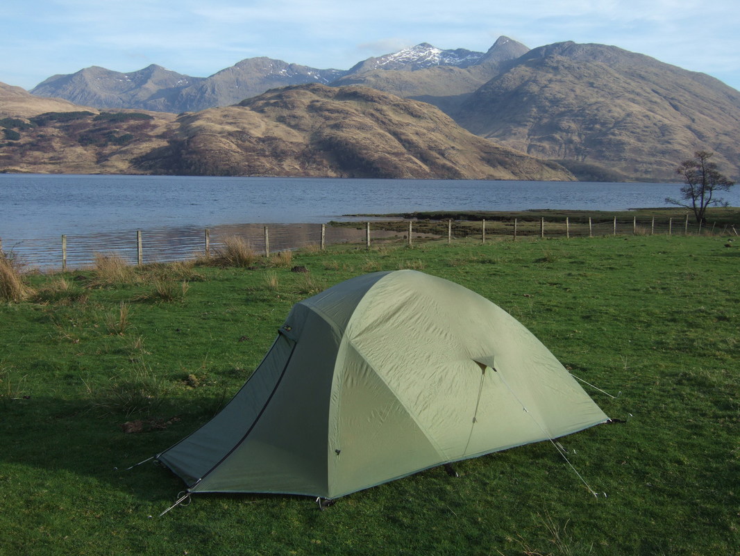
Saturday afternoon was glorious and I was happy to be pitching my 21 year old tent down by the loch. The fly now seems very crinkly and the tape has cracked and peeled from the seems, but it looked as though it was going to be good weather through the night. This Wild Country Trisar (pre-Terra-Nova) has been relegated to camping close to the car or near to a bothy as I no longer trust the fly in strong winds. UV degradation is invisible until a big tear appears. I love the tent however and it is great to enjoy a few more nights in it before it is relegated to being a play tent in the garden.
There was a good crowd in the bothy that evening, with the usual talk of politics, travels and the most controversial of topics ..... The Scottish Bothy Bible! For the uninitiated, this is not something left by Gideon's International, but a very informative and well illustrated guide to the open shelters of Scotland. Many are concerned about the amount of detail, claiming that it goes against the traditionally secretive nature of bothy culture and also concerned about the associated media attention that has accompanied the book (with the usual inaccuracies and ignorance that is to be expected from journalists). With regards to the MBA bothies, their locations have been readily available via the MBA website for some years.
Just in case you are wondering: Yes, I did buy a copy and I do feel that Geoff Allen has done a good job. I do not consider it to be exploiting the work of the MBA any more than writing a book on the holocaust is exploiting the victims of the gas chambers. A person has the right to write a book about anything they like, as long as it does not promote hatred or intolerance. Any writer deserves to be remunerated for their toil and effort.
Do we criticise the SMC for popularising the Munros (or Sir Hugh for that matter!)? Likewise, Wainwright in the Lake District? Books, TV, Munro maps and websites such as Walkhighlands have all contributed to increasing the trampling of the hills and the associated erosion.
I believe in education for all, health for all, sport for all.... hills for all and bothies for all! We, as walkers, climbers, kayakers etc should not become elitist or part of a secret circle.
Sunday saw more overcast weather, though the sun tried to break through.
I attended the Soutwest Highlands and Islands Area Meeting. Updates were given for each of the area's bothies and "The book that must not be named" by Lord Geoff Voldemort was again discussed at some length.
Once, all matters had been discussed, most headed off back to their cars, leaving just two of us behind. I moved my kit into the bothy. Someone had taken in a chainsaw and there was lots of firewood. The other remainer chose to stay in his tent for another night but provided pleasant company around the bothy fire.
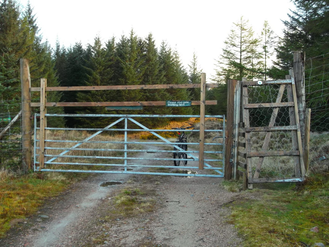
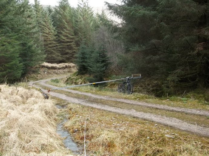
I was up early Monday morning and off around 0800. I headed off up the track on my bike, soon coming across a forestry gate with a side gate of an interesting self closing design.
As I continued along the track, the weather improved, giving fine views south. Beinn Eunaich/Beinn a' Cochuill (L) and Ben Cruachan. Beinn Mheadhonach is the Graham to the right.
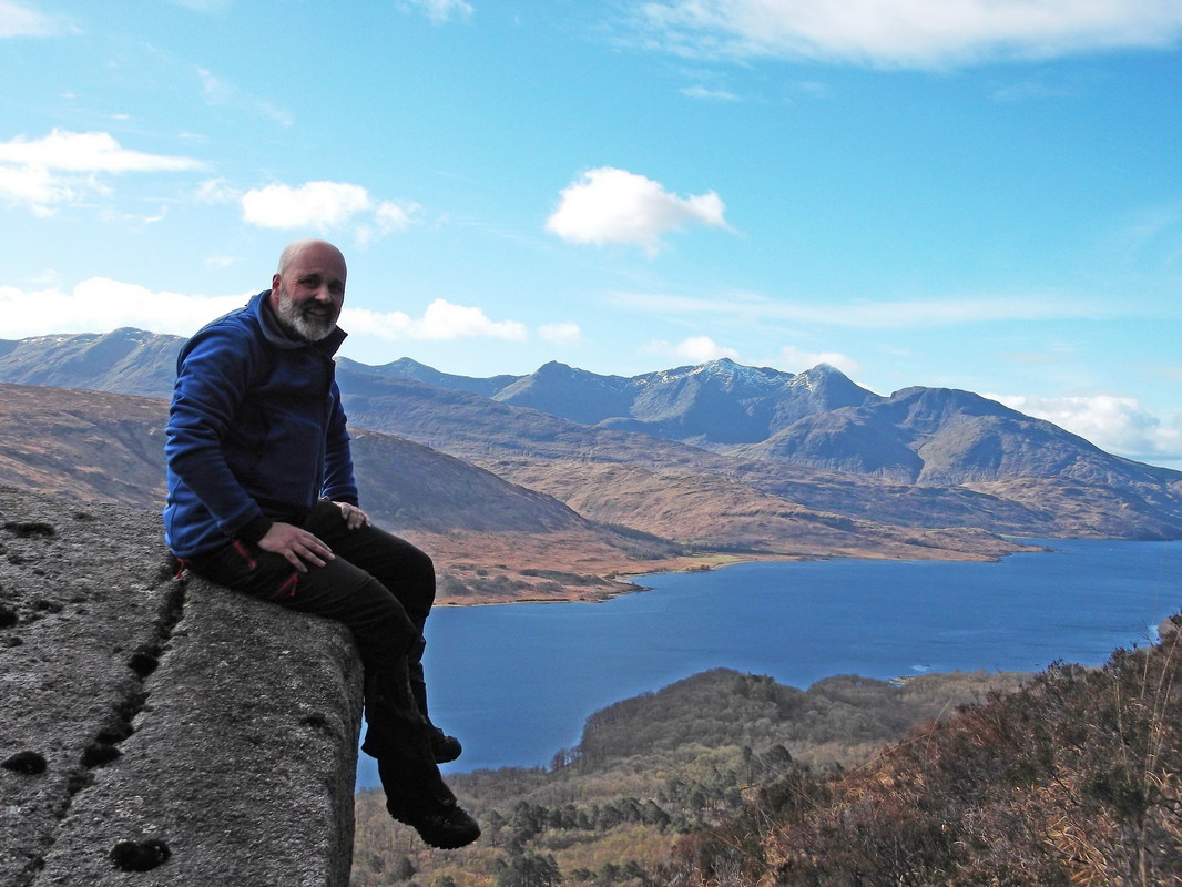
I was still undecided about my plan of attack. When cycling in to Cadderlie, I met a guy who talked about a good scramble up a gully which opens out into an amphitheatre with a rocky exit ridge up the centre. This appealed and my Harvey's map showed a clear gash in the mountain which I took to be the said gully. However, with the weather improving, I was keen to gain height sooner rather than later so I headed up to the left of another gully. I thought about entering the gully but there was not easy descent into it without dropping back down towards the loch. I did fine a large boulder, which seemed like an ideal resting place and a good place for a selfie.
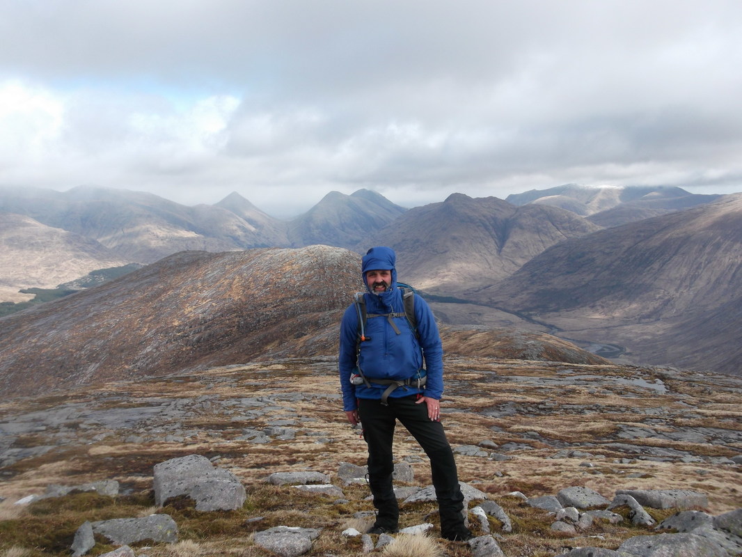
Eventually, I reached easier ground of a gentler gradient though there was a 6ft deer fence to climb. Looking back, I could see low cloud and signs of precipitation over Ben Cruachan so I pushed on. By the time I reached the summit, snow was being blown across and the large hills such as Bidian Ban Bian were capped in cloud. I tried to set up a selfie but the camera was blown over.
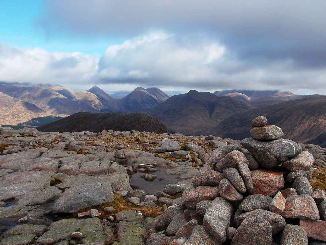
I did eventually manage to take a couple of selfies but I was not very pleased with them and this is a better shot taken a short way down the east ridge. The hills clear of cloud are Buachaille Etive Beag, Buachaille Etive Mor, Stob Dubh (Corbett).
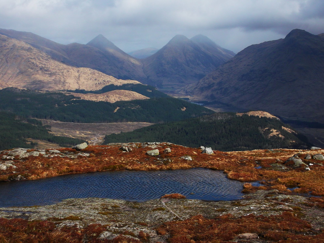
The route drops before climbing back up to a spot height of 767m (seen above). This lies directly above the Trilleachan Slabs. Heading down Meall nan Gabhar, there is a small lochan circa 610m.
The showers seemed to be blowing over and the tops of the higher peaks came into view. Beinn Fhionnlaidh left, Stob Coir' an Albannaich right. The top of Bidian nam Bian also visible left of centre.
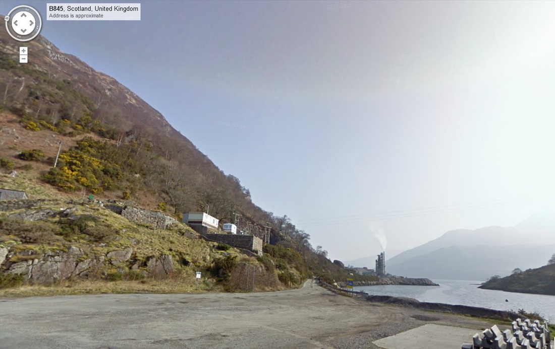
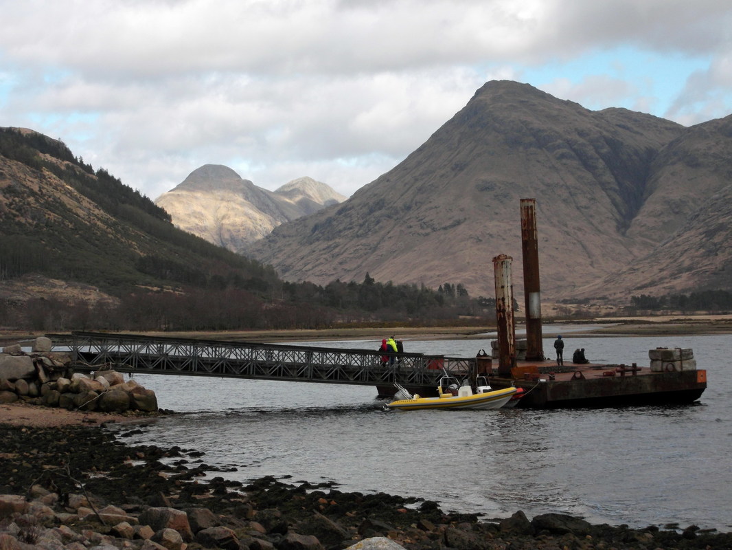
The head of Loch Etive is a relatively busy place and as I reached the rough road leading westwards beyond the gate, I greeted people good afternoon. The first edition of the SMC guide to THE CORBETTS AND OTHER SCOTTISH HILLS shows a view of Stob Dubh (p69) with the remains of an old jetty in the foreground. This has clearly been replaced by this pontoon. This is not a very pretty structure and the old rotting stanchions looked far more aesthetic, adding greatly to the photo in the book..
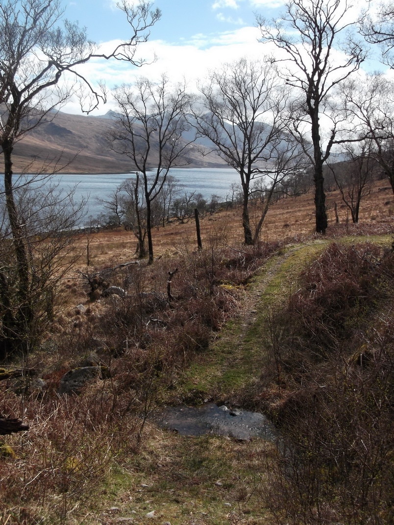
On reaching the pontoon and an ugly yard the path appears to have been diverted around the perimeter fence and continues as a wet path for some time before entering natural woodland, where it becomes firm and green. Choosing to traverse the mountain meant a long walk back along Loch Etive but from here onwards, it was an extremely pleasant walk with lots of bird life, including a wren and a spotted woodpecker (I did not get a good enough look to say if it was a greater spotted or lesser spotted).
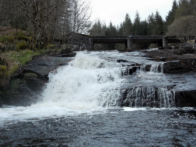
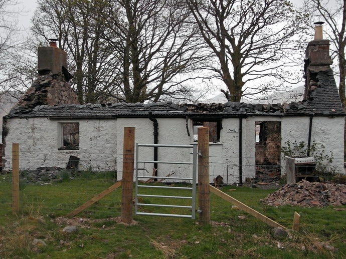
I had locked my bike to an open barrier but returned to find that it had been lowered. Thankfully, I had taken care to ensure that the cable would not become trapped, so I was soon racing down the track. A made a couple of stops, firstly to photograph the cascades that passed beneath a bridge and secondly to photograph the recently burnt out cottage at Dail.
It was raining at this point, but not enough to warrant donning a waterproof jacket and I was soon back in front of a warm bothy fire eating hot food.

