Beinn Stacach (Stob Fear-tomhais)
MunrosNone
|
CorbettsBeinn Stacach
|
GrahamsNone
|
BothiesNone
|
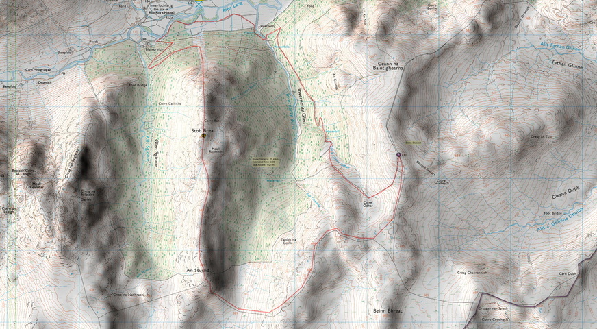
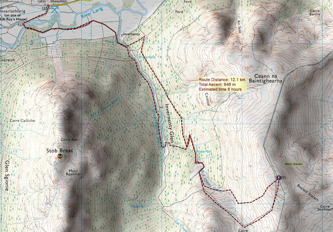
The map below shows several options. All internet sources suggest that the forestry to the north is not a good approach but the map shows a track going up beyond the tree line so I want to check this out. There were restrictions to using the track running north of Calair burn due to a dear farm, but research suggests that the deer farm is now closed.
1997: Stob Fear-tomhais; post-1997: SMC website has Ceann na Baintighearna, SMC guide to the Corbetts (2002) has Beinn Stacath . . . . Very confusing!
1997: Stob Fear-tomhais; post-1997: SMC website has Ceann na Baintighearna, SMC guide to the Corbetts (2002) has Beinn Stacath . . . . Very confusing!
View Beinn Stacach (Stob Fear-tomhais) in a larger map
31 July 2019
This was my third walk from Inverlochlarig. the first was to round up the Munro tops of Meall na Dige and Stob Coire an Lochain whose parent peak is Stob Binnein (back in 1999). Stob Binnein is usually climbed with Ben More from the north and the tops see relatively few visitors. The second route was to climb Stob a'Choin in 2015.
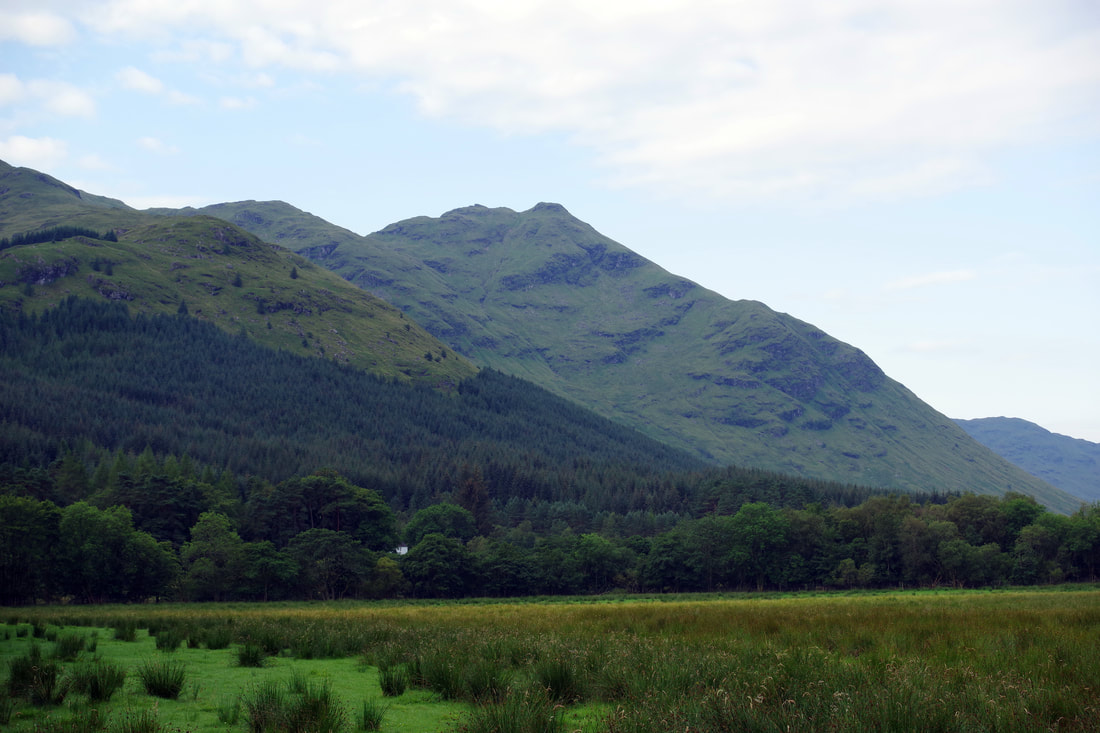
Thunder storms were forecast for later in the day and we had a long drive home, so the original plan to include the Graham, Stob Breac, was ditched with an up and down route to bag the Corbett, Beinn Stacach. I was aware that some sources stated that approaching the hill from the north was not recommended due to the extensive forestry, but this was the route that caught my interest. Would I recommend it? Not really, especially not for those that like to bag peaks by the easiest possible route. However, the route did pass a couple of very beautiful spots and the forestry track did allow for a speedy descent.
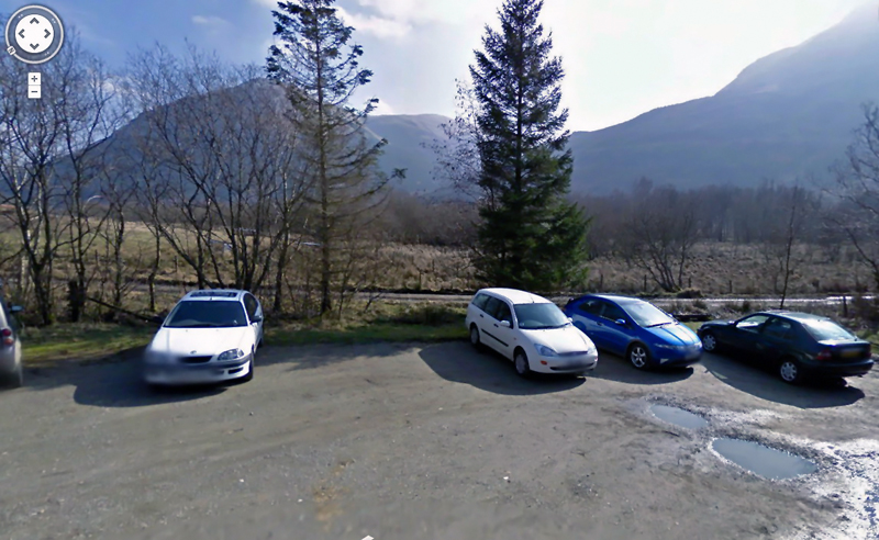
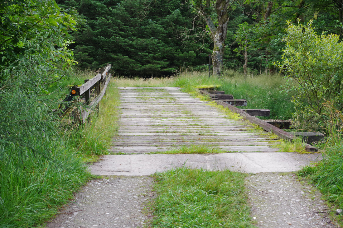
The first part was familiar ground, taking the track down the side of the car park and crossing the wooden bridge over the River Larig. However, instead of heading right for Stob a'Choin, we took the track to the left, heading eastwards. Initially, the going was pleasant but later, the track shown on the map turned out to be the faintest of paths through some very long grass and very wet underfoot.
We eventually reached the Invernenty Burn. There was an easy place to cross the burn but we could not see an obvious way through to the forestry track that should give us such quick and easy access to the open hillside a the top of the glen. So, after a brief discussion, we decided to follow the west bank of the burn. We were able to briefly join a very green track and then a faint path, but the route gradually diverged with the intended route and was by no means easy going. At one point, we had to force our way through dense trees. We did reach an idyllic spot to rest and have a spot to rest and eat. It consisted of a slab of rock in the middle of the burn above a small waterfall (sorry no photo). It gave us chance to check the map and we decided to take the next firebreak up to try and find the track.
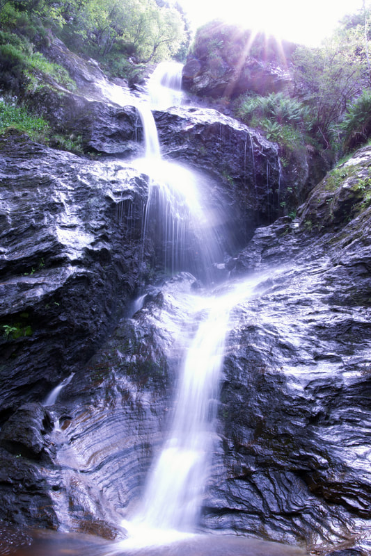
After crawling under a deer fence we followed the burn up. we followed the burn uphill, switching banks several time to find easier ground. High up, the ground became very steep and it looked like we may need to do battle with some more trees, so we dropped down steep grass to below a particularly beautiful waterfall. I was aware of a break in the trees at the top of the grassy bank on the far side and I was hoping that it would lead to the track. But first, I suggested that Thomas took a food break, while I set up my camera for a couple of minimum aperture (f 1/22), 1 second shutter speed photo of the waterfall. I would have liked to have used a slower shutter speed but I would need an ND filter for that - one of these days, I will invest in one. I feel moderately pleased with the outcome. An alternative approach would to have taken several 1s shots and photomerge them to obtain that dreamy, wispy effect flowing water.
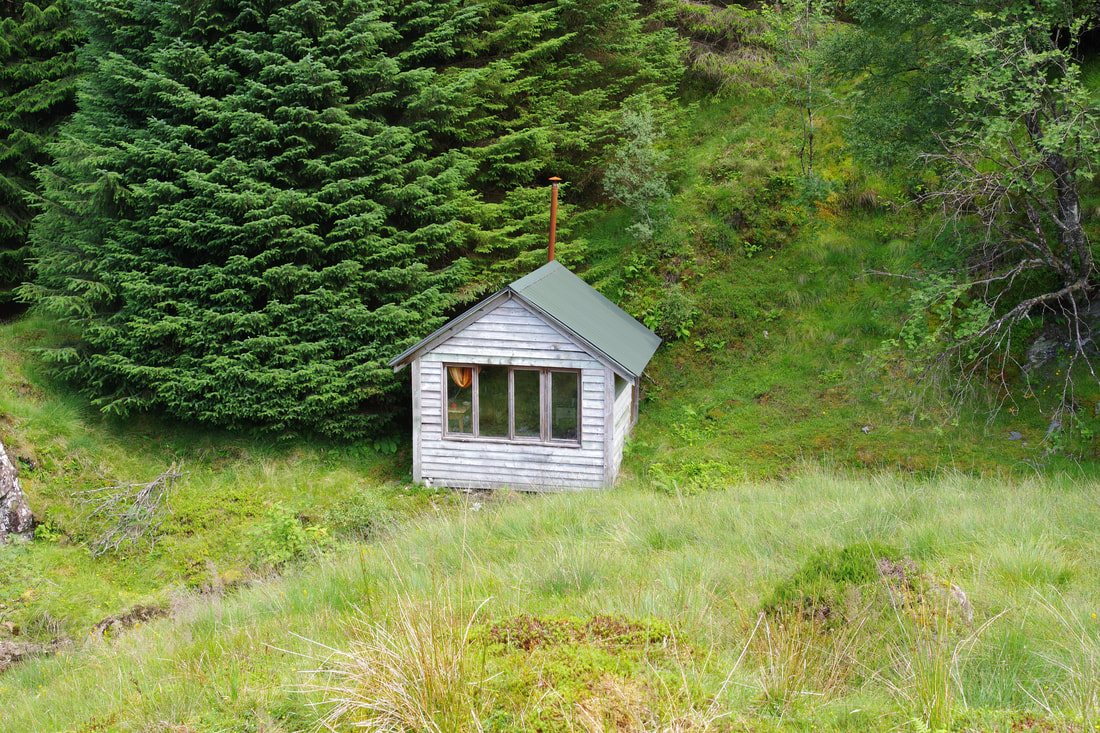
We clambered up the steep vegetation above. Even challenging ground like this takes some skill and experience in finding the best way up, even though it was not a rock climb and Thomas lagged behind a bit. I shouted encouragingly, with a smile on my face, "I've found the track"! The waterfall is not quite marked on the right place on the map, but I knew exactly where we were from the sharp z bend on the track. There are only two of these on the entire track. The track was then followed with ease to the edge of the forestry, where there was a padlocked bothy.
After checking out the bothy, a sound structure but in need of a good clean, we headed up the grassy slopes to meet the fence which can be followed all the way to the summit.
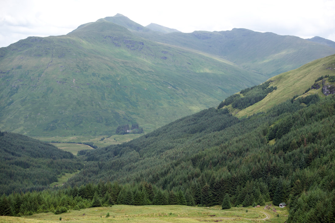
The photograph below is looking north to Stob Binnein and Ben More. The bothy can be seen bottom right.
The photograph below is looking north to Stob Binnein and Ben More. The bothy can be seen bottom right.
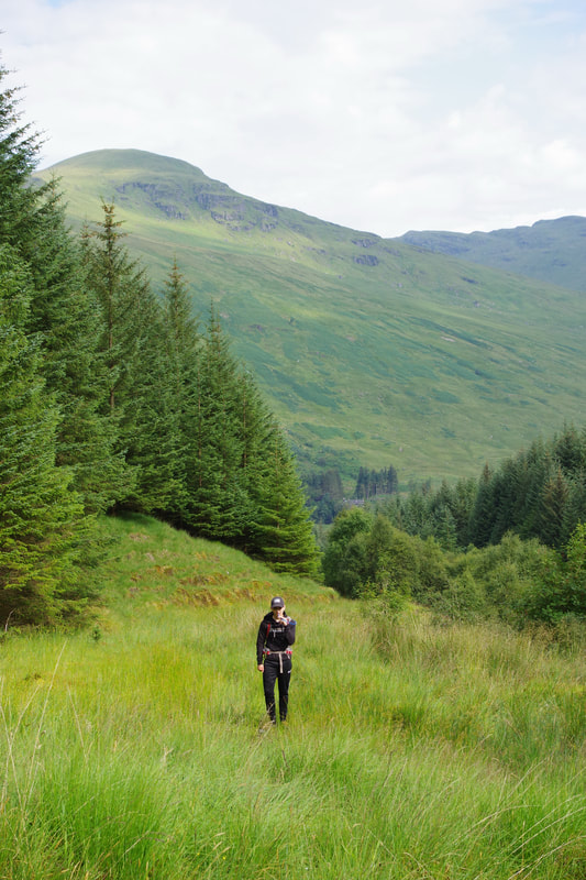
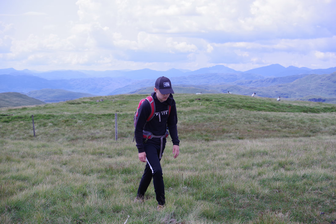
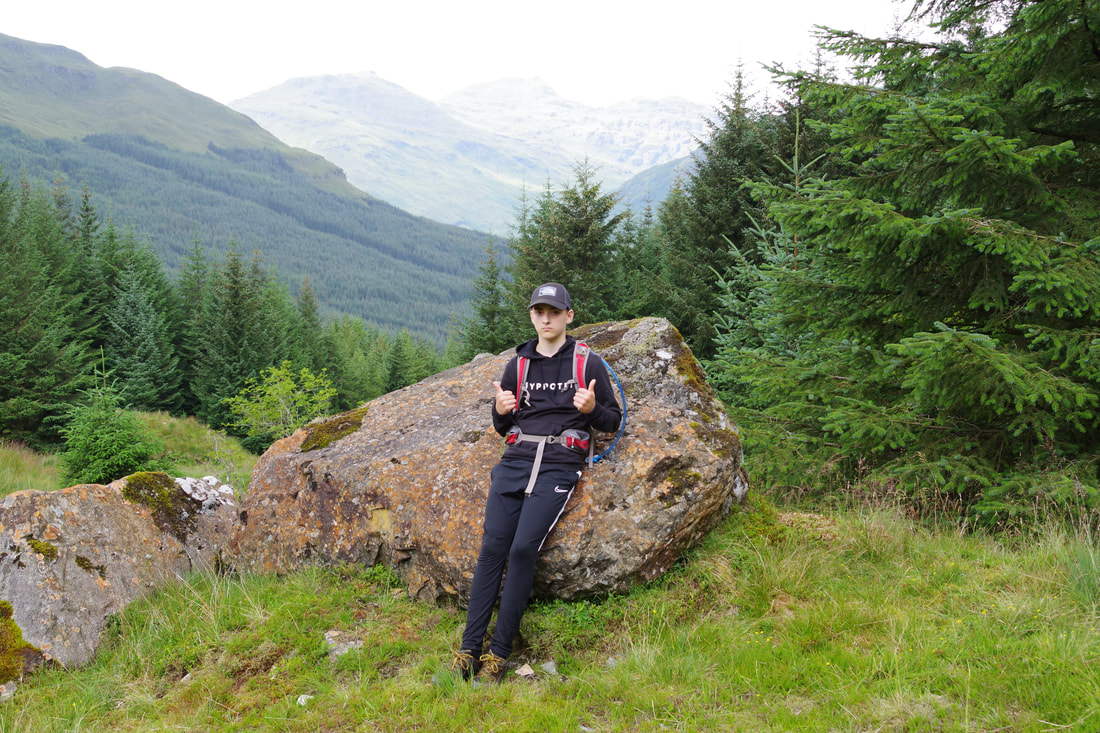
Thomas, looking in need of more food, approaching the summit.
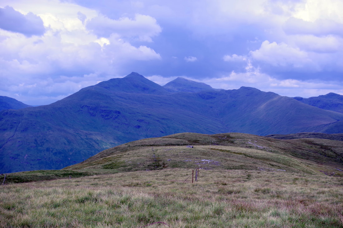
Looking north, down the ridge to Ceann na Baintighearna, with dark clouds developing over Stob Binnein and Ben More.
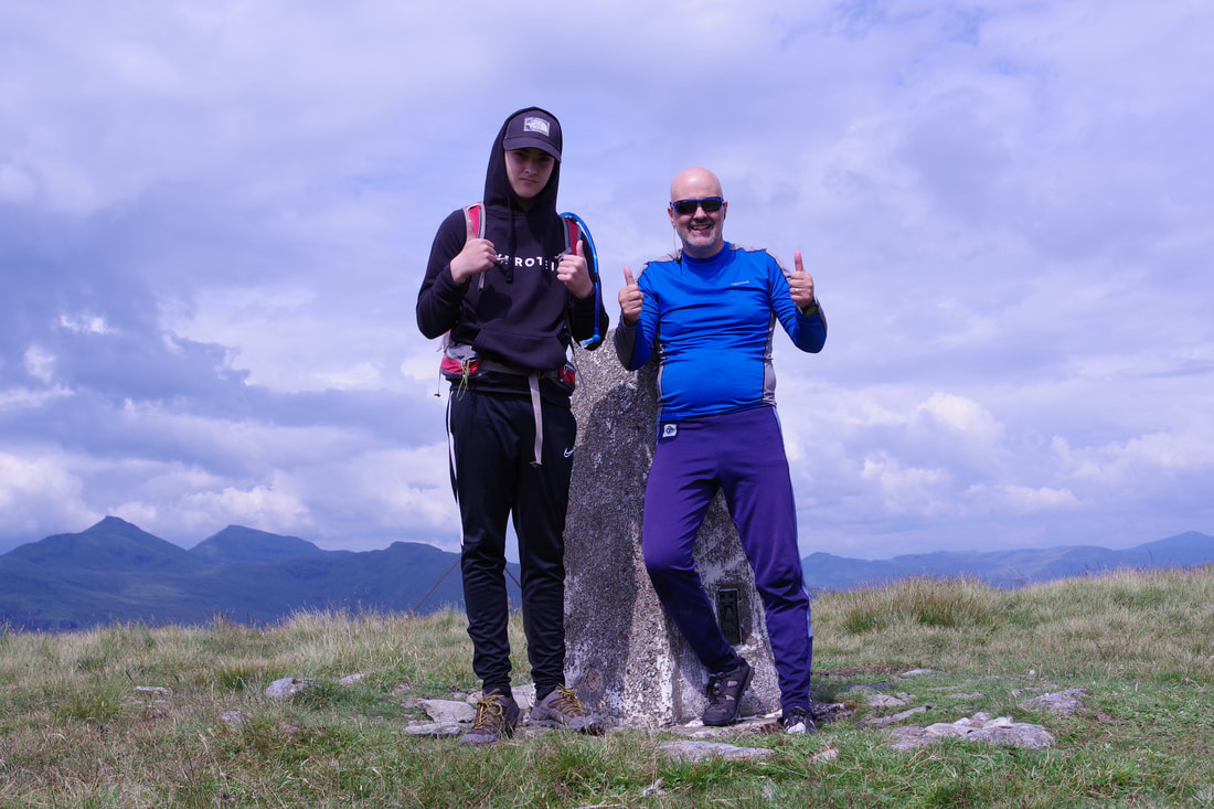
Once our sandwiches were eaten, I was ready to set up the tripod and do a 12 second delay selfie. I know that carrying a tripod, even a lightweight tripod, adds significant weight to the pack, it is worth it to capture these moments that we can look back on in future years.
We took a slightly more direct line down to the track. I was ready to jog down the track, but Thomas was not. It turned out later that he was developing a blister on one of his heels. The fell shoes had been fin the previous day. Perhaps it was something to do with his socks?
Where the track bends round to the right, there is a sharp left hand turning. The track is very overgrown and not at all obvious, but after a grassy start it becomes a pleasant carpet of moss and pine needles. It reaches the Invernenty burn at a gorge. It seemed preferable to go downstream than up, so we walked downstream, picking up a bit of a path that lead to a gateway before crossing the burn to pick up the outward route. After, changing our footwear and sitting in the car eating nuts, the heavens opened. Perfect timing again!

