Beinn Damh and Beinn na h-Eaglaise
MunrosNone
|
CorbettsBeinn Damh
|
GrahamsBeinn na h-Eaglaise
|
BothiesNone
|
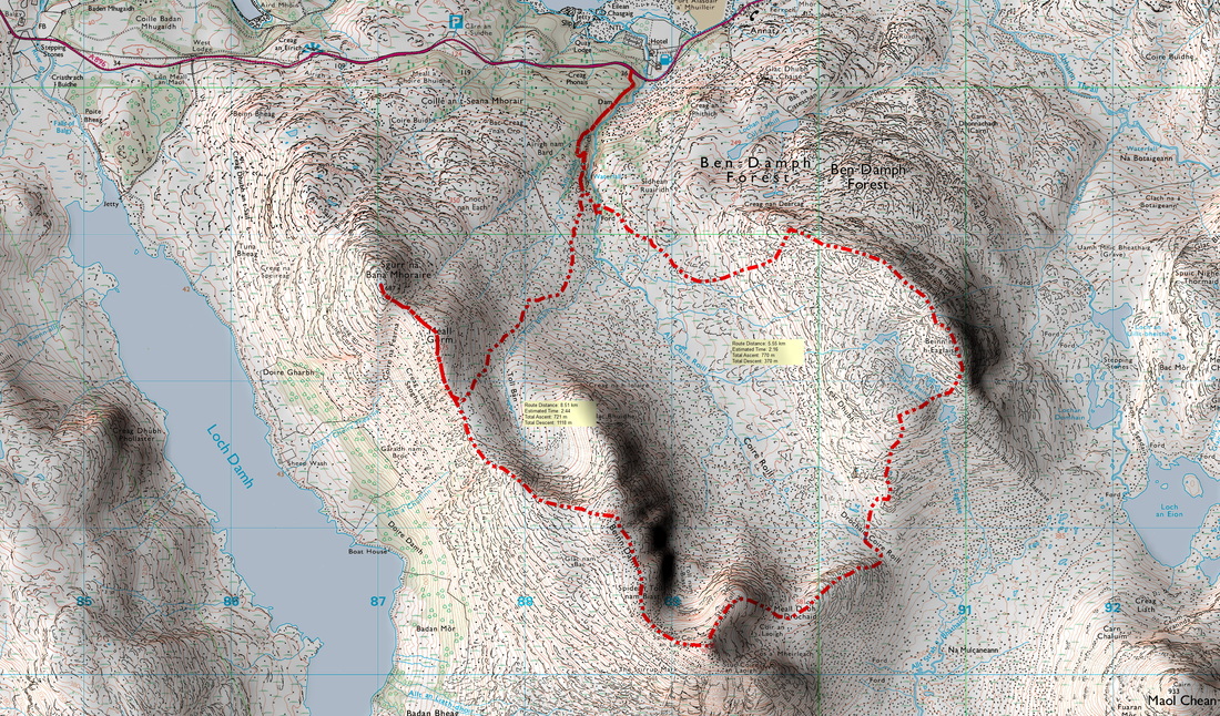
Distance/AscentDay 1 6km 770m
Day 1 9km 721m |
Estimated TimeDay 1 3h 30min
Day 1 4h 30min |
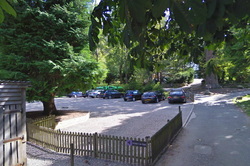
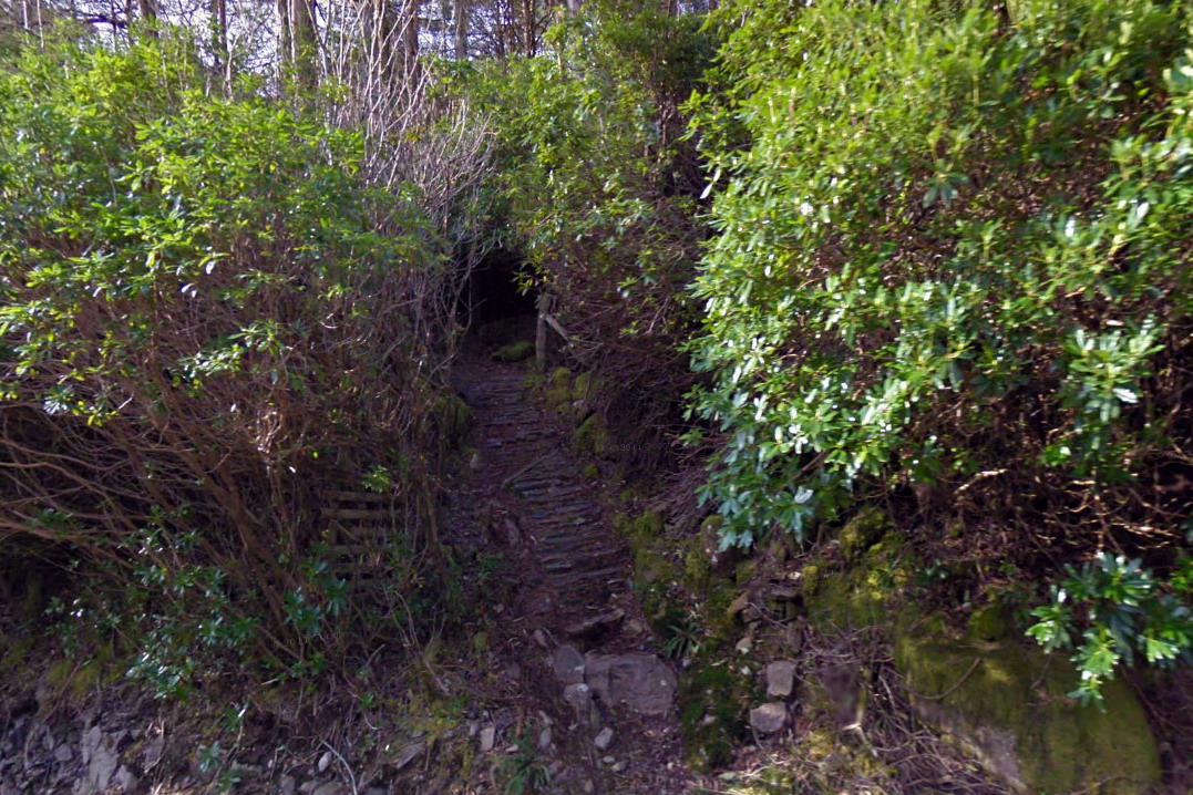
NotesOvernight camp at Drochaid Coire Roill. Start at the car park at the back of the Torridon Inn. There is a path up to the road and after crossing the road, go up the stalker's path through the rhododendrons.
If the Beinn Dah Inn car park is closed as some reports suggest, there is a small amount of parking either side of the bridge. |
Start |
View Beinn Damh and Beinn na h-Eaglaise in a larger map
15 February 2016
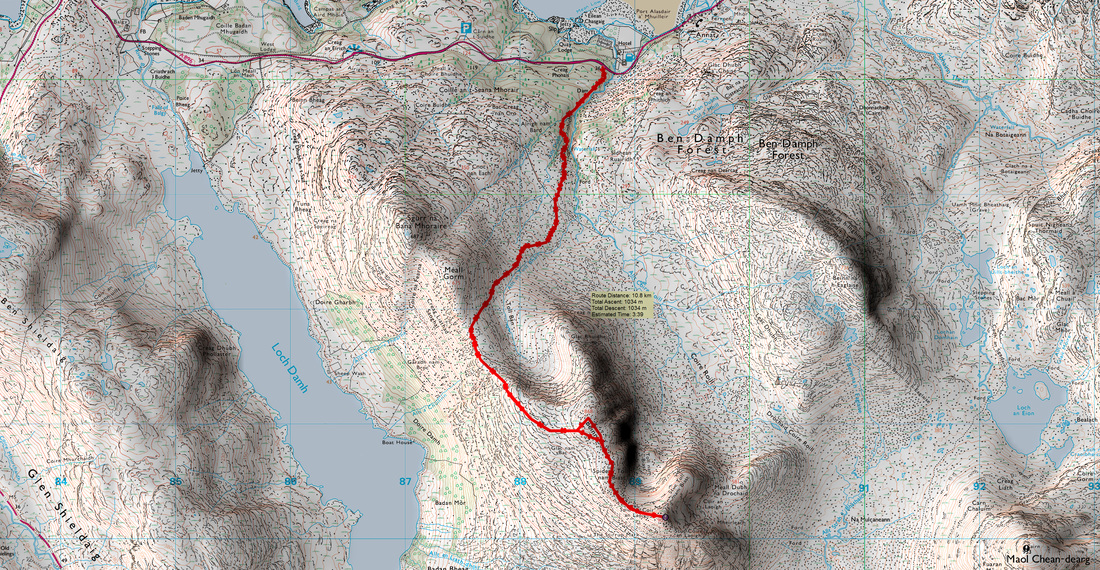
I should have set off on the 14th but I was tired from work (and life in general) and needed a day at home. I also had a few tasks to do around the home. The forecast for the night of the 15th was for gales with "storm force winds" forecast for the next day (Mountain Weather Information Service), so I switched to plan B which was to head up the stalkers path and on up to the lowest point on the Beinn Damh ridge. This is the route most people take up and down the hill. If the truth be known, I was a little annoyed at not having made the effort to head out the day before, but I had picked the best day for some weeks to bag this fine hill. The MWIS forecast said 80% chance of clear Munros and very little wind.
There are videos on YouTube where people have headed out in bad weather with the intention of testing their tent out in a storm on the top of a Lakeland hill. I love wild camping and I am fortunate enough to own a very robust Hilleberg Soulo, but I reserve my plans for high level camps for when the weather is settled or, at least not too windy. My tent may be strong, but I have visions of my tent taking off like a kite with me inside it! Some might suggest that I have become a bit of a wimp over the years. I would argue that I have just become more responsible. With the warning of "storm force winds making walking extremely difficult", I'll save the wild camp for another day.
There are videos on YouTube where people have headed out in bad weather with the intention of testing their tent out in a storm on the top of a Lakeland hill. I love wild camping and I am fortunate enough to own a very robust Hilleberg Soulo, but I reserve my plans for high level camps for when the weather is settled or, at least not too windy. My tent may be strong, but I have visions of my tent taking off like a kite with me inside it! Some might suggest that I have become a bit of a wimp over the years. I would argue that I have just become more responsible. With the warning of "storm force winds making walking extremely difficult", I'll save the wild camp for another day.
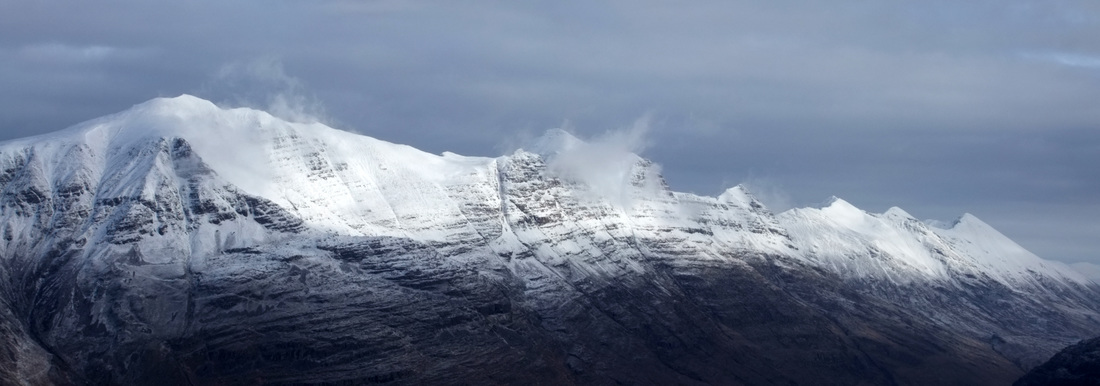
I drove past the small parking space after the bridge, where a couple were just setting off up the hill and continued to the viewpoint a couple of miles down the road. This mistake lead to a good photo opportunity:
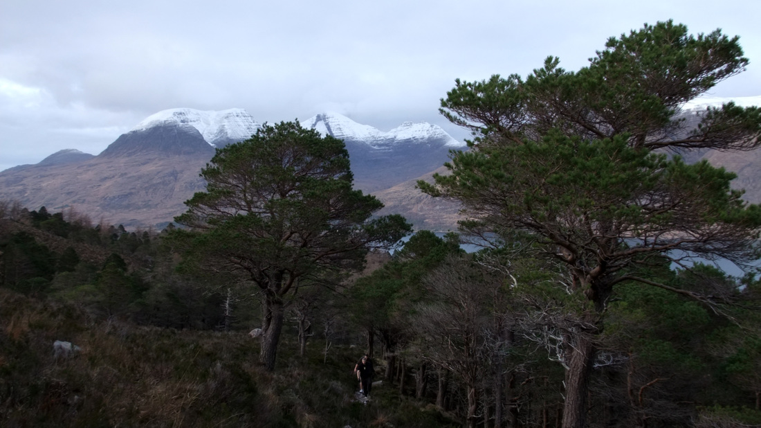
Beinn Alligin and the western end of Liathach across Upper Loch Torridon.
In my haste, I failed to check the map before I started and I headed up the track on the east side of the bridge and had to drop down to cross the burn. However, my intended/return route:
Once on the correct path, I made good progress, catching up a group that had parked behind me as I left. I asked them how far they were going. The reply was "As far as we can get". The path later forks and the route up Beinn Damh takes the larger right hand fork. This image was taken on the way down while looking back at Beinn Damh.
The ascent up Toll Ban gives splendid views of Liathach and the eastern half of Beinn Eighe.
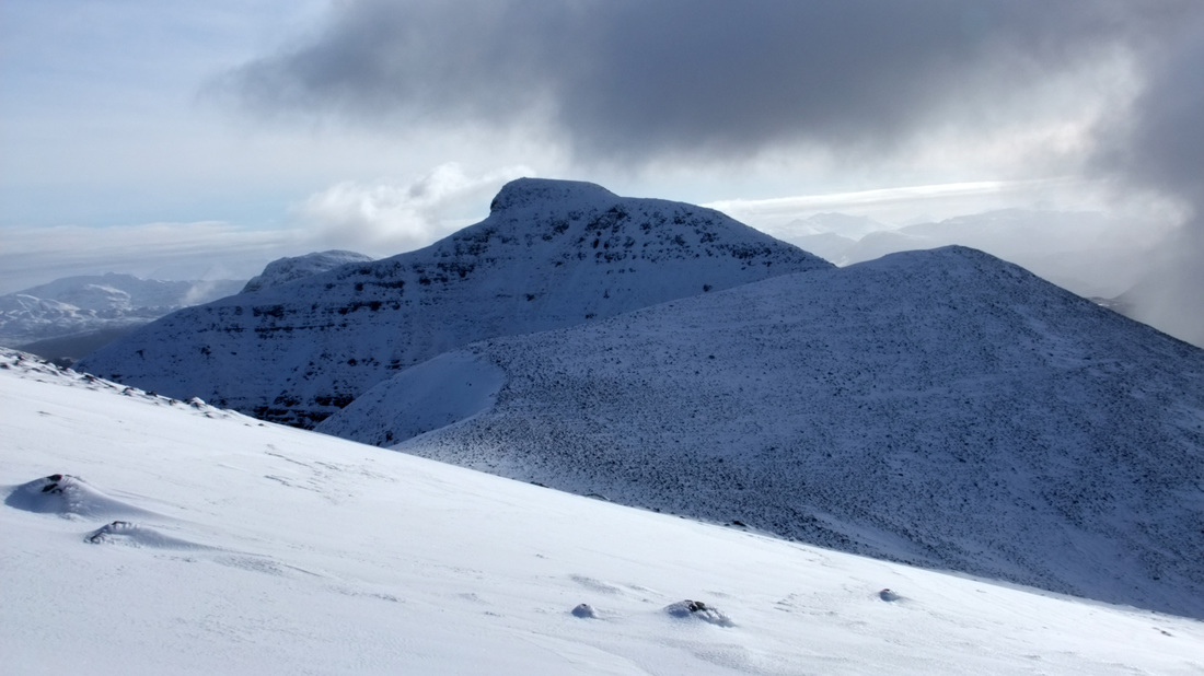
In places, the path was covered in a thick layer of ice where melt-water had frozen. I considered putting on crampons but decided to walk up the side of the path to bypass where the ice was most treacherous. There was a faint path heading off to the right of the obvious ridge and as I approached the spot height 868, I could see the main objective of Spidean Coir' an Laoigh.
I had been aware of the couple up ahead and I had set myself the challenge of catching them up. I finally caught up with them at spot height 868. They were a couple from Matlock. Their presence negated the need to take my Gorillapod out of my pack and the man kindly took these shots:
Slide 1: Looking south-east with Moal chean-dear (left), An Stac (above my head) and the summit of Beinn Damh, Spidean Coir' an Laoigh (right).
Slide 2: Again looking south-east with the ridge of Stuc Toll nam Biast behind. This had been my originally intended route of ascent - I am sure that it is easier when approached from behind.
Slide 3: Looking north-east towards Liathach and Beinn Eighe.
Slide 2: Again looking south-east with the ridge of Stuc Toll nam Biast behind. This had been my originally intended route of ascent - I am sure that it is easier when approached from behind.
Slide 3: Looking north-east towards Liathach and Beinn Eighe.
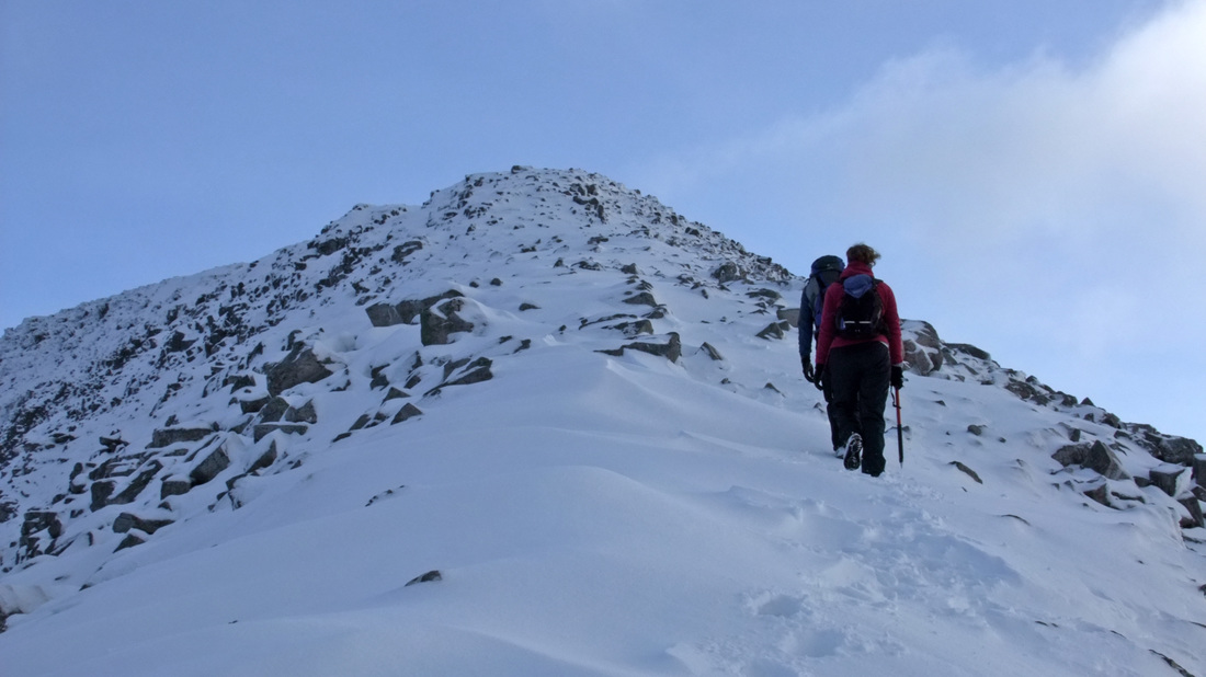
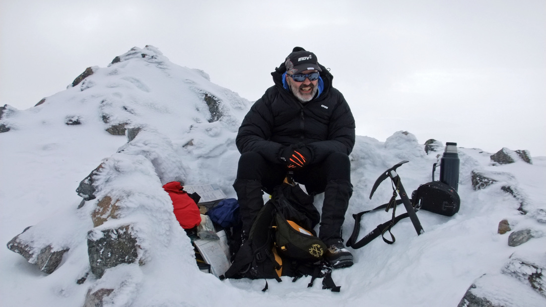
It is great that I have these sunny photographs, as a patch of cloud enveloped the mountain as the three of us headed towards the true summit. I had not stopped for food since leaving Evelix and I was running low on energy. I was happy for the others to break trail through the deeper snow covering the relatively narrow connecting ridge. The man kindly obliged to my request to take a summit photo. All my kit has been pulled out of my rucksack to extract my down jacket from the bottom. I had produced a lot of sweat heading up the hill, an even with double high wicking Helly Hansen baselayers, I began to feel the cold as soon as I had stopped. Part of the problem was that I needed to eat.
The couple did not stay on the top for very long. Warm coffee, an oversized ASDA custard cream and a good jacket was enough to prevent the onset of hypothermia.
I took my time heading down, stopping to take photographs and being careful not to slip and hurt myself. In the photograph below, you can just make out the western Isles. It had been my intention to head out towards the trig point of Sgor na Bana Mhoraire but I felt that I had already had a reasonably full day and fancied driving back in the light so that I could enjoy the views. It did look appealing and there is a clear path. Next time!
At the bottom of the steeper section of the path down, I stopped to finish my coffee and eat a scotch egg. The air was still and there was some warmth from the sun. It was nice to linger and not be in any hurry to return to the car.
On reaching the forest, I met and chatted to a couple of Hungarian gentlemen. They had finished their days work at the Loch Torridon Hotel and were out for a stroll.
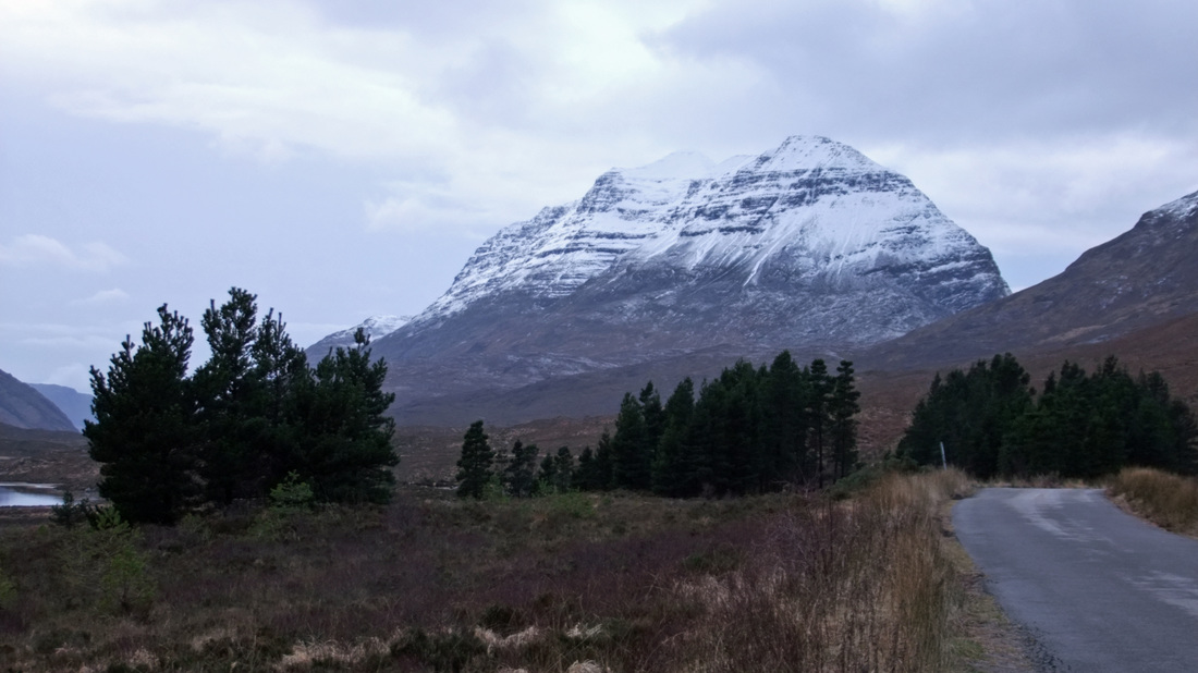
I stopped several times while driving down Glen Torridon. One sunny day, I'll walk down the track to Coulin Lodge and take a photograph of that classic view across Loch Claire towards Liathach, but this will have to do for now. Liathach always looks at its best with its upper slopes covered in snow and with the backdrop of a blue sky.
I remember an occasion over the Easter period of 1986, being one of a group of four, heading up the eastern end of Liathach up very steep snow slopes and reaching the band of rock. The winds were very strong and while one of our party continued, three of us turned back. The secret at this point is to head right to the outside edge of the mountain and then scramble up the skyline as viewed here. I returned and went up by this route in fine weather during the summer of 1994.
We, or at least three of us, made the right decision in 1986. When we returned to the minibus and waited for our friend, the minibus was swaying in the wind. It was not a day to be on the hill.
We, or at least three of us, made the right decision in 1986. When we returned to the minibus and waited for our friend, the minibus was swaying in the wind. It was not a day to be on the hill.

