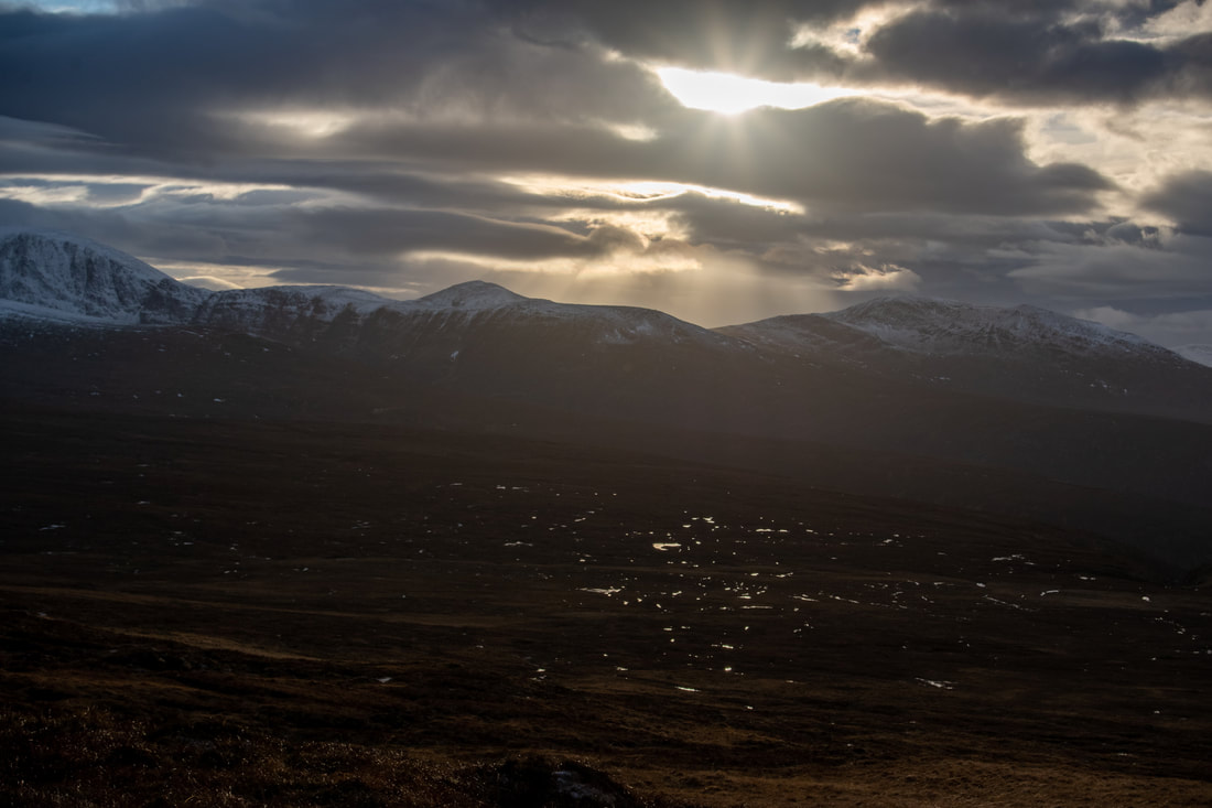
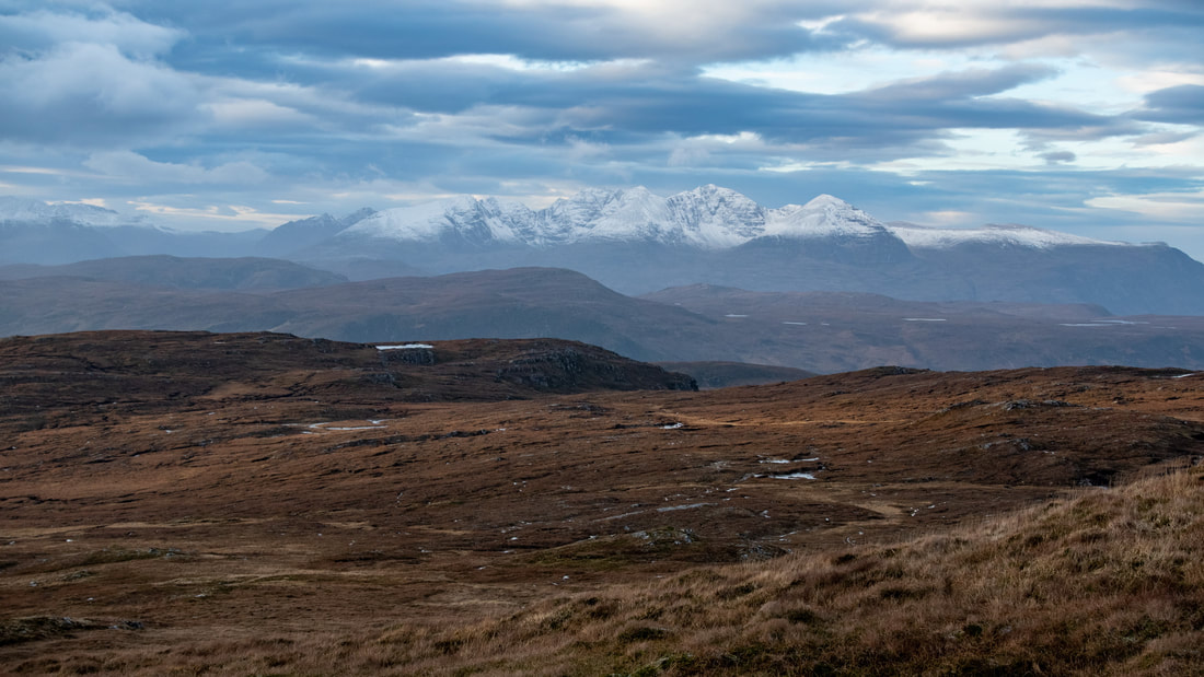
Above: Meall Dubh (Beinn Bhreac) summit looking towards Seana Bhràigh
GrahamsBeinn Bhreac [Meall Dubh]
|
Other HillsNone
|
BothiesNone
|
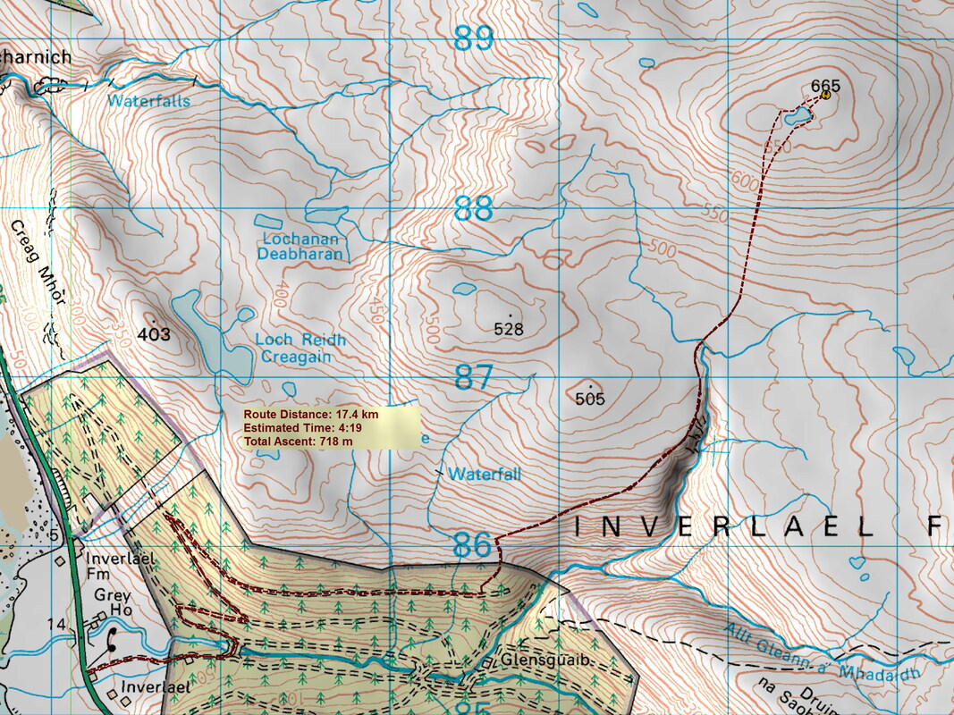
Distance/Ascent17.4km 718m
|
Estimated time5h 00mins
|
NotesWalkhighlands gives the name Meall Dubh but The Relative Hills of Britain website uses the name Beinn Bhreac.
|
Boxing Day 2021
This was my last chance of climbing a hill before heading back to Kazakhstan. My stay was shortened as I need to complete 7 days quarantine on my return. The fact that it was suggested that my employment contract could be terminated after 10 days of unpaid leave, meant that I made the decision to return before the New Year, anticipating that any cancellation of flights or border closures would not come into effect until the New Year.
I set off on my bike, with the front disk brake not working. I decided to take a more gentle, meandering route to the upper edge of the forest, so that I could actually cycle most of it, rather than pushing the bike. I also wanted to check out a more gentle descent that was not too scary with one brake!
On arrival at a crossroads, I looked down at the steep and vegetated track that most describe in their route reports. However, I was heading steeply up a very stony track that I was not sure about cycling down, but I pushed onwards and upwards in the knowledge that the track levelled out beyond the forestry gate.
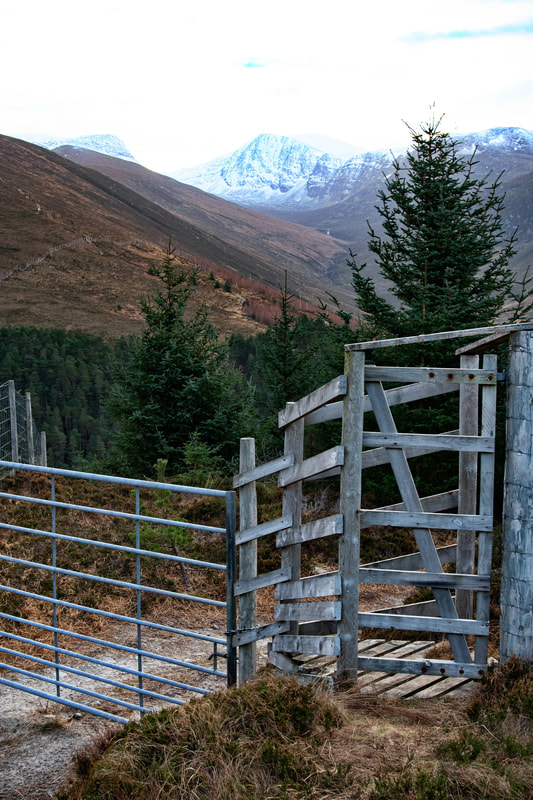
The gate at the top was locked but there is a walker's gate to the side. However, this may be walker friendly, but it is not bike friendly. I placed the bike up on end like a rearing horse and with a bit of a struggle maneuvered it into the gate but could not then swing the gate in the other direction with my pack on. So off came the pack and then, I was just able to swing the gate to its other position before passing the bike under the height bar.
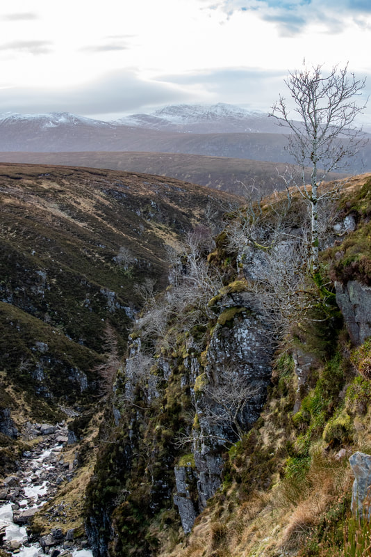
The track continued, at one point above a small ravine with a frozen burn. I think the distant hill is Beinn Enaiglair.
I should have take the bike to the end of the track but I was a getting a little tired of pushing it. In reality, after the next small rise, the track was relatively level. At the end of the track, a small quad-bike (or similar) track continues towards the summit area.
This hill is known to be a good view point for An Teallach.
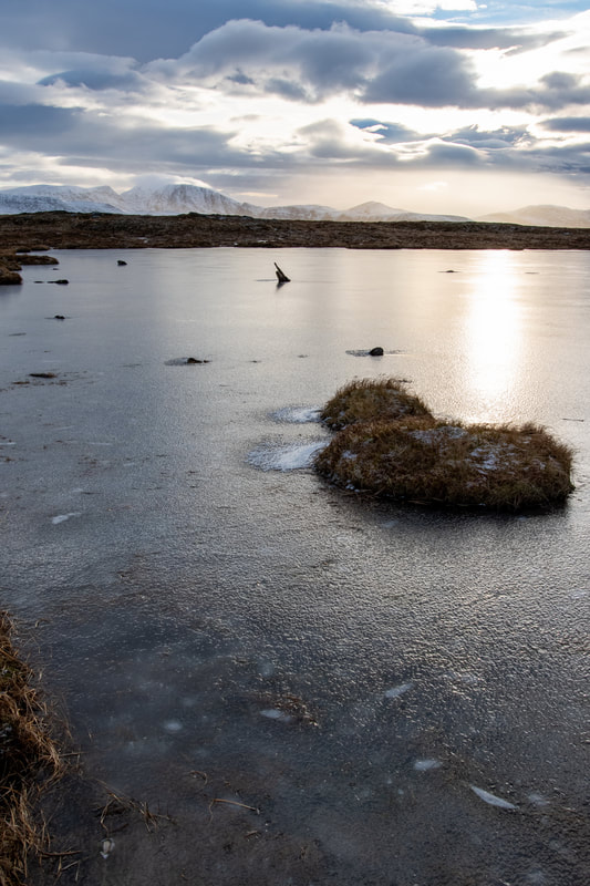
On a different day, this photograph could look so much different. The ice gives almost a long exposure ripple-less surface that the sun bursting through the clouds. At this point, I felt very much that I had chosen the right hill on the right day.
I dropped the aperture down to f/10 to get a good depth of field. I wanted the foreground in focus as well as the distant Beinn Dearg.
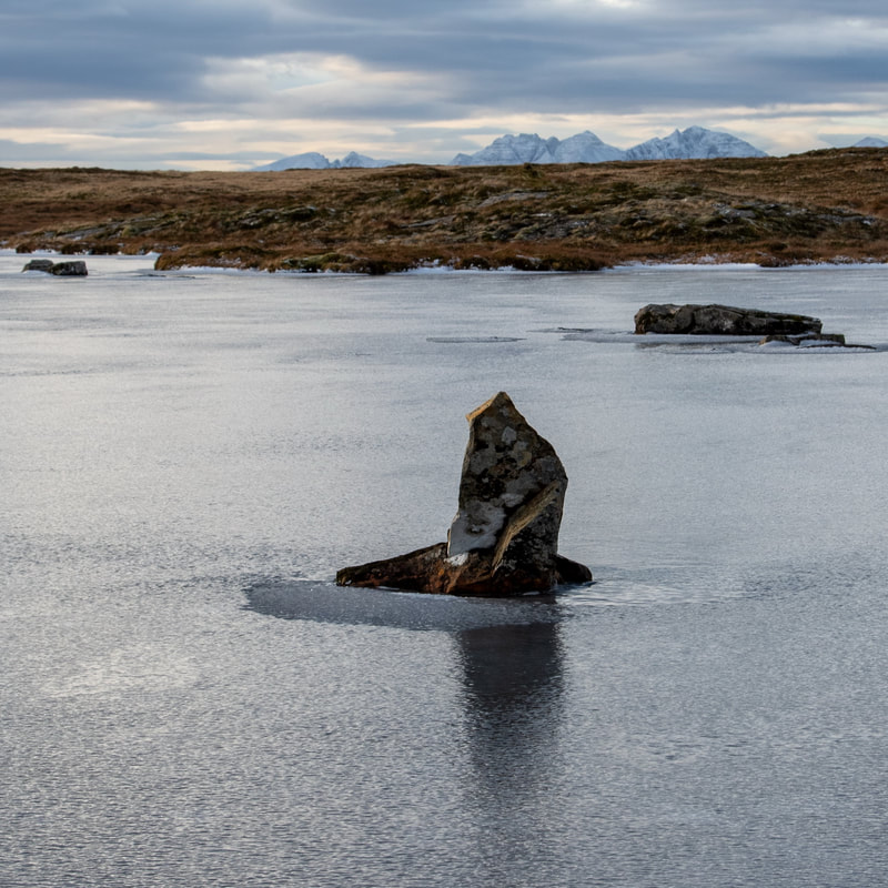
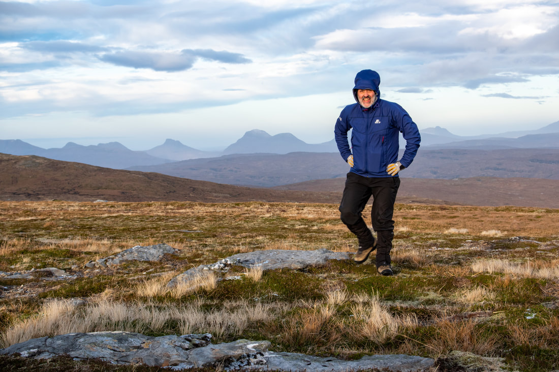
The summit selfie was a challenge. There was a strong breeze and I was concerned that the tripod and camera would blow over, possibly resulting in damage. Here the tripod was leeward of the summit rock and cairn (see the banner photo) with my backpack rested against the legs to reduce the risk of my gear toppling forwards and causing damage to the front element of the lens.
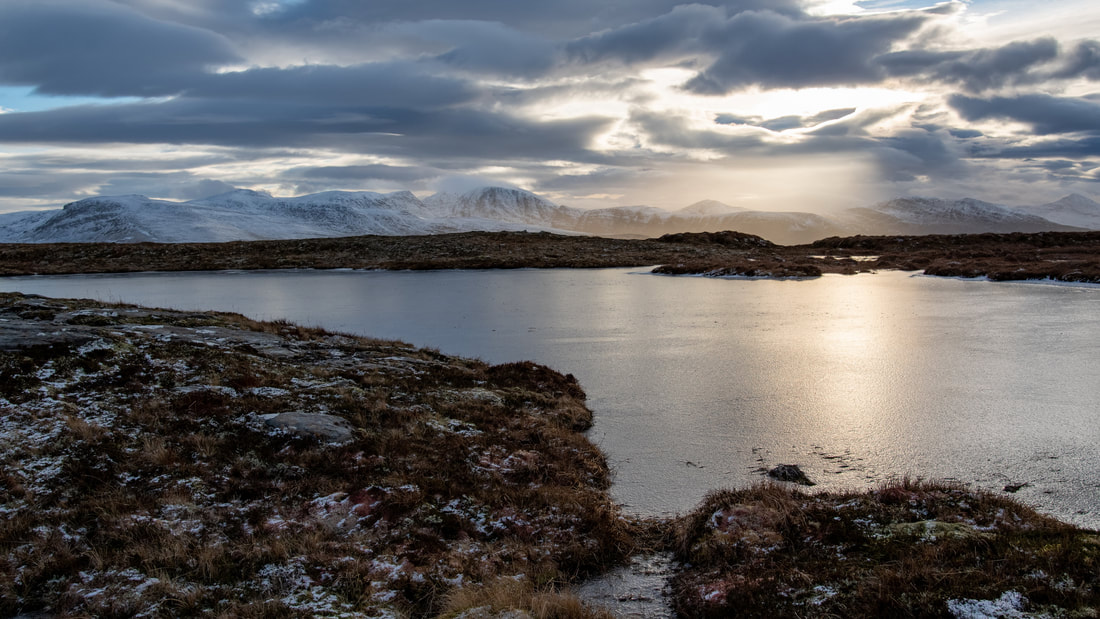
I had deliberately passed the lochan on one side and then returned on the other to explore the different photographic opportunities. Here, with the serrated ridge of An Teallach in the distance.
On reaching the Argocat track, a momentary lack of concentration saw me slip on a bit of ice and bang the side of my chest on the ground. I thought I hear a bit of a crack, but maybe that was the tripod, which was strapped to the outside of my pack, hitting a stone or rock. Writing this the next day, there is still pain, but I am not worried enough to check it out. What can you do with a cracked rib anyway?
Being cautious, I pushed my bike down the steeper sections of track, but enjoyed most of the bike ride back and returned to the car at around 14:30. It was good to finish reasonably early and after just over an hour of driving, I had time to make the fire and have a bath before tea-time. The pain to the side of my chest aside, everything was just perfect!
Being cautious, I pushed my bike down the steeper sections of track, but enjoyed most of the bike ride back and returned to the car at around 14:30. It was good to finish reasonably early and after just over an hour of driving, I had time to make the fire and have a bath before tea-time. The pain to the side of my chest aside, everything was just perfect!

