Kempir Tas and the walk to Jasybay
Bayanaul had been on my list of places to visit for some time and I had a long weekend with two national holidays - Defender of the Fatherland Day followed by Victory Day. I approached a guide in Karaganda who wanted about £600 per person for three days. I decided to just get a driver for a fraction of the price and then do my own thing when I arrived.
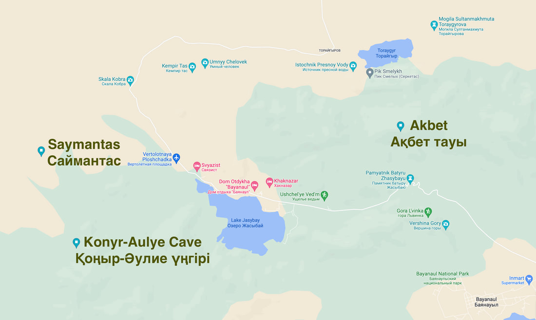
Having dropped me off at a guesthouse, he had to go back past Kempir Tas anyway so I suggested he dropped me off and I could then walk the 10K back to the Guesthouse
Having dropped me off at a guesthouse, he had to go back past Kempir Tas anyway so I suggested he dropped me off and I could then walk the 10K back to the Guesthouse
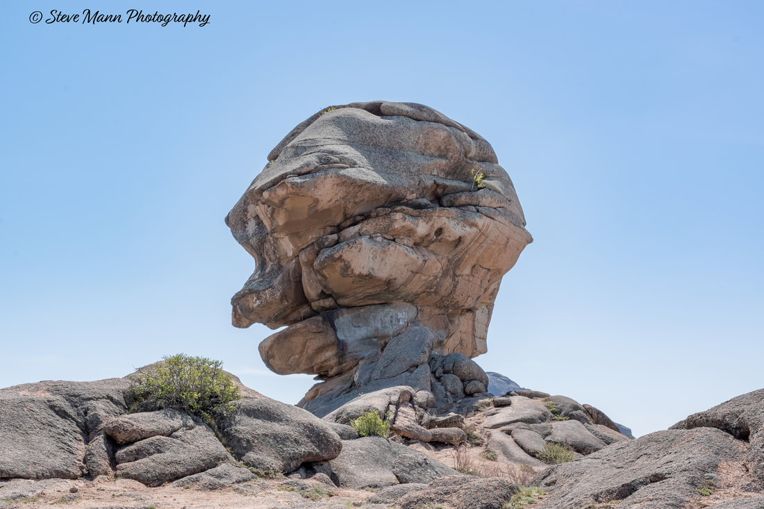
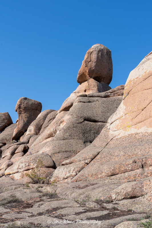
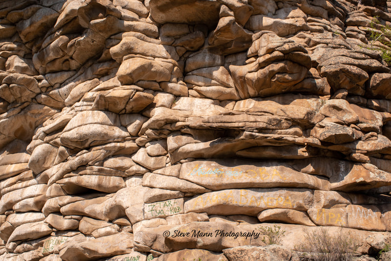
This rock is said to look like the head of a spiteful old woman.
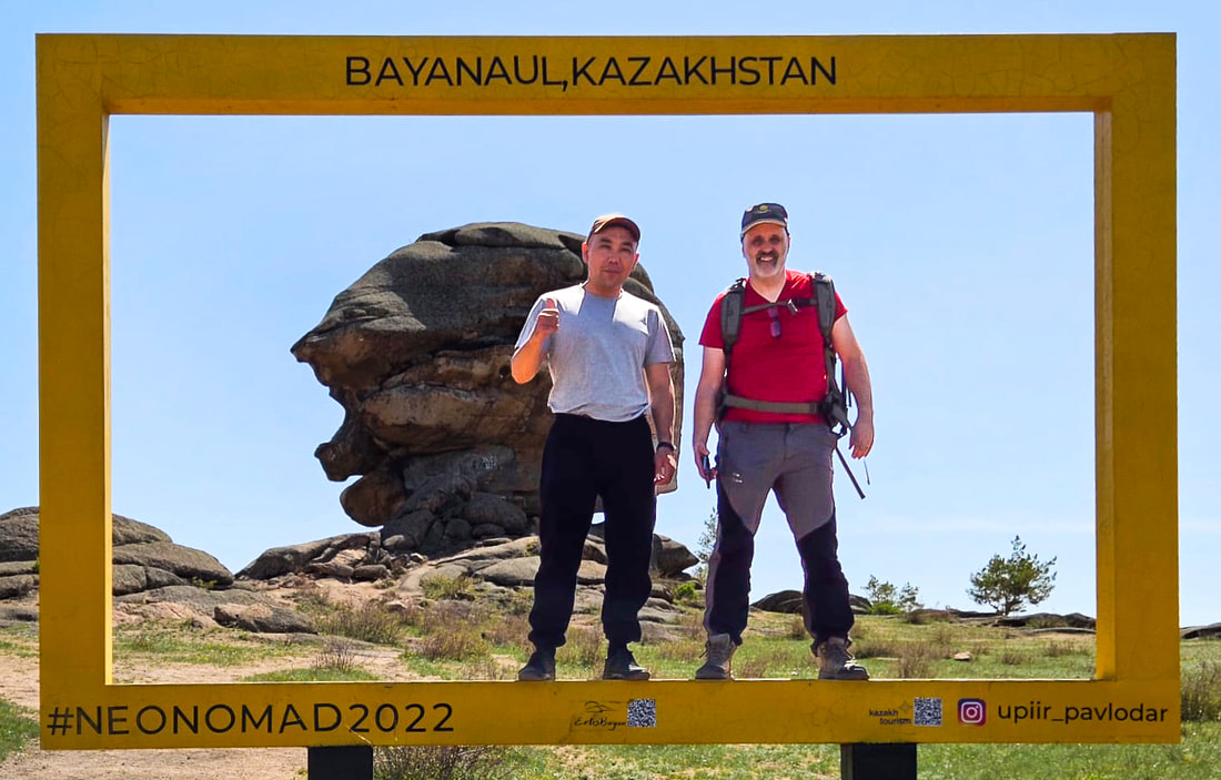
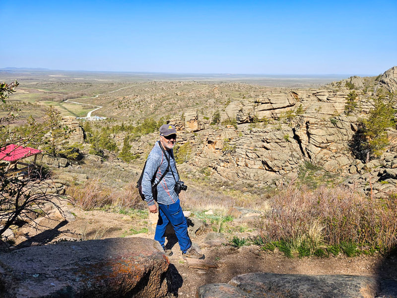
Myself and my driver, Erzhan.
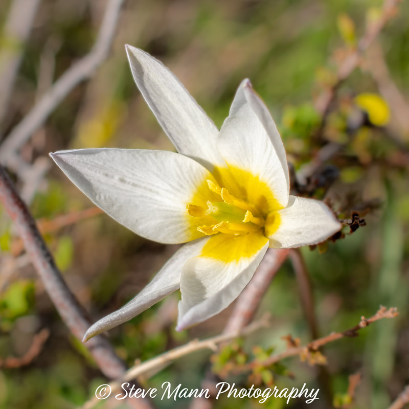
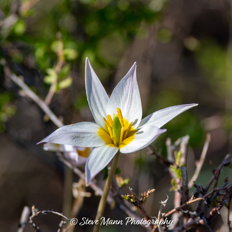
Tulipa sp. Tulips are not from Amsterdam, they are from Kazakhstan!
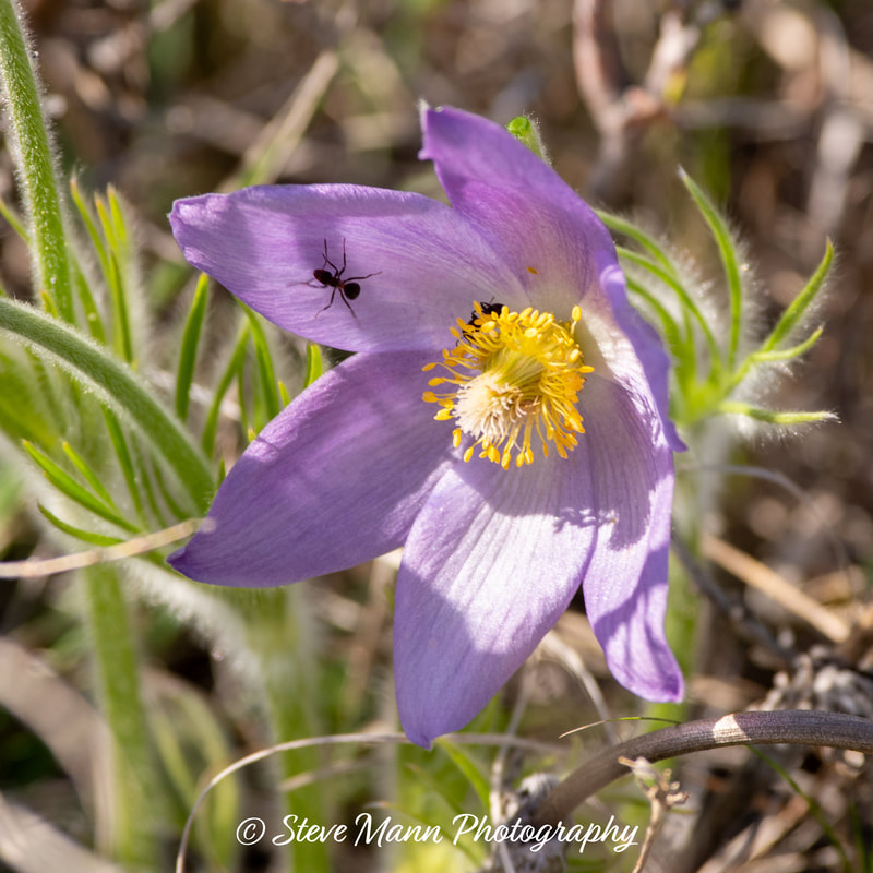
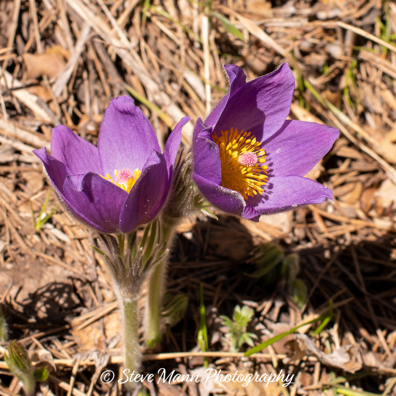
Pulsatilla patens (Eastern Pasque Flower).
I initially tried to take a reasonably direct line to the guesthouse at Jasybay, but my way was blocked by a strip of swampy woodland, which I started to work my way through but I could not see the other side so doubled back. I probably could have gone round it but I did a loop back to the road and followed the road back to Jasybay.
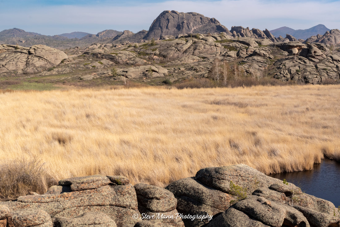
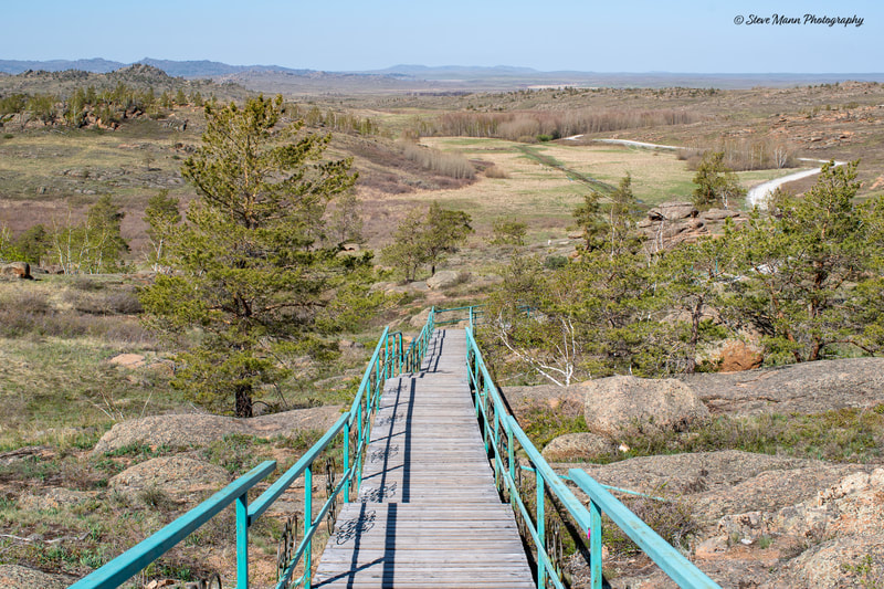
The peak shown is not very high but seems to be steep and rocky on all sides. I would like to go back with a climbing partner to attempt an ascent, but that will probably not happen.
The peak shown is not very high but seems to be steep and rocky on all sides. I would like to go back with a climbing partner to attempt an ascent, but that will probably not happen.
Saymantas and Konyr-Aulye Cave
The proprietor of the guest house is called Almagul. I know a few words of Kazakh and I know that Alma means Apple [The city of Almaty is Apple Town] and guy means flower, so her name means apple blossom.
I asked her to arrange a driver to take me to these two locations. I think the driver was her husband or family member.
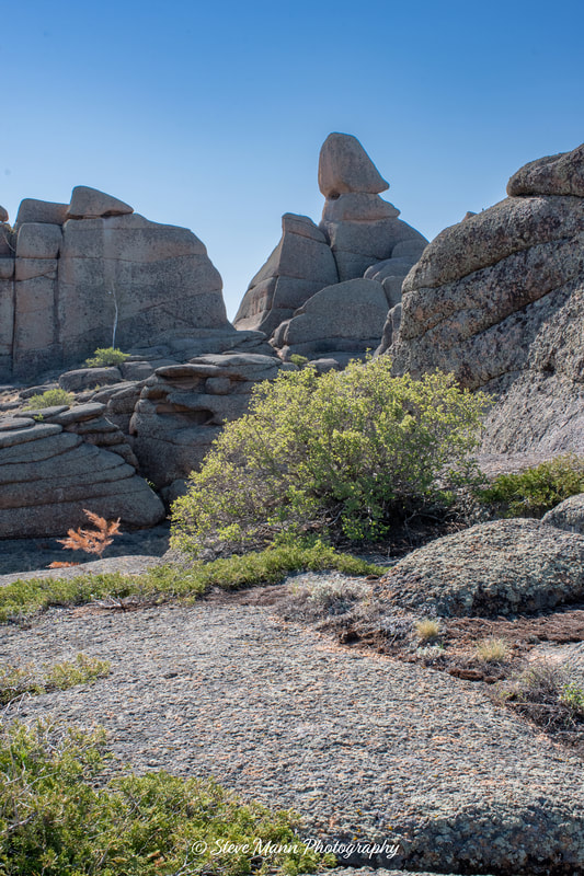
Saymantas [Саймантас] was considered by some ancient cults to be a sacred place with powers linked to fertility, which may explain the many white ribbons tied around the bushes on the car park side of the rock formations. I have seen the most prominent feature being referred to as the masculine dignity rock.
The rough stony road continues to the car park of the Konyr-Aulye Cave. After the previous stop, I could only think of this as Seymantas' female companion.
From https://kazakhstan.travel/tours/en/209/bayanaul: "Konyr-Aulie Cave owes its name to the legend of three brothers - Konyr, Kyran, and Kulan. During the ancient Fflood, they allegedly didn’t manage to get on Noah's ark. So the brothers tied themselves to the logs, which they fastened over the side of the ark. But a strong wave broke off the logs and scattered them in different directions. Konyr's log had stopped at the entrance to the cave."
From https://kazakhstan.travel/tours/en/209/bayanaul: "Konyr-Aulie Cave owes its name to the legend of three brothers - Konyr, Kyran, and Kulan. During the ancient Fflood, they allegedly didn’t manage to get on Noah's ark. So the brothers tied themselves to the logs, which they fastened over the side of the ark. But a strong wave broke off the logs and scattered them in different directions. Konyr's log had stopped at the entrance to the cave."
Ushchel'ye Ved'm
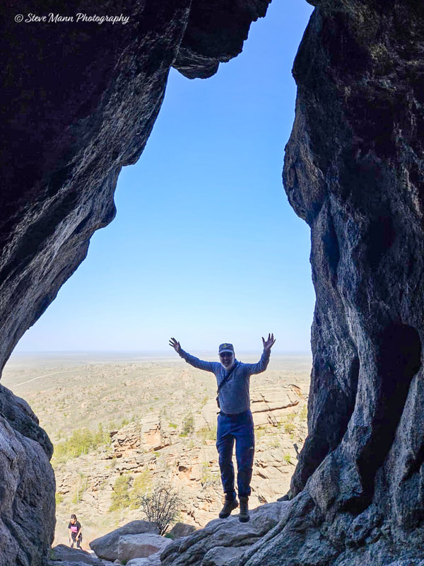
My driver mentioned this place - I was not previously aware of it. It is a short walk from Jasybay. It is a small gorge with pleasant walking out of the heat of the sun. It makes a nice easy afternoon walk.
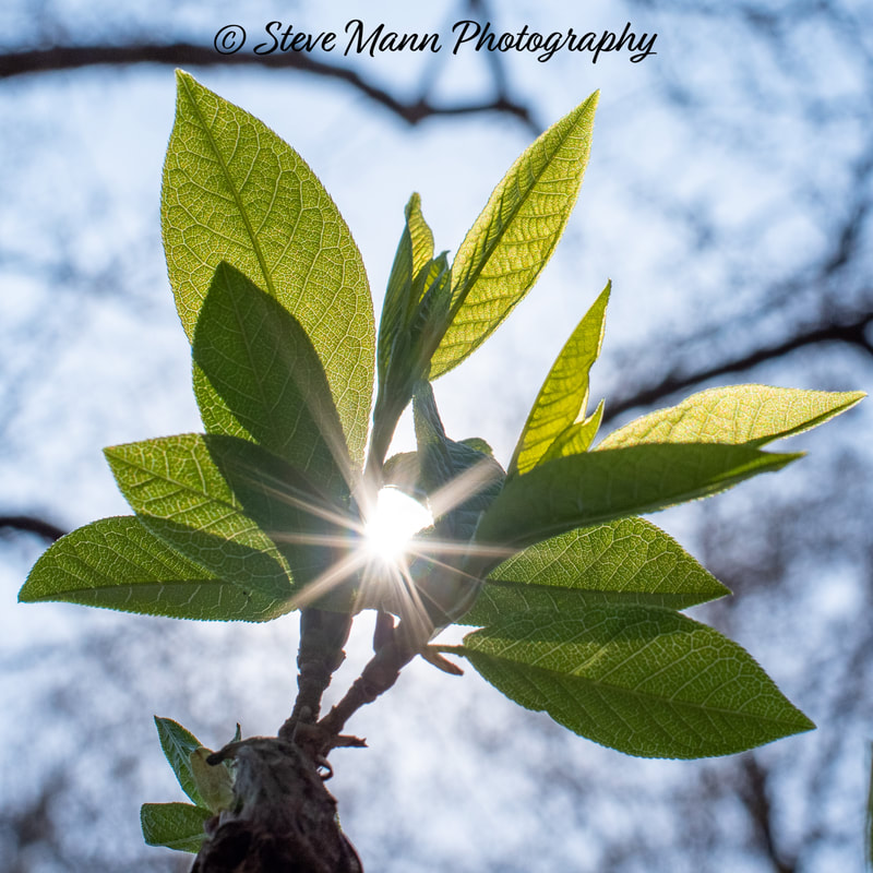
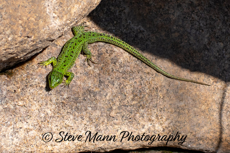
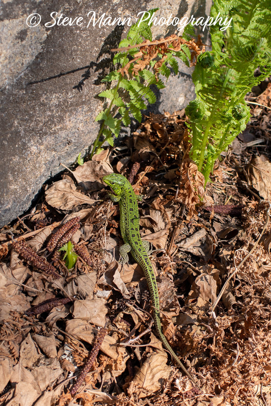
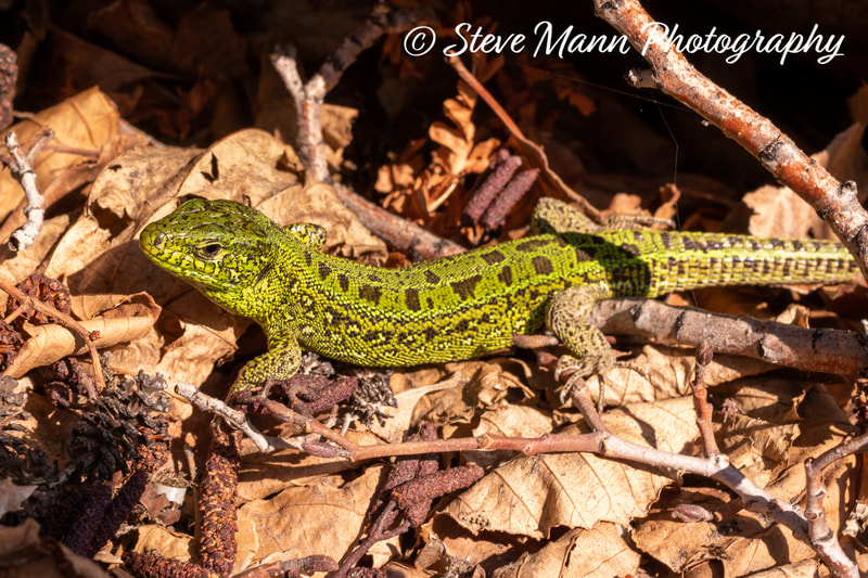
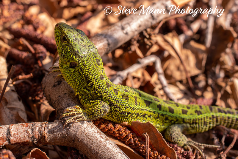
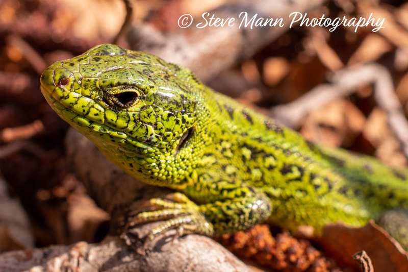
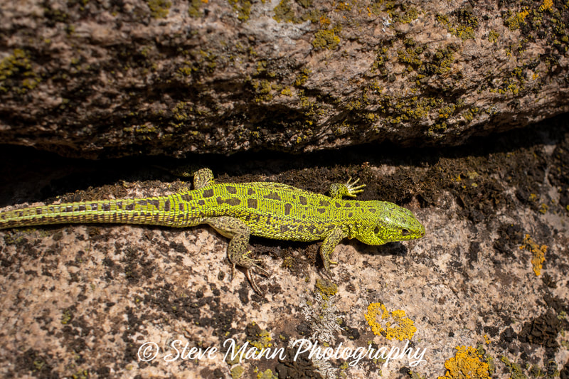
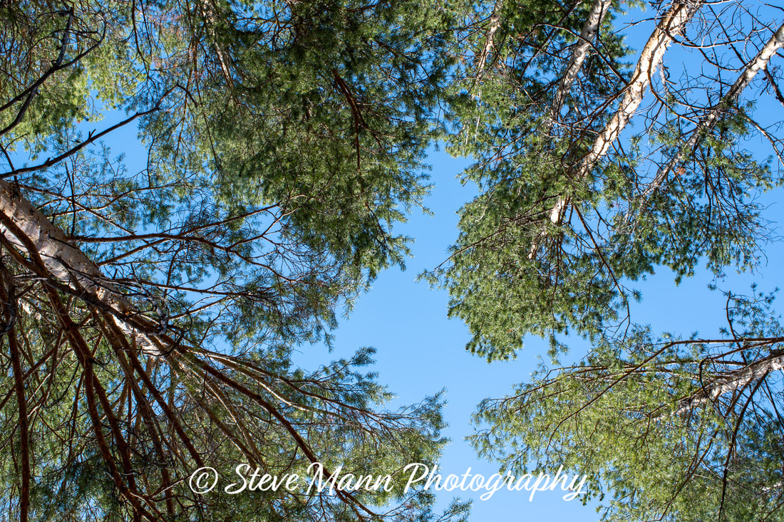
The foliage was fresh and a delight to see after a long Astana winter. They were a vibrant green but not as vibrant as the male sand lizards.
At one point a boy started throwing pine cone at me from the rocks above. He may not have understood me shouting "Oi! Pack it in!" but he definitely understood the tone of my voice!
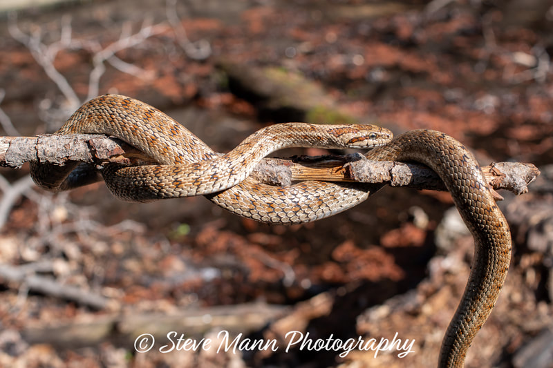
I think that he is a local boy and this is his playground. I later came across him with a snake on a stick. Every time the snake moved towards the end that he was holding, he shook it back down the stick. I tried to tell him to put it down as I thought it would be easier to photograph on the ground as I thought it would be easier to photograph on the ground than a moving stick. It is in fact a non-venomous steppe rat snake and is totally harmless.
All the photos were taken using a 35mm [52.5mm full frame equivalent] Macro lens but I could not get in close enough for anything like the full 1:1 ratio and most of the photos are cropped to some degree.
Akbet 1022m
Akbet (Kazakh: Ақбет): With an elevation 1,022 metres (3,353 ft), it is the highest mountain in the Pavlodar region. The mountain is named after a Kazakh girl who killed herself there after being forced into a marriage to a man she did not love.
I had reservations about this. I knew the height of the mountain to be that of your average Munro and the village to be at around 400m so in theory its ascent should be like climbing a Graham/Fiona. There are no maps, I only had electronic compasses on my phone and watch and other than the lower slopes, there are no paths. There were a couple of blue ribbons on trees which perhaps were intended as way markers. So I decided to employ the services of a local man, Kazbek, who hopefully would be able to drive the two of us to the best starting point and know the best way up. He had been up before but used his phone as a navigation aid.
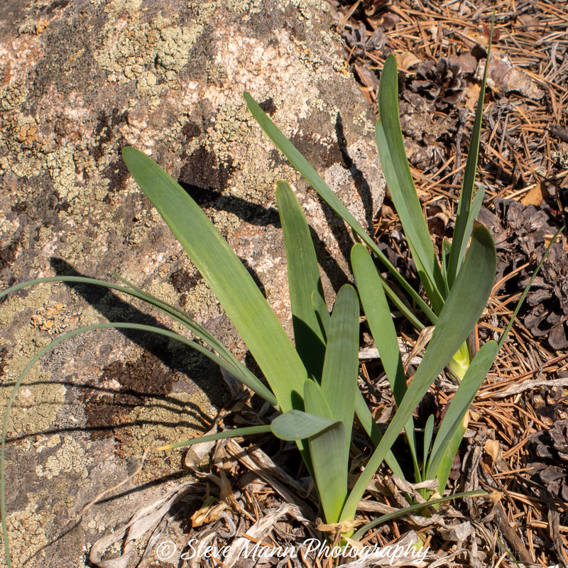
Wild onions
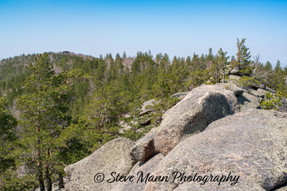
The route was almost entirely through forrest. The trees were well spaced and not like hacking through some dense Scottish forests, but some of the vegetation was prickly and it was quite steep the whole way.
It seemed a hard climb for less than 600m of ascent and we reached a point where we scrambled up some rocks. I had assumed that this was the summit but Kazbek pointed out a distant white flag on a rocky outcrop. The ridge of rocks had a bit of a gap. I stepped across with one leg and tried to find some kind of finger hold to pull myself across but I could not find anything. The only solution was to leap across onto sloping rock where a slip could have lead to serious injury. It was not really difficult, but committing and a little scary. My aging legs lack the spring that they used to have! I can hike all day but not so good at leaping across gaps!
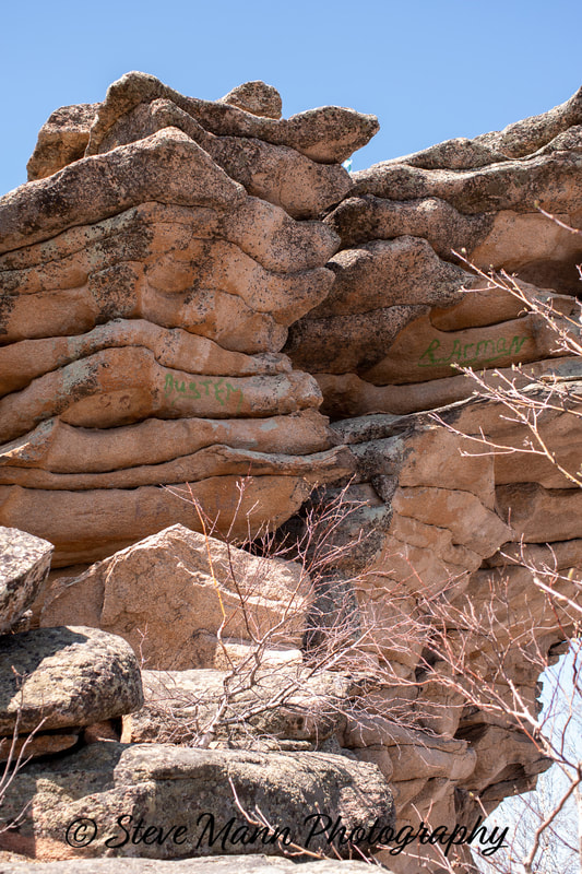
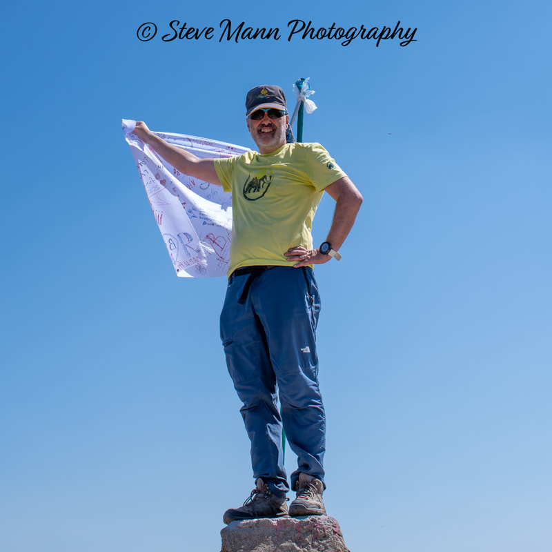
There were other difficulties but these could be avoided just like the Am fasarinen pinnacles. The first sign of the summit appeared as overhanging rock. I wider lens would have shown this better. However, heading left, it is a pleasant scramble up rounded layers of rock to the airy summit. There is something resembling a short trig point and a white flag which allows for people to add doodles or their names with a marker pen, sort of like a visitors book. In some places, people had disgracefully written names directly on to the rock
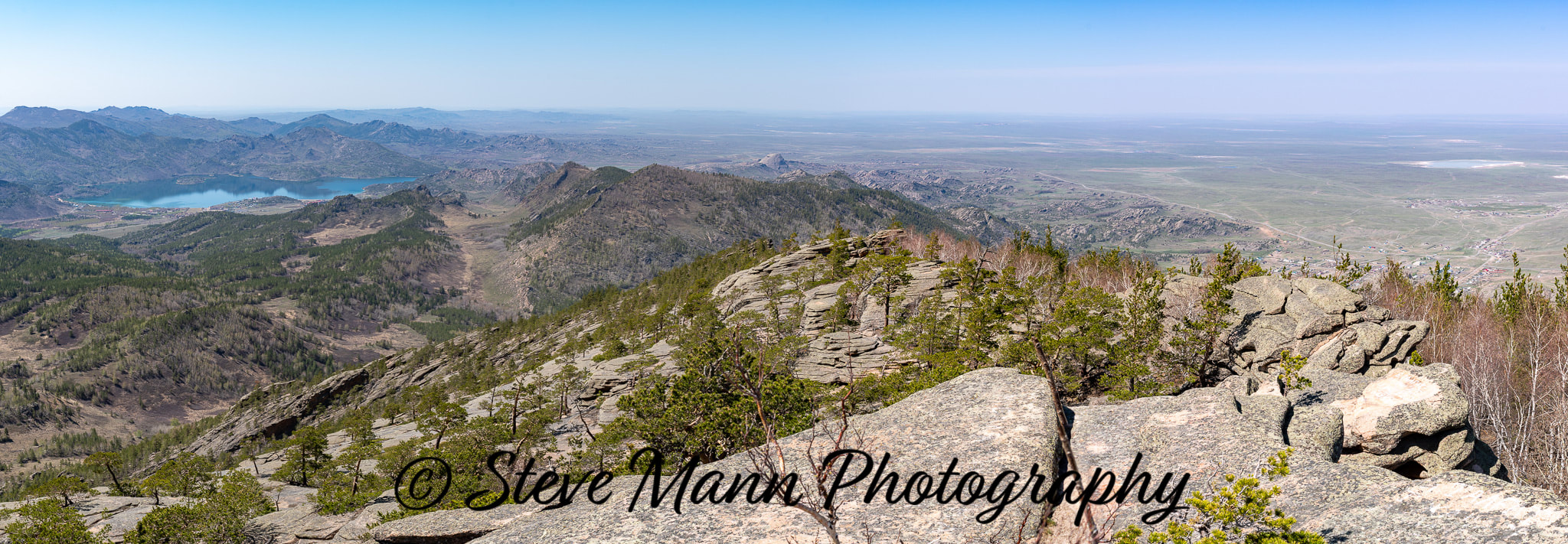
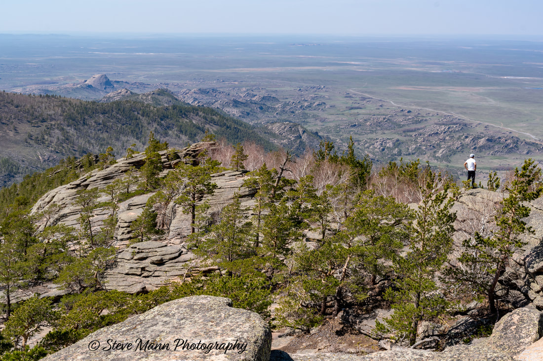
A panorama stitched in Photoshop with Jasybay lake seen left. . The Half-dome like peak mentioned earlier is seen centre and looks very small from here. As can be seen, the terrain to the north is almost flat steppe.
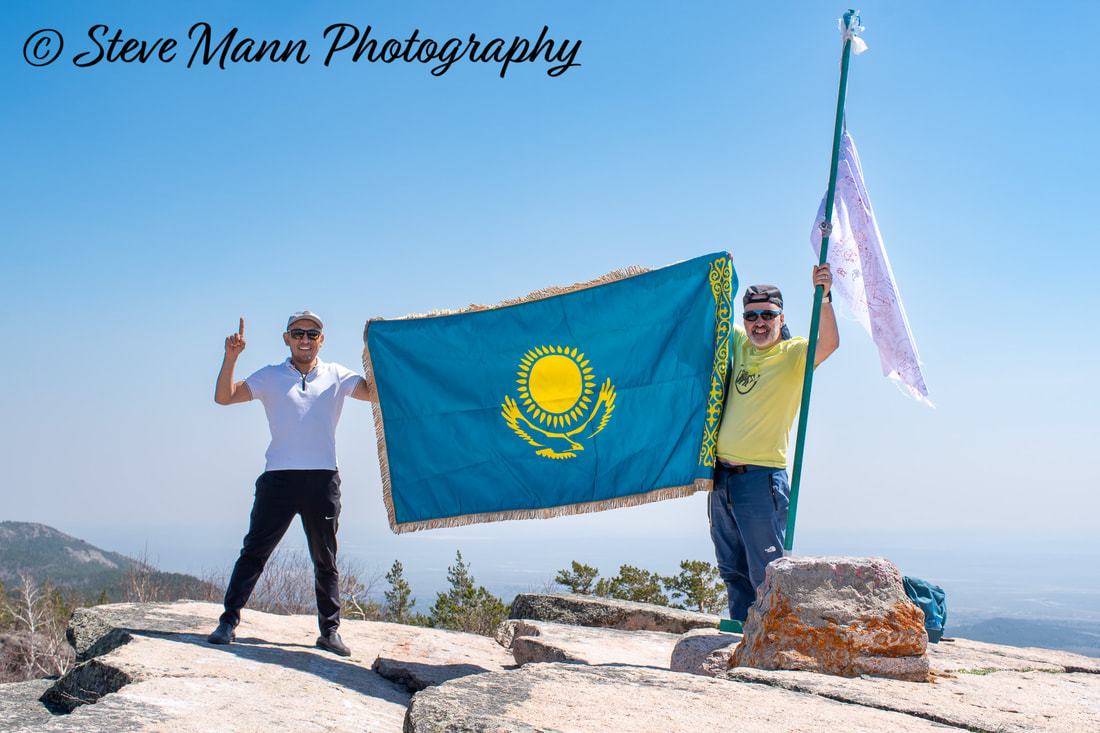
Oops! I did it again! The Kazakh flag is the wrong way round. I could have reversed the photo and nobody would have ever known, but I want to keep an accurate record. There is a BIG drop to the left of Kazbek.
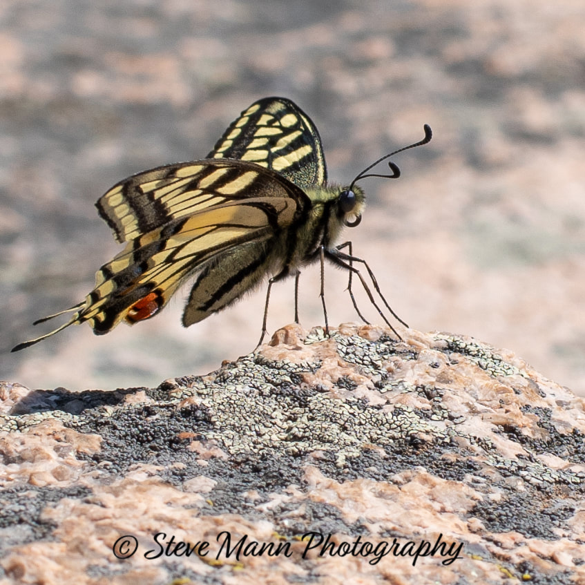
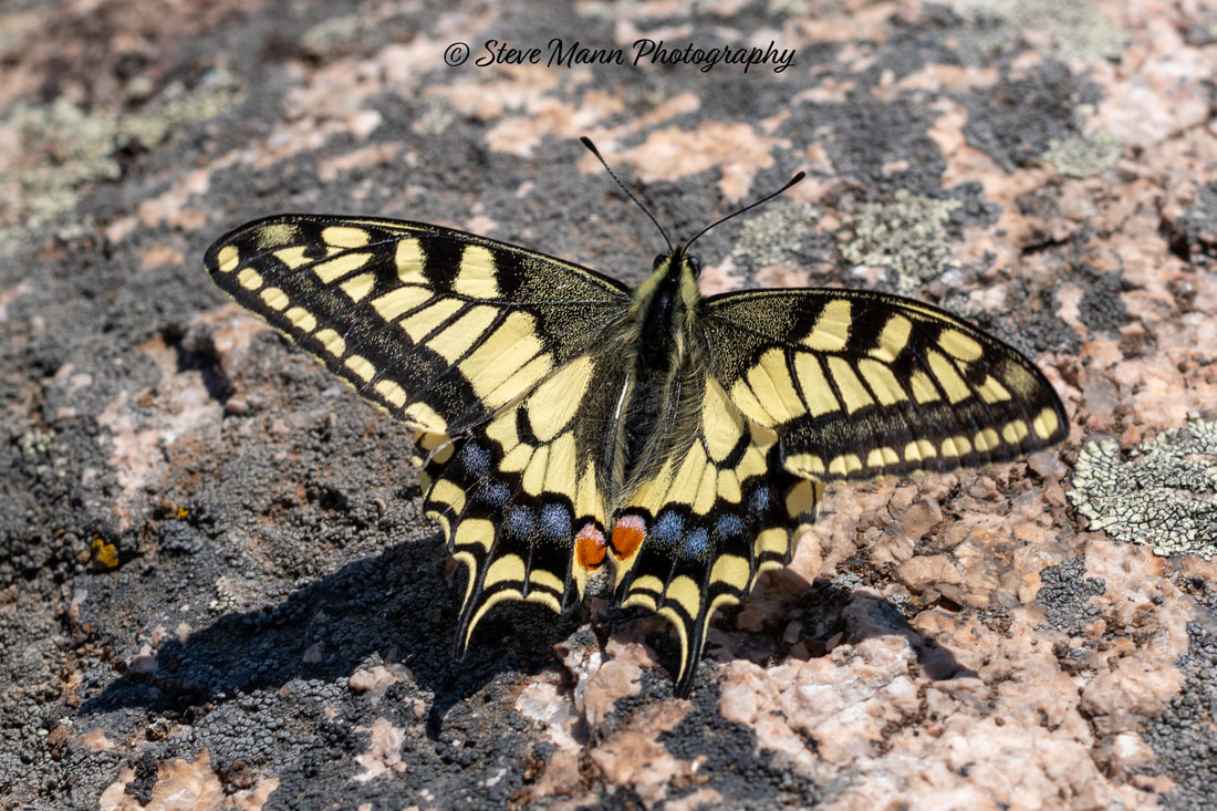
Papilio machaon - swallowtail butterfly. This seemed to be flirting with me as she [I like to think of it as she] danced around me and landed a little bit closer each time, until I could get my lens very close. There were a number of failures and these are the best two.
You are supposed to be able to see four lakes from Akbet. Here, Kazbek has wandered off to try and find the fourth.
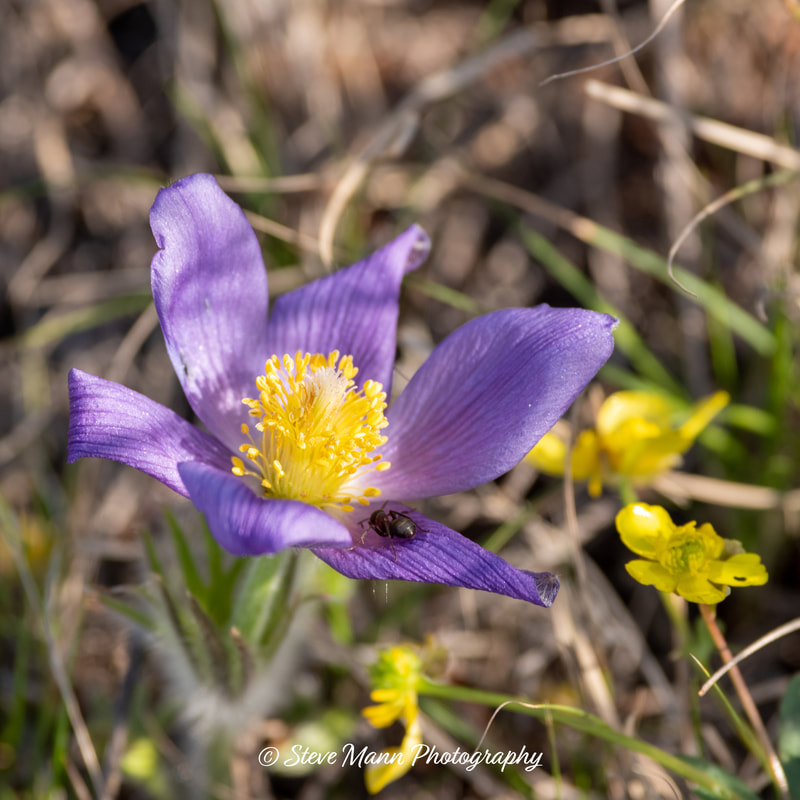
Pulsatilla patens (Eastern Pasque Flower)
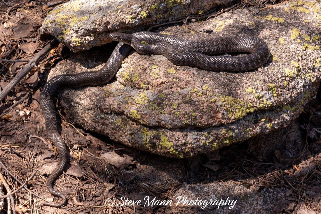
The descent was reasonably easy, if a bit scratchy and spiky in places. This snake was seen perhaps a quarter of the way down. At firs, I thought that is was a halys pit viper, but after posting the photograph on a Facebook snake identification page, I now know it to be another steppe rat snake. Its dark colouration made me think that it was a different species but it seems they can greatly vary in colour. It slowly moved away and disappeared down a small hole.
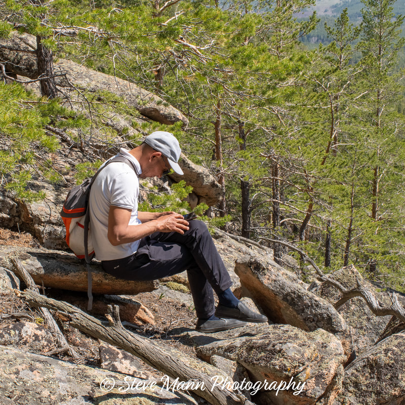
Kazbek - notice the alpinist sholderbag and mountaineering black slip-on shoes. I doubt if he is UIAA certified.
I was a bit anxious about getting back to Jasybay as Erzhan was supposed to be collecting me at 3pm, but when I called him, he told me that he got his days of May mixed up and would not be picking me up until the next day so it was back to the guesthouse for a sleep followed by a dip in the extremely cold Jasybay Lake!

