Aonach Shasuinn from the Plodda Falls
MunrosNone
|
CorbettsAonach Shasuinn
|
GrahamsNone
|
BothiesNone
|
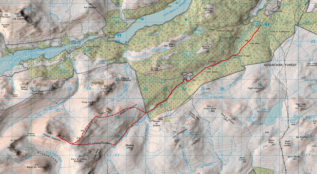
Distance/Ascent12km 711m
|
Estimated Time5h 45mins
|
NotesI have done Carn a' Choire Ghairbhe so I favour this route with what looks like a pleasant bike ride to the edge of the forest. It will also lead to me visiting Plodda Falls. Right: car park at Plodda Falls.
|
Start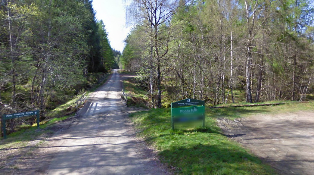
Click to enlarge. |
I believe it is possible to park at Cougie but the road is rather rough and better suited to the bike. Plus I enjoy the "bike and hike" approach.
It may be a good strategic move to include the Graham Carn a' Chaochain while in the area! It is included in the alternative route below. The summit is about 500m SSW of the trig point.
It may be a good strategic move to include the Graham Carn a' Chaochain while in the area! It is included in the alternative route below. The summit is about 500m SSW of the trig point.
View Aonach Shasuinn in a larger map
14 March 2015
Having decided on my objective the previous day, I found that I did not have a map covering this hill. Therefore, I was running around Dingwall trying to find a shop that was open and sold the right map. On the Landranger Series, Aonach Shasuinn falls on the edge of the maps 25 and 34. However, Explorer Map 415 covers the entire mountain.
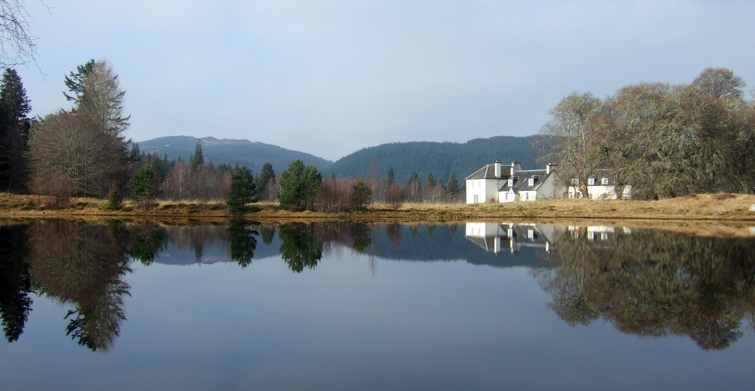
Although I was running late, I still stopped to photograph this pretty scene across a mirror-like lochan across to Hilton Lodge.
Although I was running late, I still stopped to photograph this pretty scene across a mirror-like lochan across to Hilton Lodge.
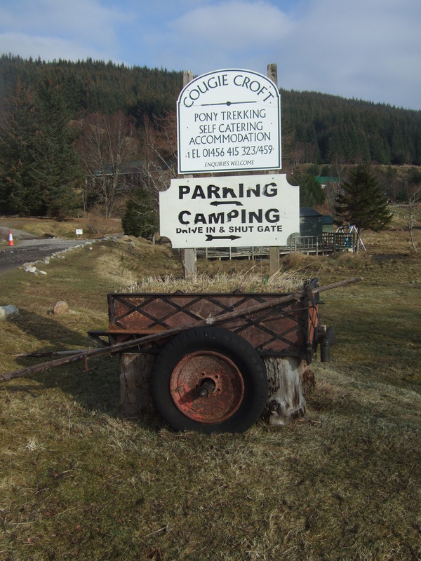
Instead of parking at plodda falls, I continued to Cougie where there is a designated parking area. The sign suggests that there is also camping but I couldn't see any toilets etc.
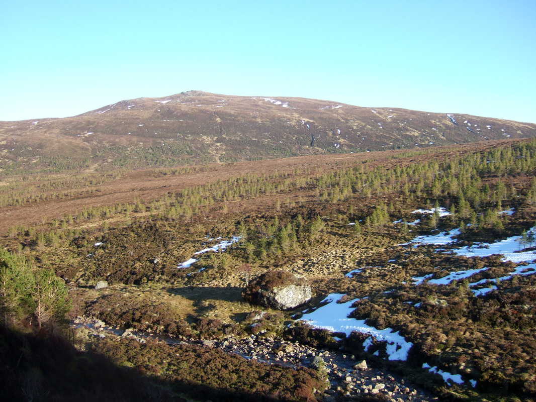
The 3km bike ride up the glen was soft and wet in places and hard going. There were some very deep puddles. I headed up the hillside and through a large gate in the deer fencing. As always it was great to reach the ridge and see the views beyond. It was somewhat easier going from here.

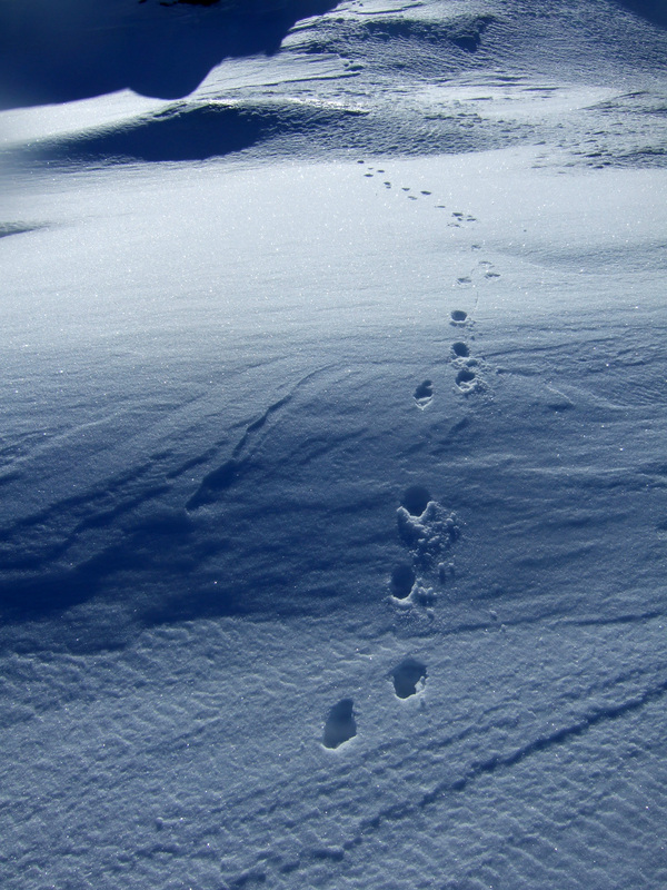
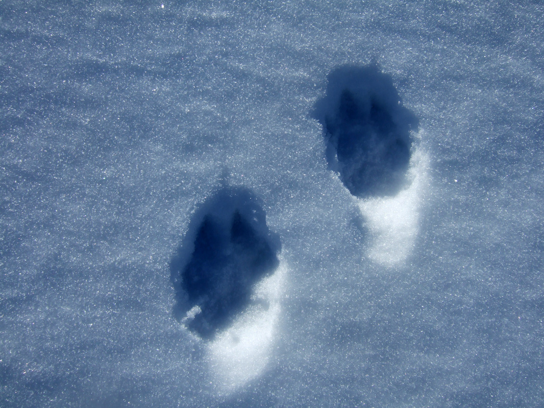
Further up, I found myself following these paw prints. They looked like dog paw prints but there were no signs of any human footprints. They were 7-8cm in length, a bit big for a fox but the snow could have melted to make them seem bigger but still keeping the same detail. Wildcat? Corbett bagging hound?
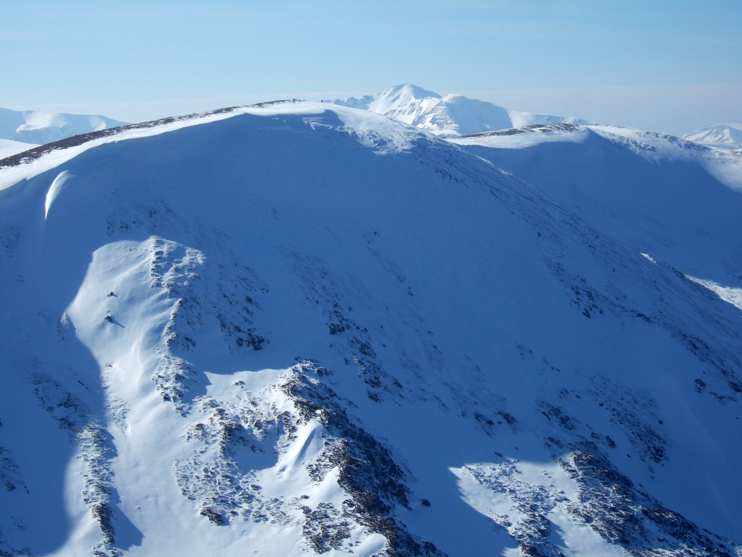
It was great to finally see the summit and Sgurr nan Conbhairean 1109 m in the distance. A'Chràileag 1120 m is also visible a little to the left of the summit of Aonach Shasuinn.

The summit of Aonach Shasuinn with Mullach Fraoch-Choire 1102 m beyond.
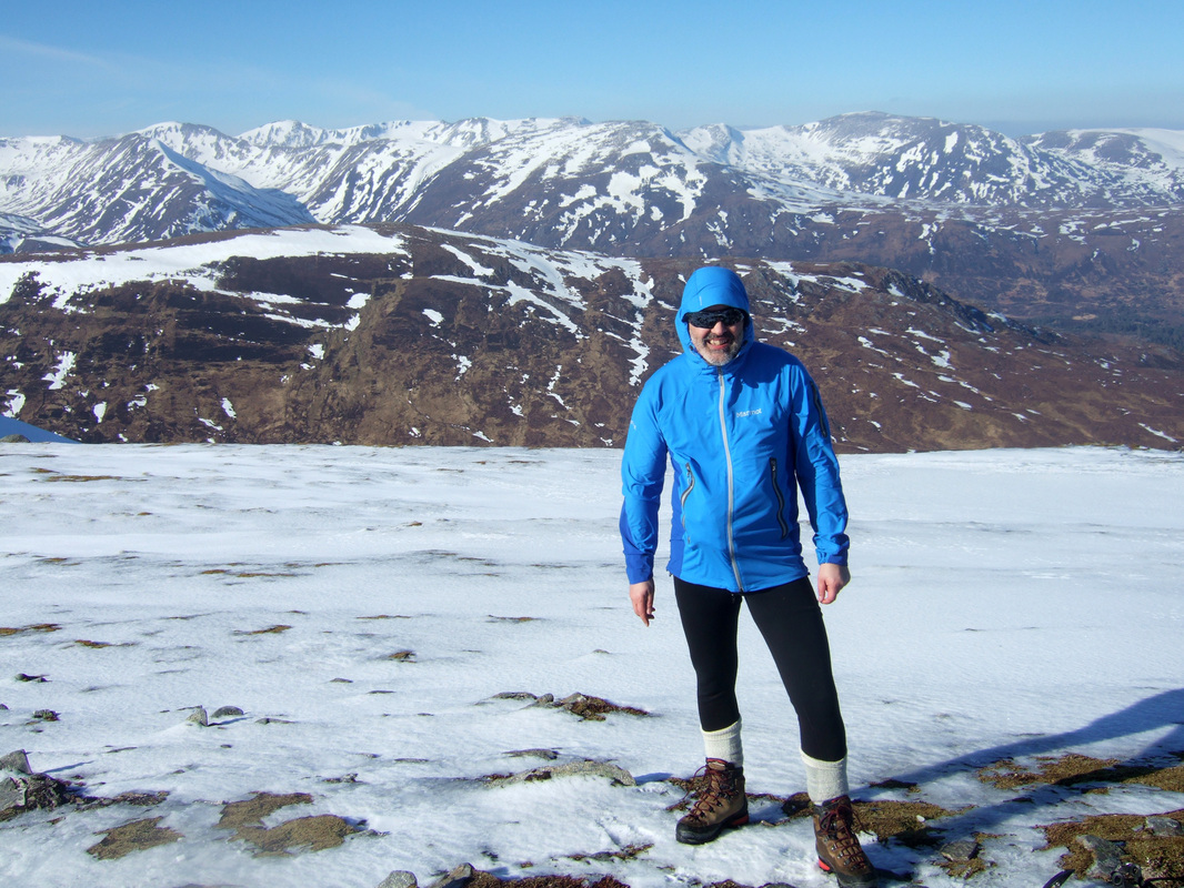
On reaching the summit, I could see two walkers approaching from the west, so I settled to eat my sandwiches and waited for them to arrive to take a summit photograph. This saved having to set up my Gorilla Pod. The two walkers were a married couple from Beauly (an Englishman with his Polish wife). By the time I left, I was beginning to feel a little cold so I headed back. Mam Sodhail, Carn Eighe and Tom a'Choinich are seen across Glen Affric.
This well built shelter wall is a short distance from the summit. The view here looks across Loch Beinn a' Mheadhoin.

I seriously considered heading over to the Graham, Carn a' Chaochain. I was very much in two minds with a 51/49% split in favour of heading down. There is a lot of rough, pathless terrain to reach this hill.
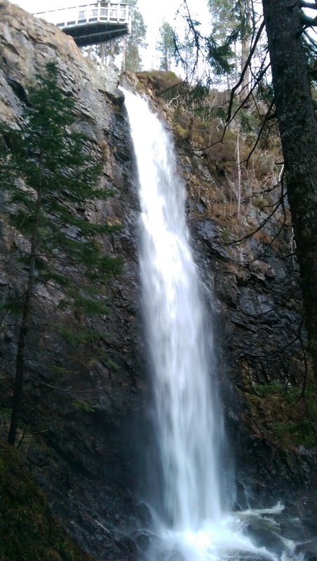
Heading back to base allowed a quick visit to the spectacular Plodda Falls while there was still daylight.